Paisley in Lake County, Oregon — The American West (Northwest)
Ranching - A way of Life
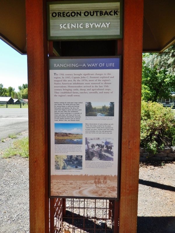
The 19th century brought significant changes to this region. In 1843, Captain John C. Fremont explored and mapped this area. By the 1870s, most of the region's Native American inhabitants were removed to distant reservations. Homesteaders arrived in the late 19th century bringing cattle, sheep, and agricultural crops. They established farms, ranches, sawmills, and many of the region's small towns.
Settlers looking for wide-open range settled near Paisley. This fertile land was ideal for raising sheep or cattle and farming feed grains and grasses. By 1870, this small town began to grow and three years later, the post office was established. Paisley's scenic landscape is a reminder of those early days, with many of the local geological features bearing the namesake of early Paisley pioneers such as Harvey Creek, Withers Lake, and Brattain Butte.
Many descendants of early settlers are still in the area today, evident by the area's "Century Farms" – family farms operated for at least 100 years. Families pass their skills and knowledge onto the next generation and new homes are built next to the old.
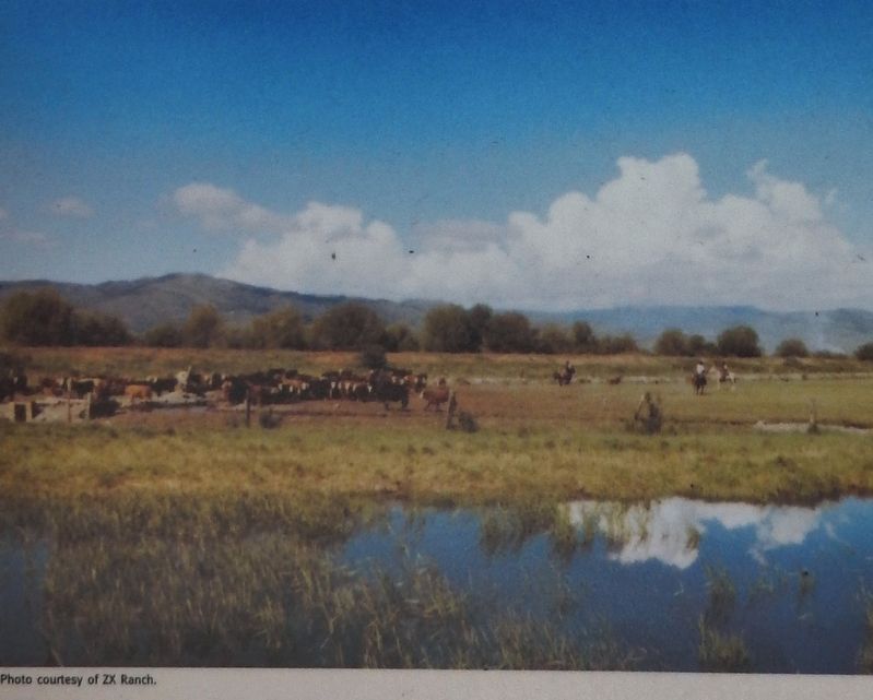
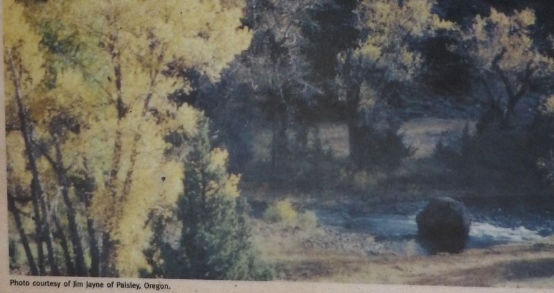
The local economy is based mainly on cattle ranching, farming, the USDA Forest Service, and recreational tourism. The ZX Ranch, which is headquartered south of Paisley, is one of the largest working cattle ranches in North America and is home to over 100 varieties of birds. Mule deer, pronghorn, bobcat, cougar, and coyote also roam the land.
Ranching is a primary occupation in Lake County. Many buckaroos settled in this area to work ranches and some still ride a horse to get the job done. Night and day, they cared for the cattle, birthing calves in freezing temperatures, and keeping an eye open for predatory coyotes and mountain lions.
Topics. This historical marker is listed in these topic lists: Agriculture • Exploration • Native Americans • Settlements & Settlers.
Location. 42° 41.58′ N, 120° 32.692′ W. Marker is in Paisley, Oregon, in Lake County. Marker is at the intersection of Fremont Highway (Oregon Route 31) and Chewaucan Street, on the right when traveling north on Fremont Highway. Marker is located within the Oregon Outback Scenic Byway kiosk, just north of the highway on the west side of Chewaucan Street. Touch for map. Marker is in this post office area: Paisley OR 97636, United States of America. Touch for directions.
Other nearby markers. At least 2 other markers are within walking distance of this marker. Paisley's History (here, next to this marker); Paisley United Methodist Church (about 400 feet away, measured in a direct line).
Also see . . .
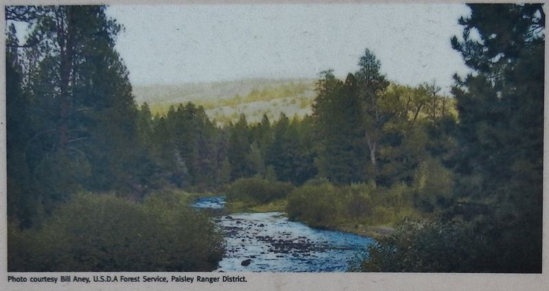
Chewaucan River.
The Chewaucan flows through Paisley and into what was once the Upper Chewaucan Marsh east of the town. The marsh is now pasture land, and the river’s flow through this area is controlled by a system of weirs and irrigation canals. (Submitted on February 5, 2018, by Cosmos Mariner of Cape Canaveral, Florida.)
Credits. This page was last revised on October 19, 2020. It was originally submitted on February 5, 2018, by Cosmos Mariner of Cape Canaveral, Florida. This page has been viewed 186 times since then and 15 times this year. Photos: 1, 2, 3, 4, 5, 6. submitted on February 5, 2018, by Cosmos Mariner of Cape Canaveral, Florida. • Andrew Ruppenstein was the editor who published this page.


