Chichimequillas in El Marqués, Querétaro, Mexico — The Central Highlands (North America)
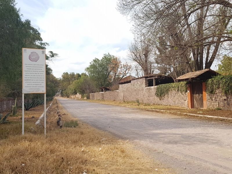
The Royal Inland Road near Chichimequillas
Inscription.
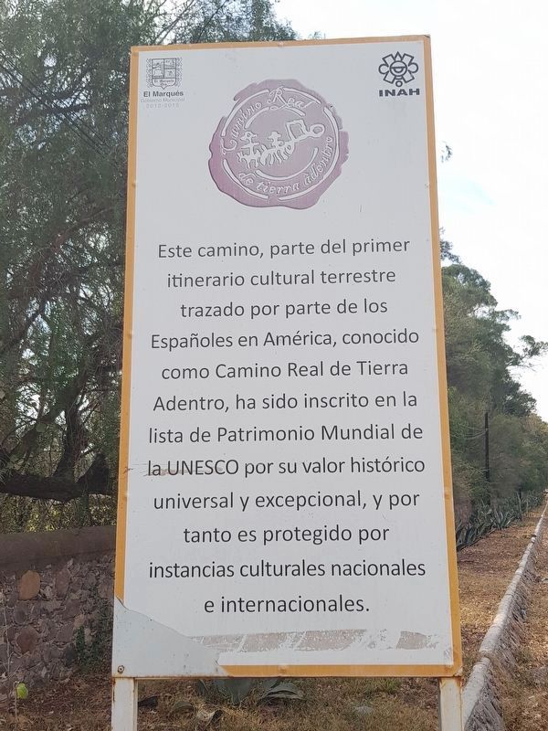
Este camino, parte del primer itinerario cultural terrestre trazado por parte de los Españoles en América, conocido como Camino Real de Tierra Adentro, ha sido inscrito en la lista de Patrimonio Munidal de la UNESCO por su valor histórico, universal y excepcional, y por tanto es protegido por instancias culturales nationales e internacionales.
The Royal Inland Road near Chichimequillas
This road, part of the first land-based cultural itinerary traced by the Spanish in the Americas, known as the Royal Inland Road (El Camino Real de Tierra Adentro), has been added to the list of the UNESCO World Heritage Sites for its universal and exceptional historical value, and therefore it is protected by national and international cultural authorities.
Erected by Instituto Nacional de Antropología e Historia (INAH).
Topics and series. This historical marker is listed in these topic lists: Colonial Era • Industry & Commerce • Man-Made Features • Roads & Vehicles. In addition, it is included in the El Camino Real de Tierra Adentro series list.
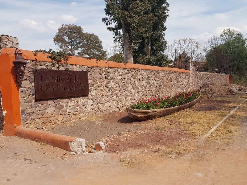
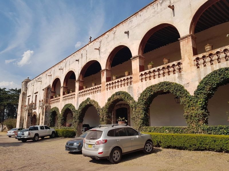
Location. 20° 45.411′ N, 100° 20.334′ W. Marker is in Chichimequillas, Querétaro, in El Marqués. Marker is on Unnamed road just south of Carretera El Paraíso – Carretera Federal 57 (Route 500), on the left when traveling west. The marker and remnant of the road are near the event venues "La Casa del Molino" and "La Misión de Chichimequillas". Touch for map. Marker is in this post office area: Chichimequillas QUE 76250, Mexico. Touch for directions.
Other nearby markers. At least 8 other markers are within 13 kilometers of this marker, measured as the crow flies. The Parish of Saint Philip of Jesus (approx. 1.1 kilometers away); Miguel Hidalgo y Costilla (approx. 11.4 kilometers away); The History of Santa Rosa Jáuregui (approx. 11.4 kilometers away); Timoteo Fernández de Jáuregui (approx. 11.4 kilometers away); The President Juárez Walkway and Founding of Santa Rosa Jáuregui (approx. 11.5 kilometers away); The Mission at Jalpan (approx. 11.8 kilometers away); Peña de Bernal (approx. 11.8 kilometers away); The Mission at Tilaco (approx. 11.8 kilometers away).
Regarding The Royal Inland Road near Chichimequillas.
The marker and nearby hacienda are shown at around 26 minutes into Episode 1 of the series "Narcos: Mexico" on Netflix. The scene briefly shows the marker and a portion of the old Inland Road outside of the hacienda. The scene continues inside of the hacienda where the Sinaloan group meets with the boss of Guadalajara and gets his assent to move their grow operation there in the 1980s. The interior of the hacienda is used briefly again at around 47 minutes into the episode.
Credits. This page was last revised on January 14, 2019. It was originally submitted on February 9, 2018, by J. Makali Bruton of Accra, Ghana. This page has been viewed 173 times since then and 9 times this year. Photos: 1, 2, 3, 4. submitted on February 9, 2018, by J. Makali Bruton of Accra, Ghana.


