Near Roll in Roger Mills County, Oklahoma — The American South (West South Central)
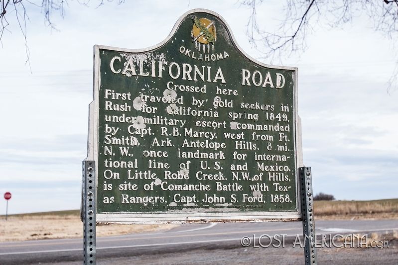
California Road
Crossed Here
Erected 1949 by Oklahoma Historical Society and State Highway Commission.
Topics and series. This historical marker is listed in these topic lists: Roads & Vehicles • Settlements & Settlers • Wars, US Indian. In addition, it is included in the California Trail, and the Oklahoma Historical Society series lists. A significant historical year for this entry is 1849.
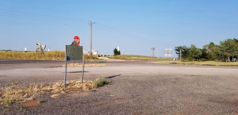
Location. 35° 47.865′ N, 99° 43.391′ W. Marker is near Roll, Oklahoma, in Roger Mills County. Marker is at the intersection of Oklahoma Route 33 and U.S. 283, on the left when traveling south on State Route 33. Site includes a picnic table. Touch for map. Marker is in this post office area: Crawford OK 73638, United States of America. Touch for directions.
Other nearby markers. At least 3 other markers are within 13 miles of this marker, measured as the crow flies. Grand (approx. 12 miles away); The Battle of the Washita (approx. 12˝ miles away); a different marker also named Battle of the Washita (approx. 13.1 miles away).
Additional keywords. Oklahoma, gold rush,
Credits. This page was last revised on September 11, 2021. It was originally submitted on February 10, 2018, by Lost Americana of Chicago, Illinois. This page has been viewed 371 times since then and 23 times this year. Photos: 1. submitted on February 10, 2018, by Lost Americana of Chicago, Illinois. 2. submitted on September 11, 2021, by James Hulse of Medina, Texas. • Andrew Ruppenstein was the editor who published this page.

