Tribeca in Manhattan in New York County, New York — The American Northeast (Mid-Atlantic)
Duane Park
Origins
Origins
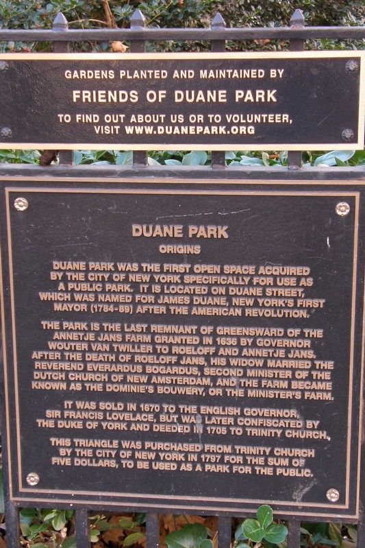
Duane Park was the first open space acquired by the City of New York specifically for use as a public park. It is located on Duane Street, which was named for James Duane, New York’s first mayor (1784-89) after the American Revolution.
The park is the last remnant of Greensward of the Annetje Jans farm granted in 1636 by Governor Woulter van Twiller to Roeloff and Annetje Jans. After the death of Roeloff Jans, his widow married the Reverend Everardus Bogardus, second minister of the Dutch Church of New Amsterdam, and the farm became known as the Dominie’s Bouwery, of the Minister’s Farm.
It was sold in 1670 to the English governor, Sir Francis Lovelace, but was later confiscated by the Duke of York and deeded in 1795 to Trinity Church.
This triangle was purchased from Trinity Church by the City of New York in 1797 for the sum of five dollars, to be used as a park for the public
Gardens planted and maintained by Friends of Duane Park
To find out about us or to volunteer, visit www.duanepark.org
Topics. This historical marker is listed in these topic lists: Colonial Era • Parks & Recreational Areas. A significant historical year for this entry is 1636.
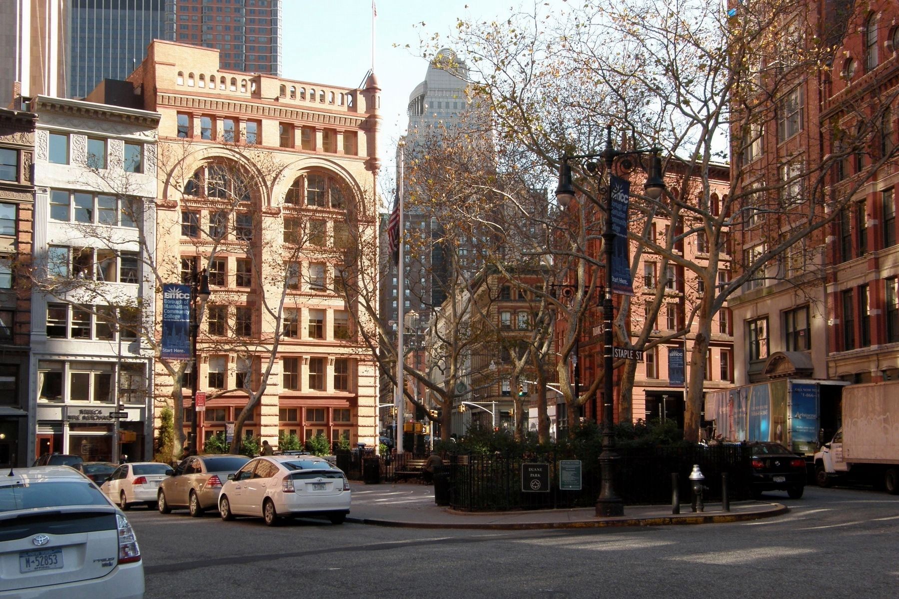
Location. 40° 43.031′ N, 74° 0.563′ W. Marker is in Manhattan , New York, in New York County. It is in Tribeca. Marker is at the intersection of Duane Street and Duane Street when traveling north on Duane Street. The park is at a triangle bounded by Hudson, Duane and Staples Streets. Touch for map. Marker is in this post office area: New York NY 10013, United States of America. Touch for directions.
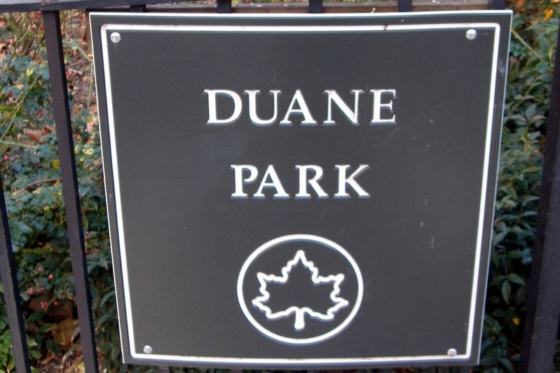
Other nearby markers. At least 8 other markers are within walking distance of this marker. A different marker also named Duane Park (here, next to this marker); James Bogardus Viewing Garden (about 400 feet away, measured in a direct line); Headquarters (about 400 feet away); James Bogardus Triangle (about 500 feet away); New York Mercantile Exchange (about 600 feet away); 31 Harrison Street (about 700 feet away); Icarus (about 700 feet away); Finn Square (approx. 0.2 miles away). Touch for a list and map of all markers in Manhattan.
Credits. This page was last revised on January 31, 2023. It was originally submitted on February 11, 2018, by Larry Gertner of New York, New York. This page has been viewed 214 times since then and 32 times this year. Photos: 1, 2, 3. submitted on February 11, 2018, by Larry Gertner of New York, New York. • Bill Pfingsten was the editor who published this page.


