South Windsor in Hartford County, Connecticut — The American Northeast (New England)
Bissell Ferry
1641 - 1917
— American Bicentennial 1776 - 1976 —
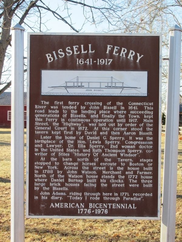
The first ferry crossing of the Connecticut River was tended by John Bissell in 1641. This road leads to the landing place where succeeding generations of Bissells, and finally the Town, kept this Ferry in continuous operation until 1917. Main Street, the "Highway", was laid out by order of the General Court in 1672. At this corner stood the tavern kept first by David and then Aaron Bissell.
Later the home of Daniel G. Sperry, it was the birthplace of the Hon. Lewis Sperry, Congressman and Lawyer. Dr. Ella Sperry, 2nd woman doctor in the United States, and Ruth Thompson Sperry, co writer of Stiles "History Of Ancient Windsor”.
At the barn north of the Tavern, stages stopped to change horses enroute to Boston or New York. Across the street is the house built in 1788 by John Watson, Merchant and Farmer. North of the Watson house stands the 1772 house where Daniel Burnap built his clocks. The three large brick houses facing the street were built by the Bissells. John Adams, riding through here in 1771, recorded in his diary. "Today I rode through Paradise".
Topics and series. This historical marker is listed in these topic lists: Colonial Era • Waterways & Vessels. In addition, it is included in the Former U.S. Presidents: #02 John Adams series list.
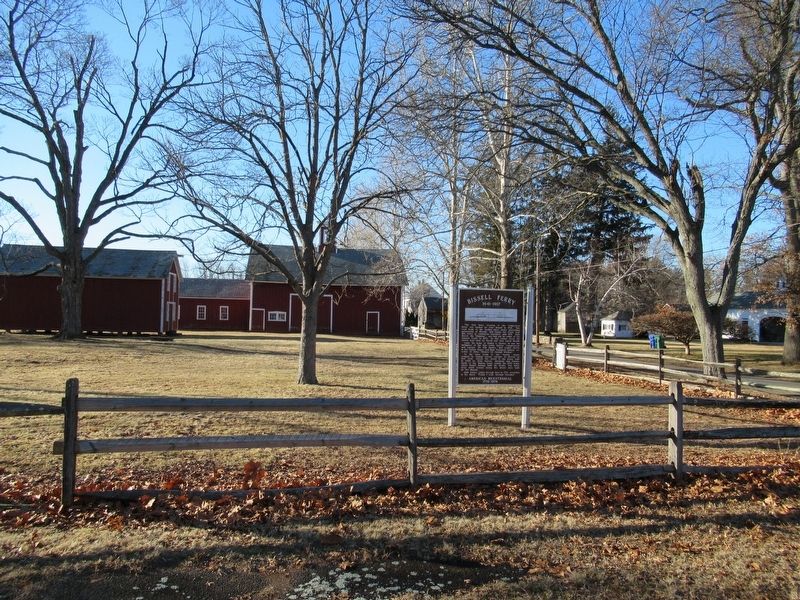
Location. 41° 51.533′ N, 72° 36.241′ W. Marker is in South Windsor, Connecticut, in Hartford County. Marker is at the intersection of Main Street and Ferry Lane, on the left when traveling north on Main Street. Touch for map. Marker is in this post office area: South Windsor CT 06074, United States of America. Touch for directions.
Other nearby markers. At least 8 other markers are within 2 miles of this marker, measured as the crow flies. Post Office & Store (within shouting distance of this marker); South Windsor (within shouting distance of this marker); a different marker also named Bissell Ferry (approx. ¾ mile away); Timothy Edwards (approx. ¾ mile away); Jonathan Edwards (approx. ¾ mile away); Old Burying Ground (approx. ¾ mile away); Birthplace of Jonathan Edwards (approx. 1.1 miles away); Bissell's Ferry (approx. 1.4 miles away). Touch for a list and map of all markers in South Windsor.
Also see . . . The Lost Years of Bissell’s Ferry. Windsor Historical Society website entry (Submitted on February 11, 2018, by Michael Herrick of Southbury, Connecticut.)
Credits. This page was last revised on June 6, 2021. It was originally submitted on February 11, 2018, by Michael Herrick of Southbury, Connecticut. This page has been viewed 595 times since then and 57 times this year. Photos: 1, 2. submitted on February 11, 2018, by Michael Herrick of Southbury, Connecticut.

