South Windsor in Capitol Region, Connecticut — The American Northeast (New England)
Bissell Ferry
Photographed by Michael Herrick, February 5, 2018
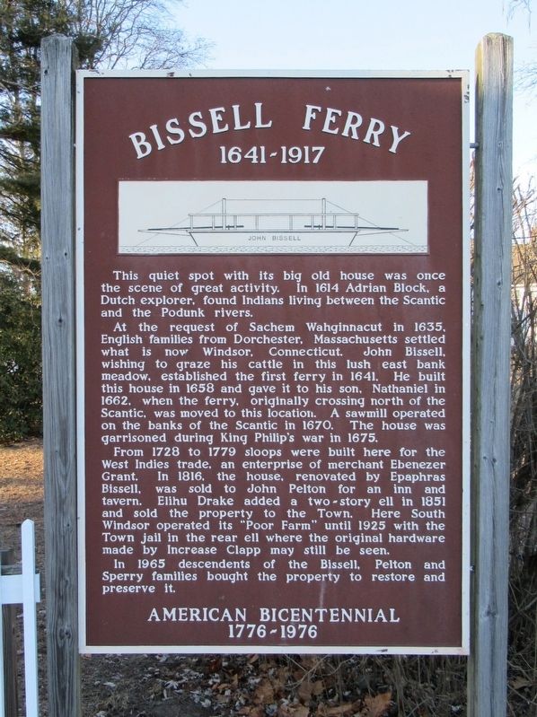
1. Bissell Ferry Marker
1641 - 1917
At the request of Sachem Wahginnacut in 1635, English families from Dorchester, Massachusetts settled what is now Windsor, Connecticut. John Bissell, wishing to graze his cattle in this lush east bank meadow, established the first ferry in 1641. He built this house in 1658 and gave it to his son, Nathaniel in 1662, when the ferry, originally crossing north of the Scantic, was moved to this location. A sawmill operated on the banks of the Scantic in 1670. The house was garrisoned during King Philip's war in 1675.
From 1728 to 1779 sloops were built here for the West Indies trade, an enterprise of merchant Ebenezer Grant. In 1816, the house, renovated by Epaphras Bissell, was sold to John Pelton for an inn and tavern. Elihu Drake added a two-story ell in 1851 and sold the property to the Town. Here South Windsor operated its “Poor Farm" until 1925 with the Town jail in the rear ell where the original hardware
this page online
In 1965 descendents of the Bissell, Pelton and Sperry families bought the property to restore and preserve it.
Topics and series. This historical marker is listed in these topic lists: Colonial Era • Waterways & Vessels. In addition, it is included in the King Philip's War 1675-1676 series list.
Location. 41° 51.79′ N, 72° 37.025′ W. Marker is in South Windsor in Capitol Region, Connecticut. It is on Ferry Lane 0.7 miles west of Main Street, on the right when traveling west. Located at the end of Ferry Lane. Touch for map. Marker is in this post office area: South Windsor CT 06074, United States of America. Touch for directions.

Regionally, this marker is in the Connecticut River Valley, in Greater Hartford, and in the Knowledge Corridor. It is also in the American Northeast and in New England. Globally, it is in North America, the Western Hemisphere, the Western World, and the Anglosphere. Historically, it finds itself in what was once Hartford County and also one of the original Thirteen
Photographed by Michael Herrick, February 5, 2018
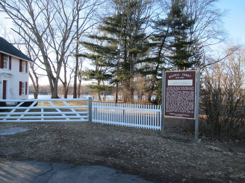
2. Bissell Ferry Marker
The Connecticut River can be seen about 100 yards behind the marker.
Other nearby markers. At least 8 other markers are within one mile of this marker, measured as the crow flies: Bissell's Ferry (approx. 0.7 miles away); a different marker also named Bissell Ferry (approx. ¾ mile away); Post Office & Store (approx. ¾ mile away); South Windsor (approx. ¾ mile away); Old Fort Marker (approx. ¾ mile away); Windsor Pilgrims (approx. 0.8 miles away); Horace H. Hayden, M.D.,D.D.S. (approx. 1.1 miles away); Founders Of Windsor (approx. 1.1 miles away). Touch for a list and map of all markers in South Windsor.
Related marker. Click here for another marker that is related to this marker. Bissell Ferry marker on the western side of the Connecticut River
Also see . . . The Lost Years of Bissell’s Ferry. Windsor Historical Society website entry (Submitted on February 12, 2018, by Michael Herrick of Southbury, Connecticut.)
Credits. This page was last revised on May 19, 2026. It was originally submitted on February 12, 2018, by Michael Herrick of Southbury, Connecticut. This page has been viewed 998 times since then and 56 times this year. Photos: 1, 2. submitted on February 12, 2018, by Michael Herrick of Southbury, Connecticut.
