Milam in Sabine County, Texas — The American South (West South Central)
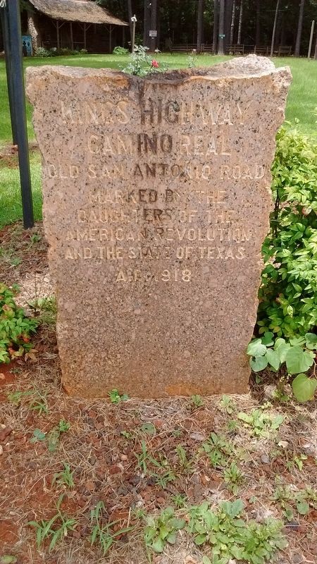
Kings Highway
Camino Real
| — | Old San Antonio Road | — |
Photographed by Tom Bosse, July 4, 2017
1. Kings Highway Marker
Daughters of the
American Revolution
and the State of Texas
A.D. 1918
Erected 1918 by Daughters of the American Revolution and the State of Texas. (Marker Number 3.)
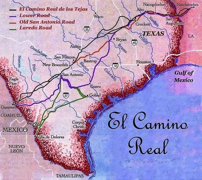
Topics and series. This historical marker is listed in these topic lists: Colonial Era • Roads & Vehicles. In addition, it is included in the Daughters of the American Revolution (DAR), and the El Camino Real de los Tejas National Historic Trail series lists. A significant historical year for this entry is 1918.
Location. 31° 25.964′ N, 93° 50.839′ W. Marker is in Milam, Texas, in Sabine County. It is on State Highway 21, on the right when traveling west. Touch for map. Marker is in this post office area: Milam TX 75959, United States of America. Touch for directions.

Regionally, this marker is in the American South, specifically in the Deep South, and in the Piney Woods. Globally, it is in North America, a Gulf of Mexico state, the Western Hemisphere, the Western World, and the Anglosphere. Historically, it finds itself in what was once New Spain, the Republic of Texas, one of the Confederate States of America, and the Antebellum South.
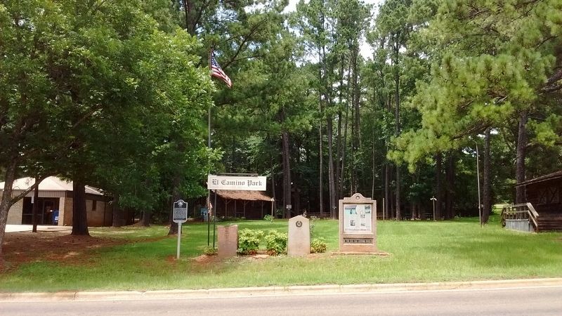
Other nearby markers. At least 8 other markers are within walking distance of this marker: Milam (here, next to this marker); The Old San Antonio Road (here, next to this marker); a different marker also named Milam (here, next to this marker); John C. Hale (about 400 feet away, measured in a direct line); Milam Masonic Institute (about 400 feet away); C.A. Nethery & Sons General Merchandise (about 700 feet away); Bethany Baptist Church (about 800 feet away); Milam Cemetery (approx. 0.3 miles away). Touch for a list and map of all markers in Milam.
More about this marker. Approximately 128 identical markers were placed, at roughly 5 mile intervals, by the DAR in
this page online
Photographed by Tom Bosse, July 4, 2017
2. Kings Highway Marker
Photographed by Tom Bosse
3. El Camino Real
Credits. This page was last revised on May 9, 2022. It was originally submitted on February 14, 2018, by Tom Bosse of Jefferson City, Tennessee. This page has been viewed 549 times since then and 41 times this year. Photos: 1, 2, 3. submitted on February 14, 2018, by Tom Bosse of Jefferson City, Tennessee. • Bernard Fisher was the editor who published this page.
