Navy Yard in Southeast Washington in Washington, District of Columbia — The American Northeast (Mid-Atlantic)
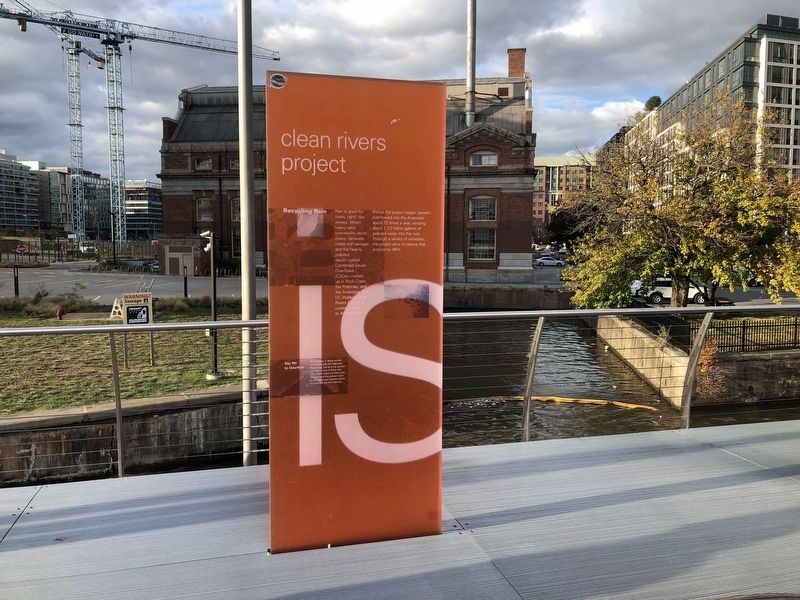
Clean Rivers Project
Water Is Life
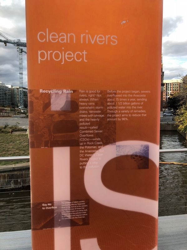
Recycling Rain
Rain is good for rivers, right? Not always. When heavy rains overwhelm storm drains, rainwater mixes with sewage, and the heavily polluted result—called Combined Sewer Overflows (CSOs)—winds up in Rock Creek,, the Potomac, and the Anacostia. But DC Water's Clean Rivers Project is putting a stop to the pollution.
Before the project began, sewers overflowed into the Anacostia about 75 times a year, sending about 1½ billion gallons of polluted water into the river. Through a variety of remedies, the project aims to reduce that amount by 98%.
Say No to Overflow
The problem of storm sewers overflowing into the Anacostia River is big, but so is the solution. Tunnels the size of those that carry Metro trains are being built, and will send the polluted water to be treated and cleaned before it's released to the Potomac.
Topics. This historical marker is listed in these topic lists: Charity & Public Work • Environment • Waterways & Vessels.
Location. 38° 52.36′ N, 77° 0.192′ W. Marker is in Southeast Washington in Washington, District
this page online

Regionally, this marker is in the Washington Metropolitan Area. It is also in the American Northeast, in the Upper South, in the Mid-Atlantic, in the Tidewater, and in the Chesapeake Bay Region. Globally, it is in North America, the Western Hemisphere, the Western World, and the Anglosphere.
Other nearby markers. At least 6 other markers are within walking distance of this marker: Play (here, next to this marker); Restore and Connect (a few steps from this marker); Historic Pumping Station (a few steps from this marker); Foundry (about 400 feet away, measured in a direct line); Lumber Shed - Form and Function (about 500 feet away); Radio Towers (about 600 feet away). Touch for a list and map of all markers in Southeast Washington.
Other markers no longer nearby. The Lumber Shed (was about 500 feet away but has been replaced with another marker now near it); Twelve12
Also see . . . Clean Rivers Project. (Submitted on February 15, 2018, by Devry Becker Jones of Washington, District of Columbia.)
Credits. This page was last revised on January 30, 2023. It was originally submitted on February 15, 2018, by Devry Becker Jones of Washington, District of Columbia. This page has been viewed 257 times since then and 10 times this year. Photos: 1, 2. submitted on October 28, 2021, by Devry Becker Jones of Washington, District of Columbia. • Bill Pfingsten was the editor who published this page.
