Oregon City in Clackamas County, Oregon — The American West (Northwest)
Earthquakes and Mountain Fog
The First People and the Mountain
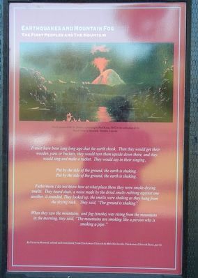
Photographed by Barry Swackhamer, September 25, 2017
1. Earthquakes and Mountain Fog Marker
Put by the side of the ground, the earth is shaking.
Put by the side of the ground, the earth is shaking.
Futhermore (sic) I do not know how at what there they were smoke-drying smelts. They heard shah, a noise made by the dried smelts rubbing against one another, it sounded. They looked up, the smelts were shaking as they hung from the drying rack. They said, "The ground is shaking."
When they saw the mountain, and fog (smoke) was rising from the mountains in the morning, they said, "The mountains are smoking like a person who is smoking a pipe."
By Victoria Howard, edited and translated from Clackamas Chinook by Melville Jacobs, Clackamas Chinook Texts, part 2.
Erected by End of the Oregon Trail Interpretive Center.
Topics. This historical marker is listed in these topic lists: Disasters • Indigenous Peoples and Communities • Natural Features.
Location. 45° 21.864′ N,
this page online

Regionally, this marker is in the Willamette Valley and in Greater Portland Area. It is also on the American Pacific Coast, in the Pacific Northwest, and in the Lewis & Clark Corridor. Globally, it is in North America, in the Cascade Range, on the Ring of Fire, on the Pacific Rim, in the Western Hemisphere, in the Western World, and in the Anglosphere.
Other nearby markers. At least 8 other markers are within walking distance of this marker: Lot Whitcomb (here, next to this marker); Sidney W. Moss (here, next to this marker); Fishing At Tumwater (here, next to this marker); Medorem Crawford (a few steps from this marker); Abigail Scott Duniway (a few steps from this marker); Clackamas Chinook (a few steps from this marker); Wagons (a few steps from this marker); The Trail of Tears (a
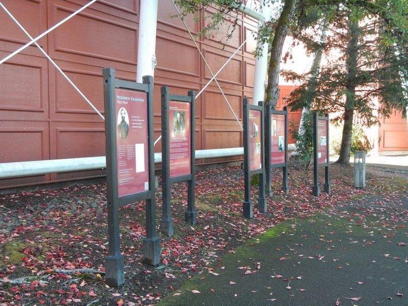
Photographed by Barry Swackhamer, September 25, 2017
2. Earthquakes and Mountain Fog Marker
More about this marker. This marker is located next to the End Of Oregon Trail Interpretive Center facing outward towards Abernethy Green.
Credits. This page was last revised on February 14, 2026. It was originally submitted on February 17, 2018, by Barry Swackhamer of Brentwood, California. This page has been viewed 408 times since then and 31 times this year. Photos: 1, 2. submitted on February 17, 2018, by Barry Swackhamer of Brentwood, California.
