Blue River in Lane County, Oregon — The American West (Northwest)
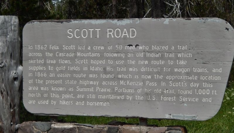
Scott Road
Photographed by Cosmos Mariner, June 27, 2015
1. Scott Road Marker
In 1862 Felix Scott led a crew of 50 men who blazed a trail across the Cascade Mountains following an old Indian trail which skirted lava flows. Scott hoped to use the new route to take supplies to gold fields in Idaho. His trail was difficult for wagon trains, and in 1866 an easier route was found which is now the approximate location of the present state highway across McKenzie Pass. In Scott’s day this area was known as Summit Prairie. Portions of his old trail, found 1,000 ft. north of this point, are still maintained by the U.S. Forest Service and are used by hikers and horsemen.
Topics. This historical marker is listed in these topic lists: Horticulture & Forestry • Indigenous Peoples and Communities • Roads & Vehicles • Settlements & Settlers. A significant historical year for this entry is 1862.
Location. 44° 12.61′ N, 121° 52.567′ W. Marker is in Blue River, Oregon, in Lane County. It is on McKenzie Highway (Oregon Route 242) west of Forest Road 260, on the right when traveling west. Marker is located in pull-out on the north side of the highway. Touch for map. Marker is in this post office
this page online

Regionally, this marker is in the Willamette Valley. It is also on the American Pacific Coast, in the Pacific Northwest, and in the Lewis & Clark Corridor. Globally, it is in North America, in the Cascade Range, on the Ring of Fire, on the Pacific Rim, in the Western Hemisphere, in the Western World, and in the Anglosphere.
Other nearby markers. At least 7 other markers are within 15 miles of this marker, measured as the crow flies: Pioneer Mailman (approx. 3.2 miles away); Wisely Reasoned (approx. 5.1 miles away); A Fittin' Tribute (approx. 5.1 miles away); Dee Wright Observatory (approx. 5.1 miles away); Old Wagon Road (approx. 5.1 miles away); The Life of a Lake (approx. 14.6 miles away); Time Traveler (approx. 14.6 miles away).
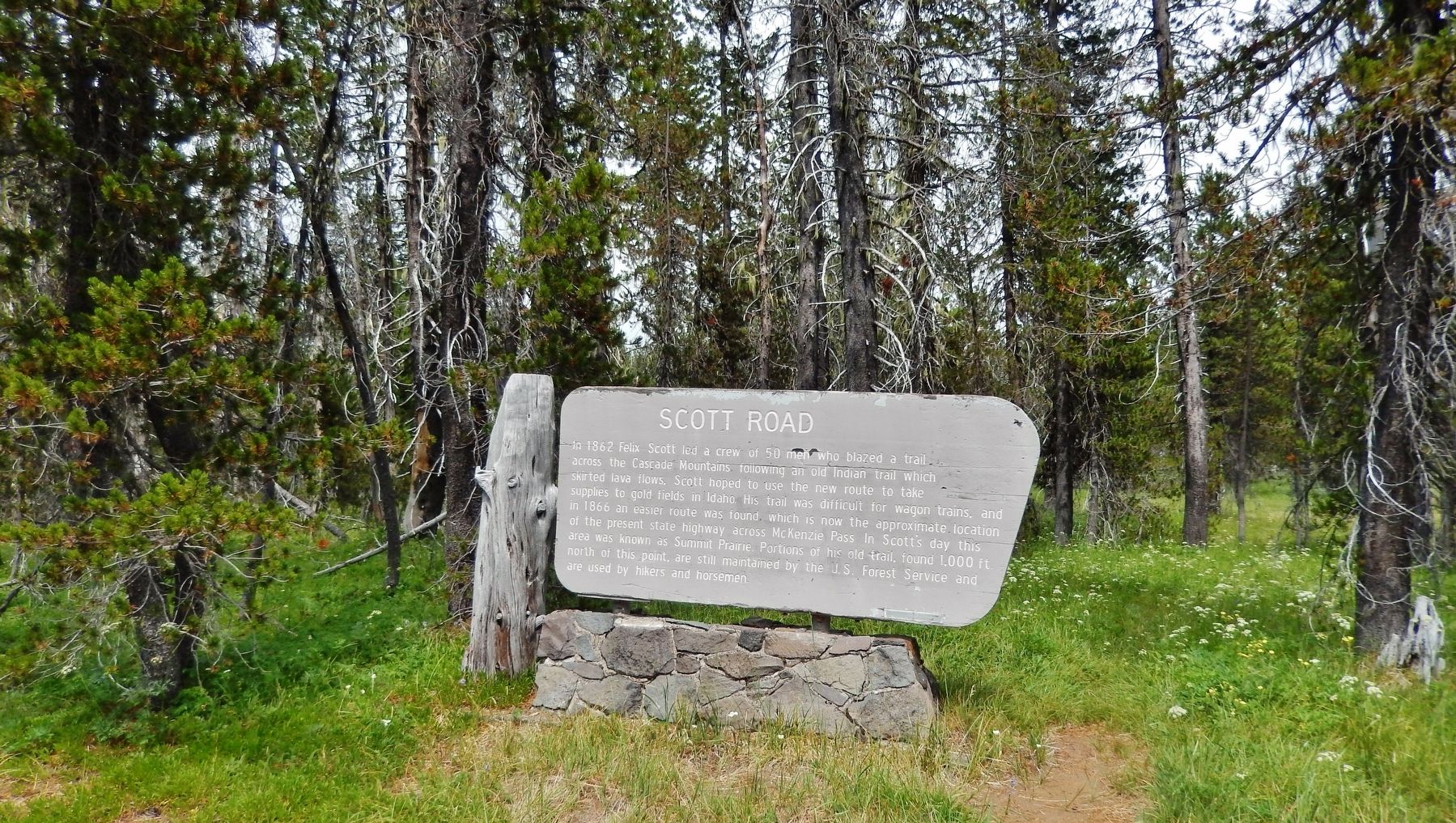
More about this marker. Large wooden "Forest Service" style marker, mounted on a stonework pedestal.
Also see . . . Deschutes County History.
In 1859 Oregon gained statehood, however Central Oregon remained largely unsettled. Three years later the first real settlers arrived in Central Oregon. Cattle
Photographed by Cosmos Mariner, June 27, 2015
2. Scott Road Marker (wide view)
Credits. This page was last revised on October 19, 2020. It was originally submitted on February 19, 2018, by Cosmos Mariner of Cape Canaveral, Florida. This page has been viewed 877 times since then and 93 times this year. Last updated on February 20, 2018, by Douglass Halvorsen of Klamath Falls, Oregon. Photos: 1, 2. submitted on February 19, 2018, by Cosmos Mariner of Cape Canaveral, Florida. • Andrew Ruppenstein was the editor who published this page.
