
Dayton in Yamhill County, Oregon — The American West (Northwest)
Pioneer Park and Blockhouse
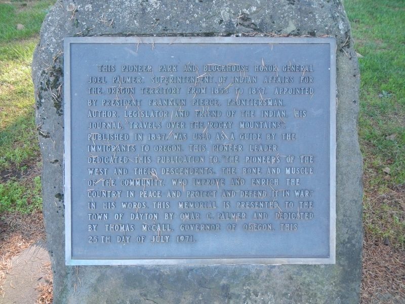
Photographed by Barry Swackhamer, September 26, 2017
1. Pioneer Park and Blockhouse Marker
Erected 1971 by Omar C. Palmer.
Topics and series. This historical marker is listed in these topic lists: Exploration • Indigenous Peoples and Communities • Parks & Recreational Areas • Settlements & Settlers. In addition, it is included in the Former U.S. Presidents: #14 Franklin Pierce series list. A significant historical month for this entry is July 1971.
Location. 45° 13.266′ N, 123° 4.579′ W.
this page online

Regionally, this marker is in Oregon Wine Country, in the Willamette Valley, and in Greater Portland Area. It is also on the American Pacific Coast, in the Pacific Northwest, and in the Lewis & Clark Corridor. Globally, it is in North America, the Pacific Rim, the Western Hemisphere, the Western World, and the Anglosphere.
Other nearby markers. At least 8 other markers are within 10 miles of this marker, measured as the crow flies: Courthouse Square Park (a few steps from this marker); Yamhill Blockhouse (a few steps from this marker); St. Paul Roman Catholic Church (approx. 4.8 miles away); The Most Reverend F. N. Blanchet (approx. 5 miles away); Hoover - Minthorn House (approx. 7½ miles away); Champoeg (approx. 8.7 miles away); The Wheatland Ferry (approx. 9 miles away); Madame Marie Dorion (approx.
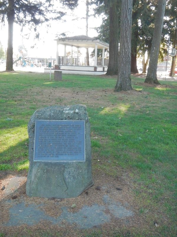
Photographed by Barry Swackhamer, September 26, 2017
2. Pioneer Park and Blockhouse Marker
Another marker is no longer nearby. Willamette Post (was approx. 7.1 miles away but has been confirmed missing).
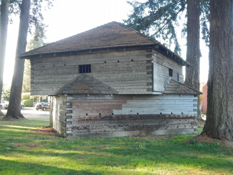
Photographed by Barry Swackhamer, September 26, 2017
3. Yamhill Blockhouse
Credits. This page was last revised on December 3, 2019. It was originally submitted on February 23, 2018, by Barry Swackhamer of Brentwood, California. This page has been viewed 359 times since then and 37 times this year. Photos: 1, 2, 3. submitted on February 23, 2018, by Barry Swackhamer of Brentwood, California.
