Mississippi River
New Roads Old Ferry Landing
| — | Atchafalaya Water Heritage Trail | — |
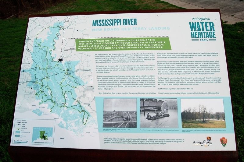
Significant prehistoric flooding in this area of the Mississippi River occurred through the breaches in the river's natural levees along the Pointe Coupée coast, which was vulnerable to erosion and overtopping by floodwaters.
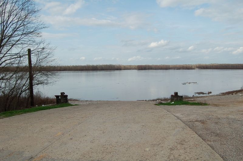
The “Old Ferry Landing” was the western boarding location of the New Roads/St. Francisville Ferry, a service connecting LA Hwy. 10 across the Mississippi River. A series of toll ferries existed at this location beginning in the 1820s, followed by a 35-car ferry from 1956 to 2011. The Mississippi River Flood of 2011 ended nearly 200 years of ferry service here and prompted the early opening of the nearby John James Audubon Bridge, the longest cable-stayed bridge in the Western Hemisphere.
This landing is near the eastern end of a French colonial settlement called the Pointe Coupée Coast. One of the first permanent settlements in the entire Mississippi River valley—dating to about 1727—it extended along the high natural levee landform on the Mississippi’s west bank to the north of present-day Morganza.
Seasonal or regional weather-related high water (such as tropical systems
this page online
When flooding from these crevasses inundated the expansive Mississippi and Atchafalaya floodplains, the Pleistocene terraces on either side became the banks of the Mississippi—allowing the river to become as wide as the distance between Baton Rouge and Lafayette. These deluges covered an area from here to the coastal delta plain at the Gulf of Mexico.
By constructing a system of primitive levees, early landowners attempted to limit flood damage to local property. Regardless, the river broke through these man-made protections at crevasses during periods of extremely high water, just as it had broken
The Mississippi River overflowed and flooded frequently—sometimes annually—through crevasses along the Pointe Coupée Coast, especially at the “Grand Levee” area several miles upriver near present-day Morganza. This levee was so important for the region that its repeated failure in the 1840's and 1850's was a catalyst for public funding of levee construction in Louisiana.
Visit Atchafalaya.org for more information about this site.
This site’s geology/geomorphology: Holocene meander-belt (point bar) deposits of Mississippi River
Erected by State of Louisiana and National Park Service.
Topics and series. This historical marker is
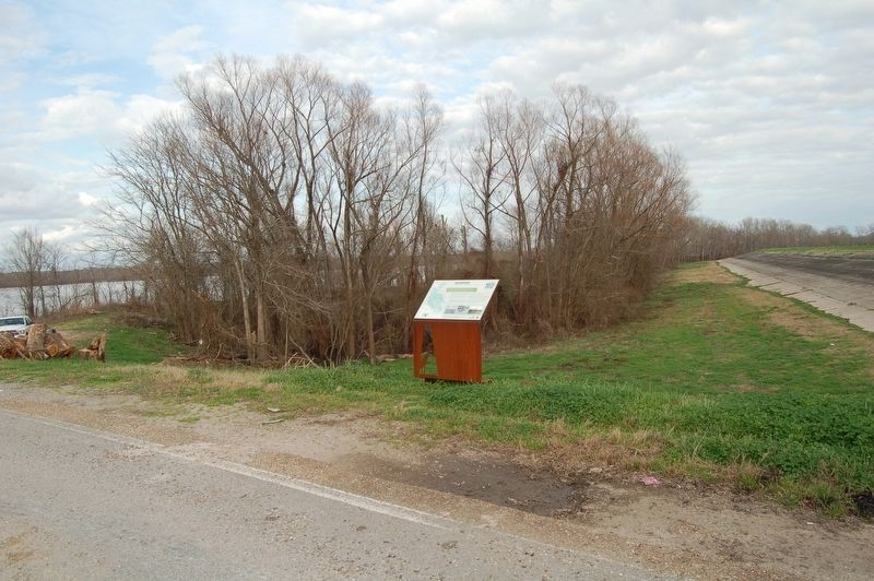
Location. 30° 45.062′ N, 91° 23.871′ W. Marker is in New Roads, Louisiana, in Pointe Coupée Parish. It is on Ferry Road near State Highway 981. Located at Old Ferry Landing site. Touch for map. Marker is in this post office area: New Roads LA 70760, United States of America. Touch for directions.

Regionally, this marker is in Acadiana — Cajun Country and in Greater Baton Rouge. It is also in the American South, specifically in the Deep South, and in the Great River Road Region. Globally, it is in North America, a Gulf of Mexico state, the Western Hemisphere, the Western World, and the Anglosphere. Historically, it finds itself in what was once New Spain, the Viceroyalty of New France, Acadia, the territory of the Mississippian Culture, the Louisiana Purchase, one of the Confederate States of America, and the Antebellum South.
Other nearby markers. At least 8 other markers are within 2 miles of this marker, measured as the crow flies: Captain Bennett Landing (approx. 0.9 miles away); Our Caboose (approx. 1.6 miles away); The Historic West Feliciana Railroad (approx. 1.6 miles away); Bayou Sara Depot (approx. 1.6 miles away); West Feliciana Railroad (approx. 1.6 miles away); Bayou Sara (approx. 1.7 miles away); Hillcroft (approx. 1.7 miles away); Prospect (approx. 1.7 miles away).
Credits. This page was last revised on February 23, 2018. It was originally submitted on February 23, 2018, by Cajun Scrambler of Assumption, Louisiana. This page has been viewed 609 times since then and 43 times this year. Photos: 1, 2, 3. submitted on February 23, 2018.
