Manhattan Beach in Los Angeles County, California — The American West (Pacific Coastal)
Manhattan Beach Pier
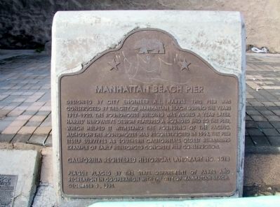
Photographed by Michael Kindig, October 29, 2007
1. Manhattan Beach Pier Marker
Erected 1995 by State Department of Parks and Recreation in cooperation with the City of Manhattan Beach. (Marker Number 1018.)
Topics and series. This historical marker is listed in these topic lists: Parks & Recreational Areas • Waterways & Vessels. In addition, it is included in the California Historical Landmarks series list. A significant historical year for this entry is 1989.
Location. 33° 53.067′ N, 118° 24.72′ W. Marker is in Manhattan Beach, California, in Los Angeles County. It is at the intersection of Manhattan Beach Boulevard and North The Strand, on the right when traveling west on Manhattan Beach Boulevard. Marker is located at the northeast
this page online

Regionally, this marker is in Greater Los Angeles and in the Transverse Ranges. It is also on the American Pacific Coast. Globally, it is in North America, on the Ring of Fire, on the Pacific Rim, in the Western Hemisphere, in the Western World, and in the Anglosphere. Historically, it finds itself in what was once New Spain and also Mexico’s Alta California.
Other nearby markers. At least 8 other markers are within 2 miles of this marker, measured as the crow flies: Catalina Classic (about 300 feet away, measured in a direct line); Former Site Of The La Mar Theatre (about 700 feet away); The History of Bruce’s Beach (approx. 0.7 miles away); Bruce’s Beach Park (approx. 0.7 miles away); Francis Miyosaku Uyematsu (approx. 1½ miles away); Beach Cottage (approx. 1.6 miles away); The Metropolitan Theater (approx. 1.6 miles away); John "Whitney" Guild (approx. 1.6 miles away). Touch for a list and map of all markers in Manhattan Beach.
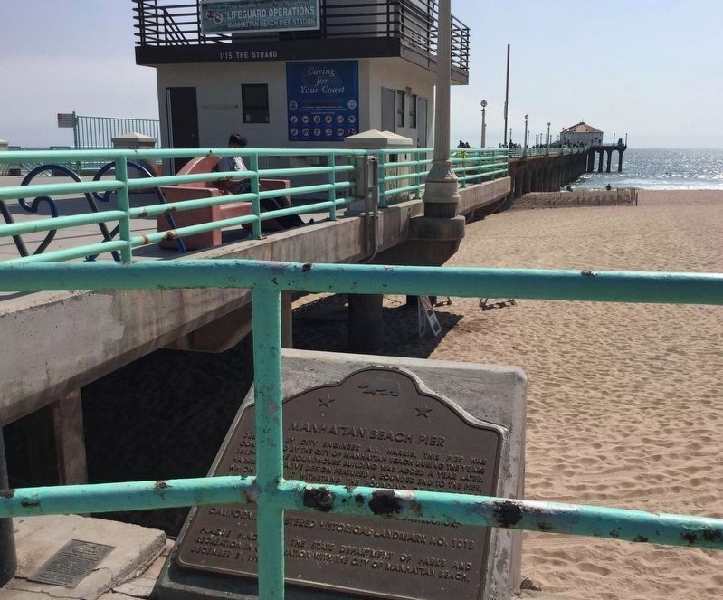
Photographed by Craig Baker, May 23, 2018
2. Manhattan Beach Pier and Marker
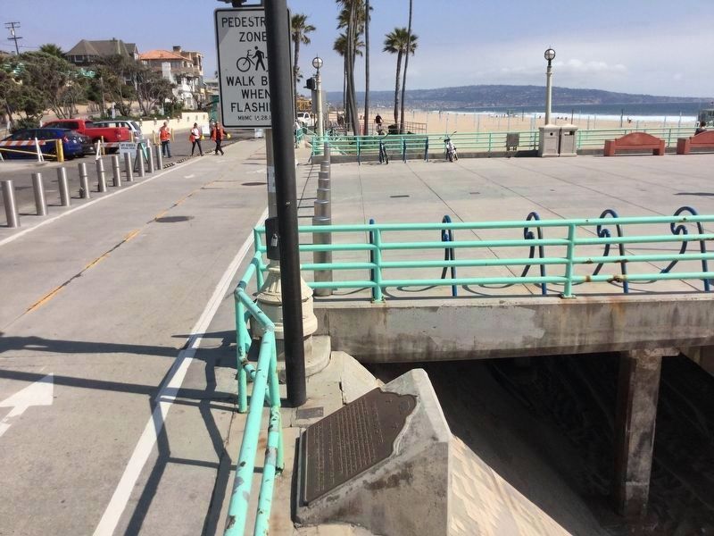
Photographed by Craig Baker, May 23, 2018
3. Manhattan Beach Pier Marker
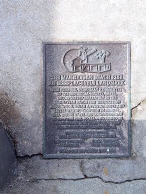
Photographed by Michael Kindig, October 29, 2007
4. Manhattan Beach State Pier
An Irreplaceable Landmark. Pier Pressure, originally a committee of the Historical Society, later incorporated separately as the Manhattan Beach Pier Restoration Association, began a petition drive and letter writing campaign in summer, 1986, asking state and local officials to save the pier. To all who signed or wrote — thank you! Your voices were heard. This pier belongs to you. Flag Pole Dedicated July, 1992.
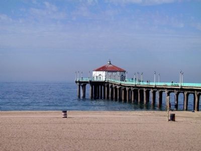
Photographed by Michael Kindig, October 29, 2007
5. Manhattan Beach Pier
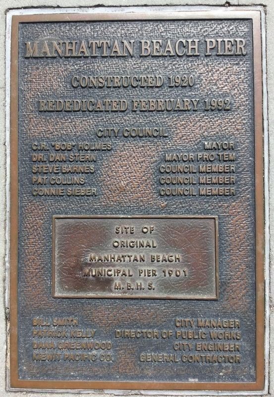
Photographed by Craig Baker, May 23, 2018
6. Another Marker Nearby
Rededicated by the City in 1992. Site of original pier, 1901.
Credits. This page was last revised on June 24, 2024. It was originally submitted on December 27, 2011, by Michael Kindig of Elk Grove, California. This page has been viewed 1,355 times since then and 88 times this year. Last updated on February 27, 2018, by Craig Baker of Sylmar, California. Photos: 1. submitted on December 28, 2011, by Michael Kindig of Elk Grove, California. 2, 3. submitted on May 23, 2018, by Craig Baker of Sylmar, California. 4, 5. submitted on December 28, 2011, by Michael Kindig of Elk Grove, California. 6. submitted on May 23, 2018, by Craig Baker of Sylmar, California. • Andrew Ruppenstein was the editor who published this page.
