
Near Wolf Creek in Josephine County, Oregon — The American West (Northwest)
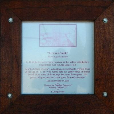
"Grave Creek"
How it got its name
Photographed by Barry Swackhamer, September 27, 2017
1. "Grave Creek" Marker
Martha Leland Crowley, a daughter, succumbed to typhoid fever at the age of 16. She was buried here in a casket made of timber boards from some of the storage boxes on the wagons. Her grave, being so near the creek, gave the creek its name.
Erected 2006 by E Clampus Vitus, Umpqua Joe Fledgling Outpost of Humbug Chapter #73.
Topics and series. This historical marker is listed in these topic lists: Cemeteries & Burial Sites • Roads & Vehicles. In addition, it is included in the Applegate Trail, and the E Clampus Vitus series lists.
Location. 42° 38.035′ N, 123° 22.647′ W. Marker is near Wolf Creek, Oregon, in Josephine County. It can be reached from Sunny Valley Loop near Placer Road (Route 34-5-10), on the right when traveling north. Touch for map. Marker is at or near this postal address: 500 Sunny Valley Loop, Wolf Creek OR 97497, United States of America. Touch for directions.

Regionally, this marker is in Southern Oregon. It is also on the American
this page online
Other nearby markers. At least 8 other markers are within 5 miles of this marker, measured as the crow flies: The Applegate Trail (here, next to this marker); Applegate Trail - Grave Creek (about 600 feet away, measured in a direct line); Grave Creek Ranch (about 800 feet away); Golden (approx. 4.1 miles away); GOLD! (approx. 4.1 miles away); Wolf Creek Tavern (approx. 4.3 miles away); Feeble, Hungry, and Haggard (approx. 4.3 miles away); Early Traveler Accommodations (approx. 4.3 miles away). Touch for a list and map of all markers in Wolf Creek.
Another marker is no longer nearby. The Applegate Trail (was about 800 feet away but has been confirmed missing).
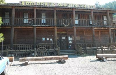
More about this marker. The marker is located at the Applegate Train Interpretive Center.
Photographed by Barry Swackhamer, September 27, 2017
2. "Grave Creek" Marker
The marker is to the left of the entrance.
Photographed by Unknown
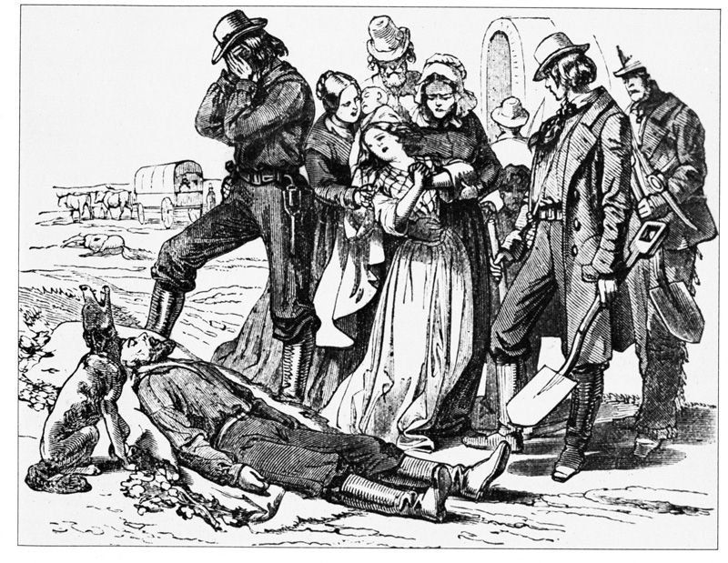
3. Death on the Trail
Credits. This page was last revised on February 28, 2018. It was originally submitted on February 28, 2018, by Barry Swackhamer of Brentwood, California. This page has been viewed 1,064 times since then and 56 times this year. Photos: 1, 2, 3. submitted on February 28, 2018, by Barry Swackhamer of Brentwood, California.
