
Memphis in Shelby County, Tennessee — The American South (East South Central)
Ohio River
Photographed by Sandra Hughes, May 18, 2010
1. Ohio River Marker
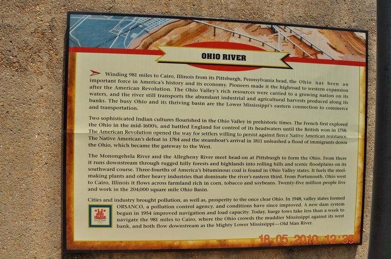
Winding 981 miles to Cairo, Illinois from its Pittsburgh, Pennsylvania head, the Ohio has been an important force in America’s history and its economy. Pioneers made it the highroad to western expansion after the American Revolution. The Ohio Valley’s rich resources were carried to a growing nation on its waters, and the river still transports the abundant industrial and agricultural harvests produced along its banks. The busy Ohio and its thriving basin are the Lower Mississippi’s eastern connection to commerce and transportation.
Two sophisticated Indian cultures flourished in the Ohio Valley in prehistoric times. The French first explored the Ohio in the mid-1600’s and battled England for control of its headwaters until the British won in 1758. The American Revolution opened the way for settlers willing to persist against fierce Native American resistance. The Native American’s defeat in 1784 and the steamboat’s arrival in 1811 unleashed a flood of immigrants down the Ohio, which became the gateway to the West.
The Monongahela River and the Allegheny River meet head-on at Pittsburgh to form the Ohio. From there
this page online
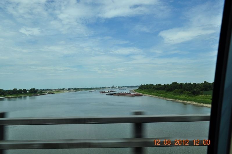
Cities and industry brought pollution, as well as, prosperity to the once clear Ohio. In 1948, valley states formed ORSANCO, a pollution control agency, and conditions have since improved. A new dam system begun in 1954 improved navigation and load capacity. Today, barge tows take less than a week to navigate the 981 miles to Cairo, where the Ohio crowds the muddier Mississippi against its west bank, and both flow downstream as the Mighty Lower Mississippi — Old Man River.
Erected by Mud Island River Park.
Topics. This historical marker is listed in these topic lists: Indigenous Peoples and Communities • Settlements & Settlers
Photographed by Sandra Hughes, May 18, 2010
2. Ohio River Marker
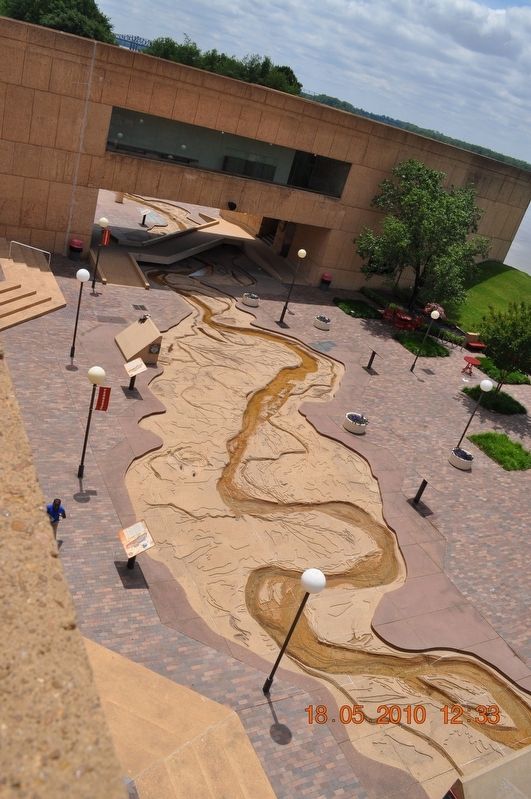
Location. 35° 8.968′ N, 90° 3.507′ W. Marker is in Memphis, Tennessee, in Shelby County. It can be reached from Island Drive 0.8 miles south of West A.W. Willis Avenue when traveling south. Located in Mud Island River Park. Touch for map. Marker is at or near this postal address: 125 N Front Street, Memphis TN 38103, United States of America. Touch for directions.

Regionally, this marker is in West Tennessee. It is also in the American South, specifically in the Deep South, in the Upper South, in the Mississippi Delta, and in the Great River Road Region. Globally, it is in North America, the Western Hemisphere, the Western World, and the Anglosphere. Historically, it finds itself in what was once the territory of the Mississippian Culture, one of the Confederate States of America, and the Antebellum South.
Other nearby markers. At least 8 other markers are within walking distance of this marker: Island No. 20/Cottonwood Point/Booth Point, Tennessee/Linwood Bend (here, next to this marker); Commercial Barge Traffic
Photographed by Sandra Hughes, August 12, 2012
3. Ohio River
Credits. This page was last revised on March 8, 2018. It was originally submitted on March 8, 2018, by Sandra Hughes Tidwell of Killen, Alabama, USA. This page has been viewed 429 times since then and 13 times this year. Photos: 1, 2, 3. submitted on March 8, 2018, by Sandra Hughes Tidwell of Killen, Alabama, USA. • Bernard Fisher was the editor who published this page.
