North Fork in Orient in Suffolk County, New York — The American Northeast (Mid-Atlantic)
Poquatuck Park
Photographed by Cosmos Mariner, June 9, 2017
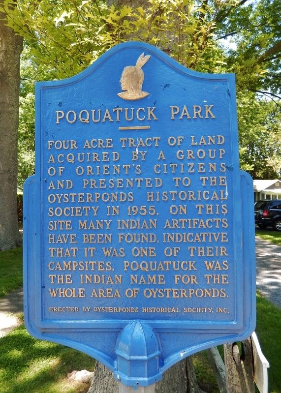
1. Poquatuck Park Marker
Four acre tract of land acquired by a group of Orient's citizens and presented to the Oysterponds Historical Society in 1955. On this site many Indian artifacts have been found, indicative that it was one of their campsites. Poquatuck was the Indian name for the whole area of Oysterponds.
Erected by Oysterponds Historical Society, Inc.
Topics. This historical marker is listed in these topic lists: Indigenous Peoples and Communities • Parks & Recreational Areas. A significant historical year for this entry is 1955.
Location. 41° 8.327′ N, 72° 18.219′ W. Marker is in Orient, New York, in Suffolk County. It is in North Fork. It is on Village Lane south of Orchard Street, on the right when traveling south. Marker is located on right side of Village Lane entrance to Poquatuck Park. Touch for map. Marker is at or near this postal address: 1440 Village Lane, Orient NY 11957, United States of America. Touch for directions.

Regionally, this marker is in the New York City Metropolitan Area and on Long Island. It is also in the American Northeast, in the Mid-Atlantic, and on the Eastern Seaboard. Globally, it is in
this page online
Other nearby markers. At least 8 other markers are within 2 miles of this marker, measured as the crow flies: Webb House (a few steps from this marker); The Methodist Church (within shouting distance of this marker); Orient WWII Memorial (about 300 feet away, measured in a direct line); Orient Point Schoolhouse (about 300 feet away); Orient WWI Memorial (about 800 feet away); Slaves Burying Ground (approx. 0.7 miles away); Trumans Beach (approx. 0.8 miles away); Peaken's Tavern (approx. 1.7 miles away). Touch for a list and map of all markers in Orient.
Also see . . .
1. Orient, NY.
Orient is the eastern-most town on Long Island's picturesque North Fork. It was originally named Poquatuck, after the name of the local Native American tribe that resided along the inland waterways, then named Oyster Ponds because of the nearby oyster beds. Orient and East Marion were originally called Oysterponds because
Photographed by Cosmos Mariner, June 9, 2017
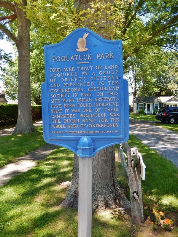
2. Poquatuck Park Marker (tall view)
2. Orient’s Treasure On the Edge of the Sea.
There’s little record left of the Poquatuck Indians of Orient, except for a fisherman’s tribute carved into the rocks on the Long Island Sound shore in the 1930s, and even that record appears to be fading as time and storms weather the rocks. (Submitted on March 9, 2018, by Cosmos Mariner of Cape Canaveral, Florida.)
Photographed by Cosmos Mariner, June 9, 2017
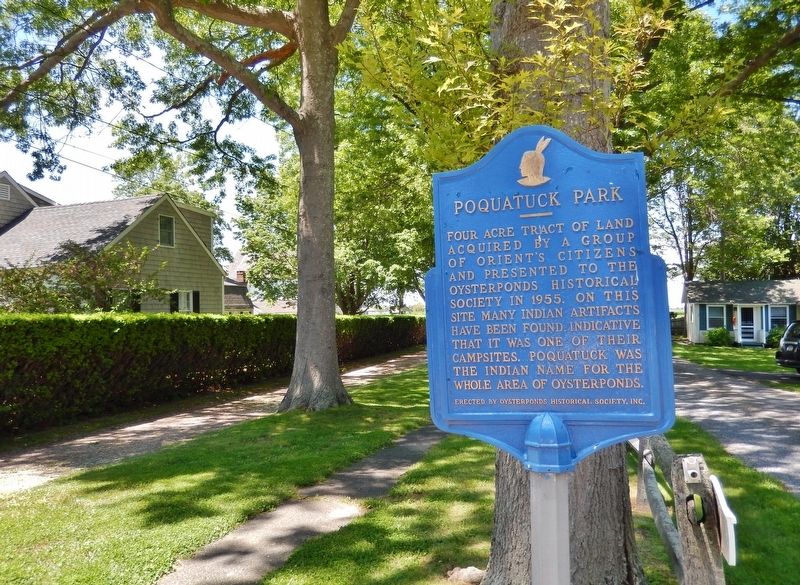
3. Poquatuck Park Marker (wide view)
Photographed by Alexander Erwin, June 14, 2021
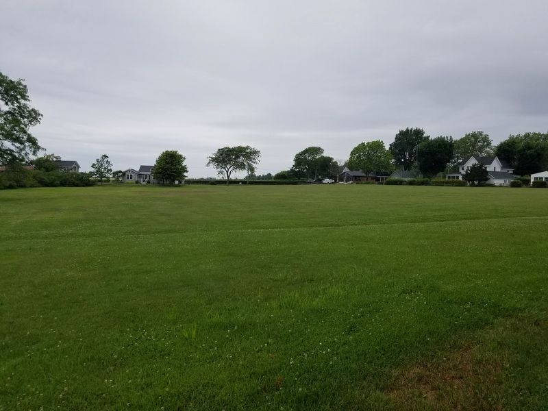
4. Poquatuck Park
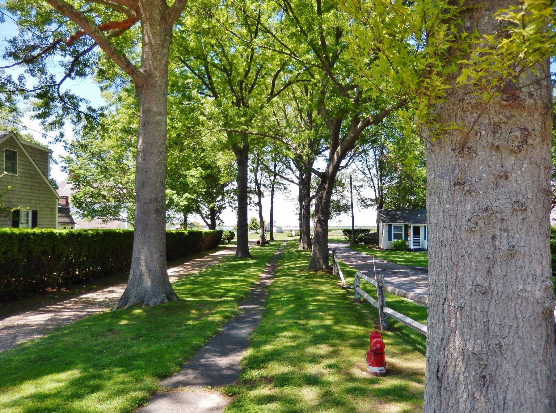
Photographed by Cosmos Mariner, June 9, 2017
5. Poquatuck Park (view into park from marker)
Credits. This page was last revised on December 27, 2024. It was originally submitted on March 9, 2018, by Cosmos Mariner of Cape Canaveral, Florida. This page has been viewed 627 times since then and 29 times this year. Photos: 1, 2, 3. submitted on March 9, 2018, by Cosmos Mariner of Cape Canaveral, Florida. 4. submitted on June 15, 2021, by Alexander Erwin of East Patchogue, New York. 5. submitted on March 9, 2018, by Cosmos Mariner of Cape Canaveral, Florida. • Andrew Ruppenstein was the editor who published this page.
