Rodanthe in Dare County, North Carolina — The American South (South Atlantic)
The Chicamacomico Races
⎯⎯⎯
Exodus from Chicamacomico
Photographed by Kevin W., June 23, 2009
1. The Chicamacomico Races Marker
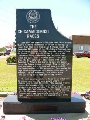
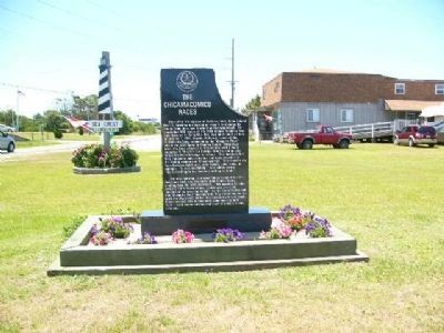
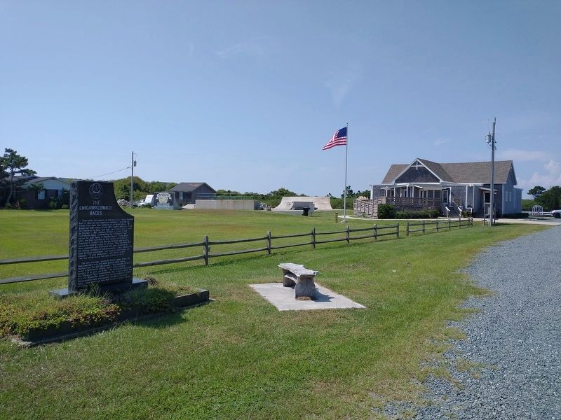
Soon after the capture of Hatteras Inlet, Union Colonel Rush C. Hawkins anticipated an assault to dislodge his troops from their new foothold on Hatteras Island. He dispatched 600 troops of the 20th Indiana Regiment from Fort Hatteras to Camp Live Oak, two miles south of here. On October 1, 1861, Captain William A. Lynch of the Confederate Navy, commanding the "Mosquito Fleet," seized the USS Fanny in Pamlico Sound. Three days later, the fleet returned to this vicinity with Colonel Augustus R. Wright's 3rd Georgia Infantry and quickly forced the Federal troops to retreat. They hurriedly left their equipment and provisions and were preceded by the fleeing residents of Chicamacomico. They reached the Cape Hatteras Lighthouse, over twenty miles away, at midnight. "It was maddening." one soldier wrote, "the sea rolling to our feet and nothing to drink."
The next morning, reinforced Union troops drove the Georgians back over the same ground under heavy shelling from the USS Monticello. "We marched 16 miles," wrote a Confederate officer, "and it was a miracle numbers of us were not killed." As the
this page online
Exodus from Chicamacomico
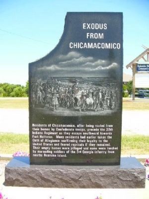
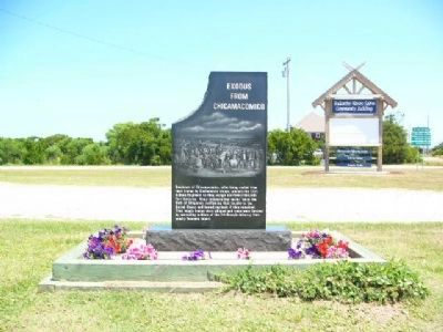
Residents of Chicamacomico, after being routed from their homes by Confederate troops, precede the 20th Indiana Regiment as they escape southward towards Fort Hatteras. Many residents had earlier taken the Oath of Allegiance reaffirming their loyalty to the United States and feared reprisals if they remained. Their empty houses were pillaged and some were torched by marauding soldiers of the 3rd Georgia Infantry from nearby Roanoke Island.
Erected by Dare County Tourism Board.
Topics. This historical marker is listed in these topic lists: War, US Civil • Waterways & Vessels. A significant historical date for this entry is October 1, 1861.
Location. 35° 35.738′ N, 75° 28.074′ W. Marker is in Rodanthe, North Carolina, in Dare County. It is at the intersection of State Highway 12 and Myrna Peters Road on State Highway 12. Touch for map. Marker is at or near this postal
Photographed by Kevin W., June 23, 2009
2. Exodus from Chicamacomico Marker

Regionally, this marker is in the Coastal Plain and on the Outer Banks. It is also in the American South, specifically in the Upper South, in the Tidewater, and on the Eastern Seaboard. Globally, it is in the North Atlantic Region, North America, the Western Hemisphere, the Western World, and the Anglosphere. Historically, it finds itself in what was once the territory of the Mississippian Culture, one of the original Thirteen Colonies, one of the Confederate States of America, and the Antebellum South.
Other nearby markers. At least 8 other markers are within 9 miles of this marker, measured as the crow flies: Welcome to Rodanthe... (within shouting distance of this marker); "Mirlo" Rescue (within shouting distance of this marker); Chicamacomico Life-Saving Station (within shouting distance of this marker); a different marker also named Mirlo Rescue (approx. half a mile away); Welcome to Waves… (approx. 1.8 miles away); Welcome to Salvo… (approx. 3½ miles away); A Deep-Rooted Community (approx. 4.3 miles away); Charles Kuralt Trail
Photographed by Kevin W., June 23, 2009
3. The Chicamacomico Races Marker
Another marker is no longer nearby. The Fanny (was approx. 4.3 miles away but has been confirmed missing).
Photographed by Kevin W., June 23, 2009
4. Exodus from Chicamacomico Marker
Photographed by Tom Bosse, September 19, 2021
5. The Chicamacomico Races / Exodus from Chicamacomico Marker
Credits. This page was last revised on September 24, 2021. It was originally submitted on September 15, 2008, by Kevin W. of Stafford, Virginia. This page has been viewed 2,370 times since then and 43 times this year. Photos: 1, 2, 3, 4. submitted on July 1, 2009, by Kevin W. of Stafford, Virginia. 5. submitted on September 24, 2021, by Tom Bosse of Jefferson City, Tennessee.
