San Antón in Santo Domingo, Distrito Nacional, Dominican Republic — Caribbean Region of the Americas (Hispaniola, Greater Antilles, West Indies)
Monument of the San Francisco Ruins
Photographed by J. Makali Bruton, March 10, 2018
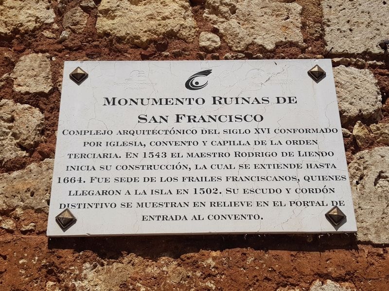
1. Monument of the San Francisco Ruins Marker

Complejo arquitectónico del siglo XVI conformado por iglesia, convento y capilla de la Orden Terciaria. En 1543 el maestro Rodrigo de Liendo inicia su construcción, la cual se extiende hasta 1664. Fue sede de los frailes franciscanos, quienes llegaron a la isla en 1502. Su escudo y cordón distintivo se muestran en relieve en el portal de entrada al convento.
Monument of the San Francisco Ruins
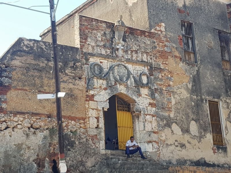
Architectonic complex from the 16th century, made up of a church, convent and chapel of the Franciscan Third Order. In 1543 the master builder Rodrigo de Liendo began its construction, which would last until 1664. It was the headquarters for Franciscan friars, who arrived to the island in 1502. Their coat of arms and distinctive cord can be seen in the relief of the convent’s entry portal.
Erected by Ministerio de Cultura.
Topics. This historical marker is listed in these topic lists: Anthropology & Archaeology • Architecture • Colonial Era • Religion & Religious Structures. A significant historical year for this entry is 1543.
Location. 18° 28.606′ N, 69° 53.131′ W.
this page online

Regionally, it is one of the Greater Antilles on the Caribbean Sea, on in the Atlantic Ocean, in North America, and in the Western Hemisphere. Historically, it finds itself in what was once New Spain and also a Spanish colony.
Other nearby markers. At least 8 other markers are within walking distance of this marker: House of Marcelo de Villalobos (within shouting distance of this marker); The House of the Five Medallions (about 90 meters away, measured in a direct line); Dominican Resistance to the US Invasion of 1965 (about 150 meters away); Casa del Cordón (about 150 meters away); The Hermitage of Saint Anton (about 150 meters away); 16th Century House (about 150 meters away); a different marker also named Casa del Cordón (about 150 meters away); Plaza de los Contadores (about 150 meters away). Touch for a list and map of all markers
Photographed by J. Makali Bruton, March 10, 2018
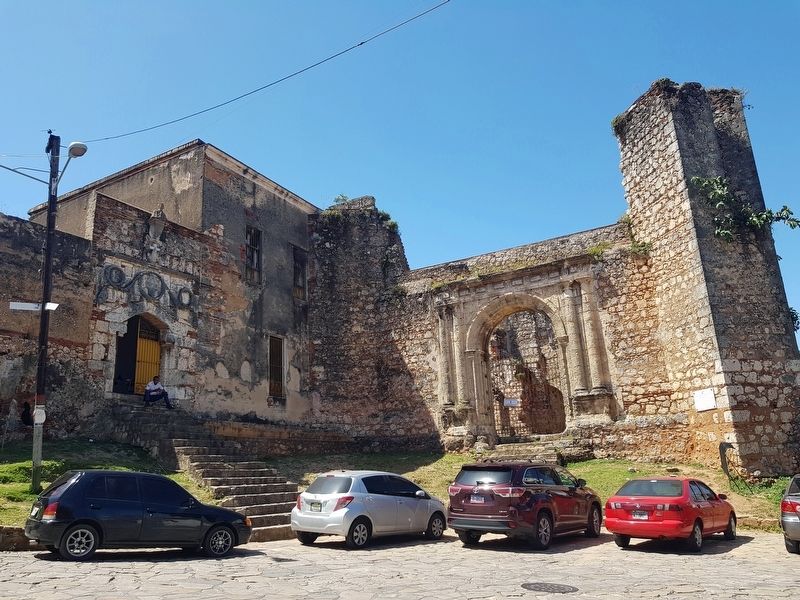
2. Monument of the San Francisco Ruins Marker
The marker is to the right in this view of the complex.
Photographed by J. Makali Bruton, March 10, 2018
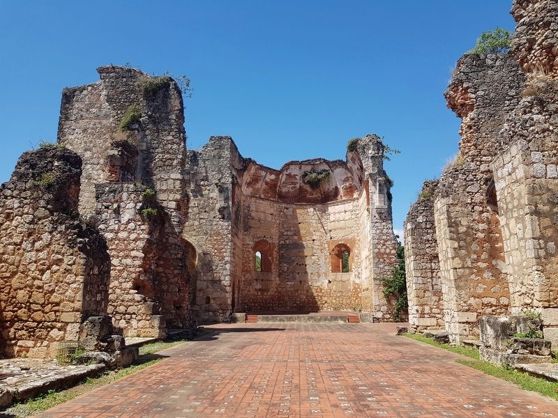
3. The remains of the church at the San Francisco Ruins
Photographed by J. Makali Bruton, March 10, 2018
4. The Franciscan coat of arms and cord over the convent's entry portal
Credits. This page was last revised on July 28, 2023. It was originally submitted on March 11, 2018, by J. Makali Bruton of Washington, District of Columbia. This page has been viewed 354 times since then and 20 times this year. Photos: 1, 2, 3, 4. submitted on March 11, 2018, by J. Makali Bruton of Washington, District of Columbia.
