Memphis in Shelby County, Tennessee — The American South (East South Central)
Belle Chasse, Louisiana/English Turn Bend/Caernarvon Crevasse/Poydras Crevasse
Mississippi River Walk
Photographed by Jason Voigt, August 2, 2024
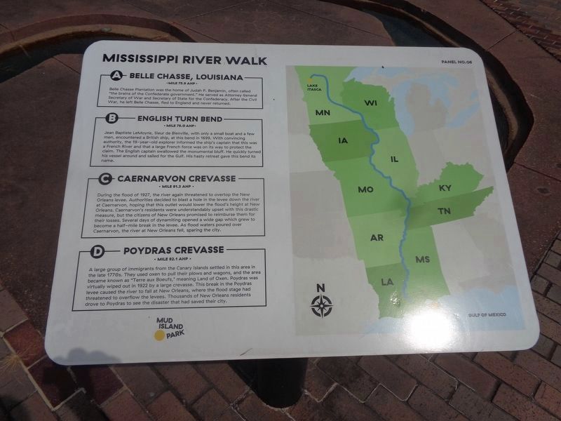
1. Belle Chasse, Louisiana/English Turn Bend/Caernarvon Crevasse/Poydras Crevasse Marker
Marker was replaced with a newer one put up by Mud Island Park.
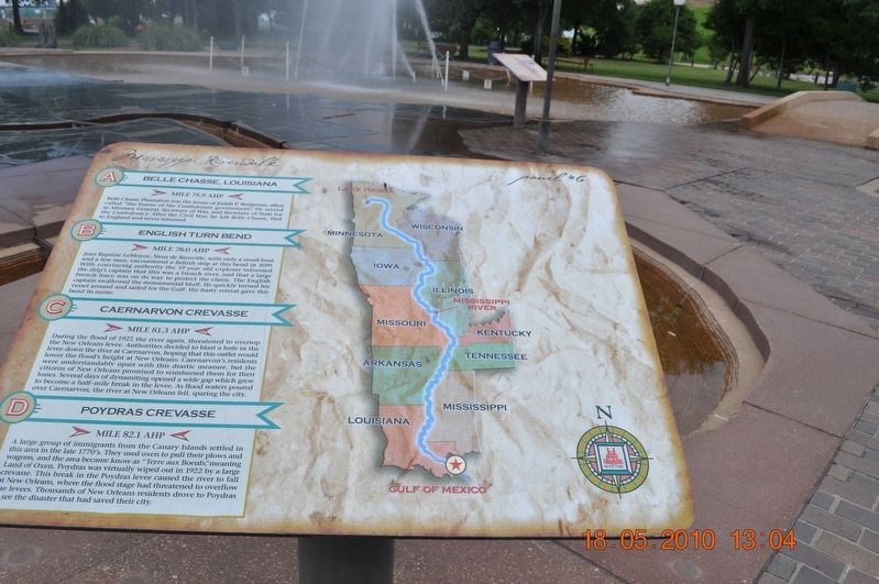
A) Belle Chasse, Louisiana
Mile 75.9 AHP
Belle Chasse Plantation was the home of Judah P. Benjamin, often called “the brains of the Confederate government.” He served as Attorney General Secretary of War and Secretary of State for the Confederacy. After the Civil War, he left Belle Chasse, fled to England and never returned.
B) English Turn Bend
Mile 78.0 AHP
Jean Baptiste LeMoyne, Sieur de Bienville, with only a small boat and a few men, encountered a British ship, at this bend in 1699. With convincing authority, the 19-year-old explorer informed the ship’s captain that this was a French River and that a large French force was units way to protect the claim. The English captain swallowed the monumental bluff. He quickly turned his vessel around and sailed for the Gulf. His hasty retreat gave this bend its name.
C) Caernarvon Crevasse
Mile 81.3 AHP
During the flood of 1927, the river again threatened to overtop the New Orleans levee. Authorities decided to blast a hole in the levee down the river at Caernarvon, hoping that this outlet would lower the flood’s height at New Orleans. Caernarvon’s residents
this page online
D) Poydras Crevasse
Mile 82.1 AHP
A large group of an immigrant from the Canary Islands settled in this area in the late 1770’s. They used oxen to pull their plows and wagons, and the area became known as “Terre aux Boeufs," meaning Land of Oxen. Poydras was virtually wiped out in 1922 by a large crevasse. This break in the Poydras levee caused the river to fall at New Orleans, where the flood stage had threatened to overflow the levees. Thousands of New Orleans residents drove to Poydras to see the disaster that had saved their city.
Erected by Mississippi Riverwalk. (Marker Number 6.)
Topics. This historical marker is listed in these topic lists: Disasters • Settlements & Settlers • War, US Civil • Waterways & Vessels. A significant historical year for this entry is 1699.
Location. 35° 8.777′ N, 90° 3.528′ W.
Photographed by Sandra Hughes, May 18, 2010
2. Belle Chasse, Louisiana/English Turn Bend/Caernarvon Crevasse/Poydras Crevasse Marker

Regionally, this marker is in West Tennessee. It is also in the American South, specifically in the Deep South, in the Upper South, in the Mississippi Delta, and in the Great River Road Region. Globally, it is in North America, the Western Hemisphere, the Western World, and the Anglosphere. Historically, it finds itself in what was once the territory of the Mississippian Culture, one of the Confederate States of America, and the Antebellum South.
Other nearby markers. At least 8 other markers are within walking distance of this marker: The Battle of New Orleans (a few steps from this marker); Junior Crevasse/Poverty Point, Louisiana/Jesuits Bend (a few steps from this marker); New Orleans, Louisiana (a few steps from this marker); Point a La Hache, Louisiana/ Magnolia Plantation, Louisiana (a few steps from
Photographed by Jason Voigt, August 2, 2024
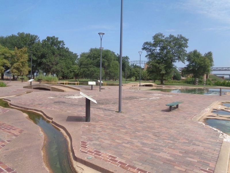
3. Belle Chasse, Louisiana/English Turn Bend/Caernarvon Crevasse/Poydras Crevasse Marker
Marker is in the back by the footbridge
Credits. This page was last revised on August 14, 2024. It was originally submitted on March 12, 2018, by Sandra Hughes Tidwell of Killen, Alabama, USA. This page has been viewed 915 times since then and 96 times this year. Photos: 1. submitted on August 14, 2024, by Jason Voigt of Glen Carbon, Illinois. 2. submitted on March 12, 2018, by Sandra Hughes Tidwell of Killen, Alabama, USA. 3. submitted on August 14, 2024, by Jason Voigt of Glen Carbon, Illinois. • Bernard Fisher was the editor who published this page.
