Memphis in Shelby County, Tennessee — The American South (East South Central)
Port Hudson, Louisiana/Fausse River Cutoff
Mississippi River Walk
Photographed by Jason Voigt, August 2, 2024
1. Port Hudson, Louisiana/Fausse River Cutoff Marker
Marker was replaced by one put up by Mud Island Park.
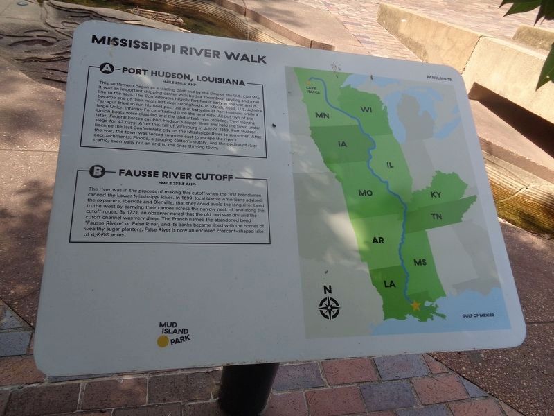
A) Port Hudson, Louisiana
Mile 256.0 AHP
This settlement began as a trading post and by the time of the U.S. Civil War, it was an important shipping center with both a steamboat landing and a rail line to the east. The Confederates heavily fortified it early in the war and it became one of their mightiest river strongholds. In March 1863, U. S. Admiral Farragut tried to run his fleet past the gun batteries at Port Hudson, while a large Union Infantry Force attacked it on the land side. All but two of the Union boats were disabled and the land attack was repelled. Two months later, Federal Forces cut Port Hudson’s supply lines and held the town under siege for 43 days. After the fall of Vicksburg in July 1863, Port Hudson became the last Confederate city on the Mississippi River to surrender. After the war, the town was forced to move east to escape the river’s encroachments. Floods, a sagging cotton industry, and the decline of river traffic, eventually put an end to the once thriving town.
B) Fausse River Cutoff
Mile 258.5 AHP
The river was the process of making this cutoff when the first Frenchmen canoed
this page online
Erected by Mississippi River Walk. (Marker Number 19.)
Topics. This historical marker is listed in these topic lists: Indigenous Peoples and Communities • Settlements & Settlers • War, US Civil • Waterways & Vessels.
Location. 35° 8.806′ N, 90° 3.572′ W. Marker is in Memphis, Tennessee, in Shelby County. It can be reached from Island Drive. Located at Mud Island Park. Touch for map. Marker is at or near this postal address: 25 Island Dr, Memphis TN 38103, United States of America. Touch for directions.

Regionally, this marker is in West

Photographed by Sandra Hughes, May 18, 2010
2. Port Hudson, Louisiana/Fausse River Cutoff Marker
Other nearby markers. At least 8 other markers are within walking distance of this marker: Mulatto Bend/Springfield Bend/Profit Island (a few steps from this marker); St. Maurice, Louisiana/Morganza Floodway (a few steps from this marker); Hog Point, Louisiana/Raccourci Cutoff/Caernarvon Crevasse (a few steps from this marker); Baton Rouge, Louisiana (a few steps from this marker); The Atchafalaya Problem (a few steps from this marker); Plaquemine, Louisiana/Manchac Bend (a few steps from this marker); Fort Adams, Mississippi/Old River Control Structure/Homochitto Cutoff (within shouting distance of this marker); Claiborne Landing / Carville, Louisiana / Belle Grove (within shouting distance of this marker).
Photographed by Jason Voigt, August 2, 2024
3. Port Hudson, Louisiana/Fausse River Cutoff Marker
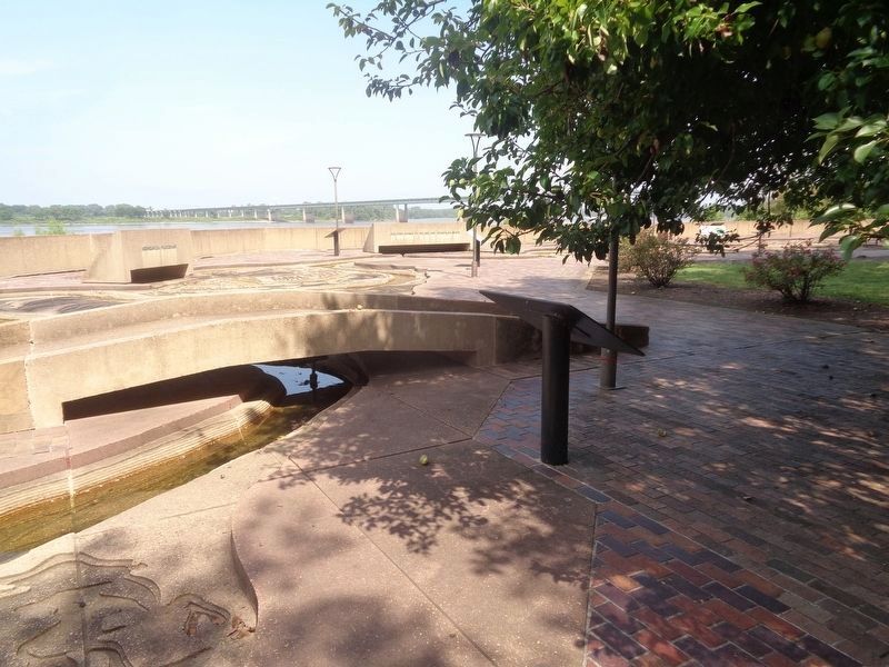
Marker is located at Mud Island Park.
Credits. This page was last revised on September 10, 2024. It was originally submitted on March 14, 2018, by Sandra Hughes Tidwell of Killen, Alabama, USA. This page has been viewed 499 times since then and 44 times this year. Photos: 1. submitted on September 10, 2024, by Jason Voigt of Glen Carbon, Illinois. 2. submitted on March 14, 2018, by Sandra Hughes Tidwell of Killen, Alabama, USA. 3. submitted on September 10, 2024, by Jason Voigt of Glen Carbon, Illinois. • Bernard Fisher was the editor who published this page.
