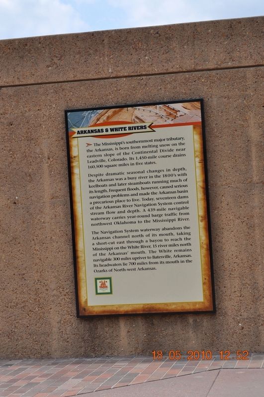
Arkansas & White Rivers
The Mississippi’s southernmost major tributary, the Arkansas, is born from melting snow on the eastern slopes of the Continental Divide near Leadville, Colorado. Its 1,450-mile course drains 160,500 square miles in five states.
Despite dramatic seasonal changes in depth, the Arkansas was a busy river in the 1800’s with keelboats and later steamboats running much of its length Frequent floods, however, caused serious navigation problems and made the Arkansas basin a precarious place to live. Today, seventeen dams of the Arkansas River Navigation System control streamflow and depth. A 439-mile navigable waterway carries year-round barge traffic from northwest Oklahoma to the Mississippi River.
The Navigation System waterway abandons the Arkansas channel north of its mouth, taking a short-cut east through a bayou to reach the Mississippi on the White River, 13 river miles north of Arkansas’s mouth. The White remains navigable 300 miles upriver to Batesville, Arkansas. Its headwaters lie 700 miles from its mouth in the Ozarks of North-west Arkansas.
Topics. This historical marker is listed in these topic lists: Disasters • Man-Made Features • Waterways & Vessels.
Location. 35° 8.968′ N, 90° 3.507′ W. Marker is in Memphis
Other nearby markers. At least 8 other markers are within walking distance of this marker. The Mississippi Riverwalk (here, next to this marker); Ohio River (here, next to this marker); Cairo, Illinois (here, next to this marker); Islands No. 2, 3, and 4 / Fort Jefferson, Kentucky / Bird’s Point, Missouri (here, next to this marker); Island No. 5 (Wolf Island)/Belmont, Missouri/Columbus, Kentucky (here, next to this marker); Donaldson Point, Missouri/Island No. 8/Hickman, Kentucky/Dorena Crevasse (here, next to this marker); New Madrid, Missouri/Cates Casting Field/Island No. 10 (here, next to this marker); Tiptonville, Tennessee/Bixby Towhead (here, next to this marker). Touch for a list and map of all markers in Memphis.
Also see . . . Continental Divide of the Americas. The Divide crosses into the United States in northwestern Montana, at the boundary between Waterton Lakes National Park and Glacier National Park. In Canada, it forms the western boundary of Waterton Lakes National Park, and in the US bisects Glacier National Park. Further south, the Divide forms the backbone of the Rocky Mountain Front (Front Range) in the Bob Marshall Wilderness, heads south towards Helena and Butte, then west past the namesake community of Divide, Montana through the Anaconda-Pintler Wilderness to the Bitterroot Range, where it forms the eastern third of the state boundary between Idaho and Montana. The Divide crosses into Wyoming within Yellowstone National Park and continues southeast into Colorado where it reaches its highest point in North America at the summit of Grays Peak at 4,352 m (14,278 feet)[citation needed] . It crosses US Hwy 160 in southern Colorado at Wolf Creek Pass, where a line symbolizes the division. The Divide then proceeds south into western New Mexico, passing along the western boundary of the endorheic Plains of San Agustin. Although the Divide represents the height of land between watersheds, it does not always follow the highest ranges/peaks within each state or province. (Submitted on March 14, 2018, by Sandra Hughes Tidwell of Killen, Alabama, USA.)
Credits. This page was last revised on March 17, 2018. It was originally submitted on March 14, 2018, by Sandra Hughes Tidwell of Killen, Alabama, USA. This page has been viewed 240 times since then and 12 times this year. Photo 1. submitted on March 14, 2018, by Sandra Hughes Tidwell of Killen, Alabama, USA. • Bill Pfingsten was the editor who published this page.
