Stillwater in Saratoga County, New York — The American Northeast (Mid-Atlantic)
The Balcarres Redoubt
Photographed by Bill Coughlin, July 16, 2013
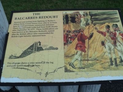
1. The Balcarres Redoubt Marker
Stunned and reeling from fighting in Barber’s Wheat Field, Crown Forces were able to re-form here behind previously constructed defenses. These log-and-earth walls had been built shortly after September 19, 1777. These fortifications are now known as the Balcarres Redoubt, named after the British officer who commanded the British Light Infantry stationed here.
Erected by Saratoga National Historical Park, National Park Service.
Topics. This historical marker is listed in these topic lists: Notable Events • Notable Places • War, US Revolutionary. A significant historical date for this entry is September 19, 1355.
Location. Marker has been permanently removed. It was located near 43° 0.187′ N, 73° 38.278′ W. Marker was in Stillwater, New York, in Saratoga County. It was on Park Tour Road, on the right when traveling north. Marker is in Saratoga National Historical Park along a walking trail at the Balcarres Redoubt/Freeman Farm stop. Touch for map. Marker was in this post office area: Stillwater NY 12170, United States of America.
We have been informed that this marker is no longer there and will not be replaced. This page is an archival view of what was.
Regionally,
this page online

Other nearby markers. At least 8 other markers are within walking distance of this location: Germans Arrive to Save the Day (here, next to this marker); Battle Favors the Americans (here, next to this marker); Zebulon Bidwell (within shouting distance of this marker); "The rebels fled at every charge deeper still into the woods." (within shouting distance of this marker); Hundreds Killed - and Buried Here (within shouting distance of this marker); “Neither side could boast of driving the other from the field” (within shouting distance of this marker); Rifles, Ravines, and Deep Woods Fighting (about 300 feet away, measured in a direct line); Dug In and Waiting for Help (about 400 feet away). Touch for a list and map of all markers
Photographed by Bill Coughlin, July 16, 2013
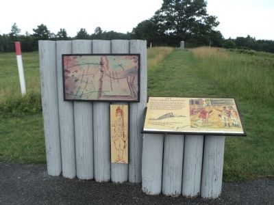
2. Marker on the Saratoga Battlefield
The Balcarres Redoubt was the strongest part of the fortified line that the British constructed between the Hudson River and the Breymann Redoubt after the September 19, 1777 battle.
Other markers no longer nearby. Crown Forces (was within shouting distance of this marker but has been permanently removed); Freeman House (was about 300 feet away but has been permanently removed).
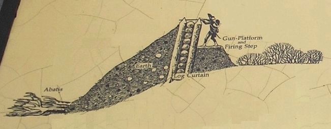
More about this marker. The right side of the marker contains a picture of British troops in the fortifications of the Balcarres Redoubt. To the left is a cross section diagram of the fortification.
Also see . . .
1. Battle of Saratoga. Saratoga County Chamber of Commerce website entry (Submitted on April 4, 2022, by Larry Gertner of New York, New York.)
2. Saratoga National Historical Park. National Park Service. (Submitted on September 15, 2008, by Bill Coughlin of Woodland Park, New Jersey.)
3. A British perspective on the Battle of Saratoga from BritishBattles.com. (Submitted on July 17, 2013, by Bill Coughlin of Woodland Park, New Jersey.)
Photographed by Bill Coughlin, July 16, 2013
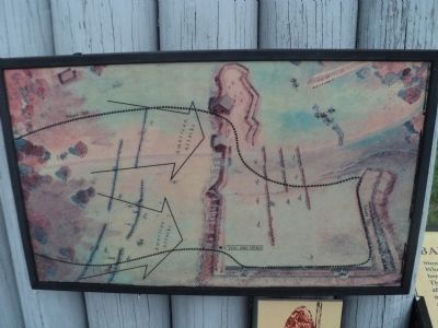
3. Battle Map from Marker
This map shows the marker’s position in the Balcarres Redoubt and the direction of the American attacks.
Photographed by Bill Coughlin, July 16, 2013
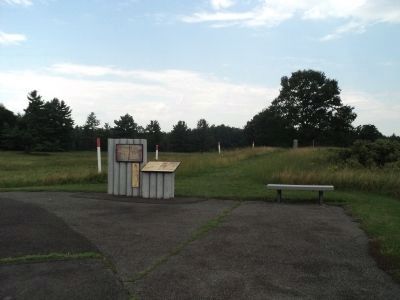
4. The Balcarres Redoubt Marker
Photographed by Bill Coughlin, July 13, 2008
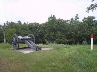
5. British Cannon at the Balcarres Redoubt
The Balcarres Redoubt was fortified with artillery such as this cannon found near the marker. The red-topped poles indicate the location of the fortification walls.
Photographed by Bill Coughlin, July 16, 2013
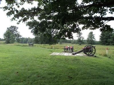
6. Balcarres Redoubt Artillery
Photographed by Bill Coughlin, July 13, 2008
7. Fortification Diagram from Marker
Photographed by Bill Coughlin, October 9, 2010
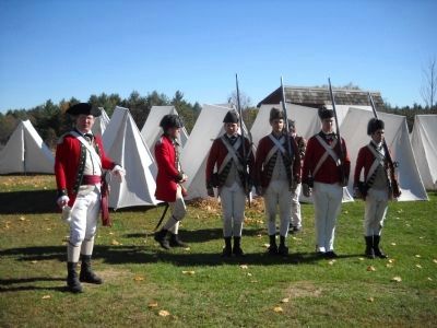
8. British Troops at the Balcarres Redoubt
Members of Gen. Burgoyne's army encamp at the Balcarres Redoubt on the 233rd anniversary of the Battle of Saratoga.
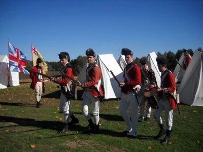
Photographed by Bill Coughlin, October 9, 2010
9. Bayonette Charge by the Crown Forces
British Troops drill at the Balcarres Redoubt during the Battle of Saratoga reenactment.
Credits. This page was last revised on August 11, 2024. It was originally submitted on September 15, 2008, by Bill Coughlin of Woodland Park, New Jersey. This page has been viewed 3,055 times since then and 107 times this year. Photos: 1, 2, 3, 4. submitted on July 17, 2013, by Bill Coughlin of Woodland Park, New Jersey. 5. submitted on September 15, 2008, by Bill Coughlin of Woodland Park, New Jersey. 6. submitted on July 17, 2013, by Bill Coughlin of Woodland Park, New Jersey. 7. submitted on September 15, 2008, by Bill Coughlin of Woodland Park, New Jersey. 8, 9. submitted on July 19, 2013, by Bill Coughlin of Woodland Park, New Jersey.
