Pearblossom in Los Angeles County, California — The American West (Pacific Coastal)
The Devil's Punchbowl
Department of Parks & Recreation, County of Los Angeles
Photographed by Craig Baker, October 1, 2020
1. The Devil's Punchbowl Marker
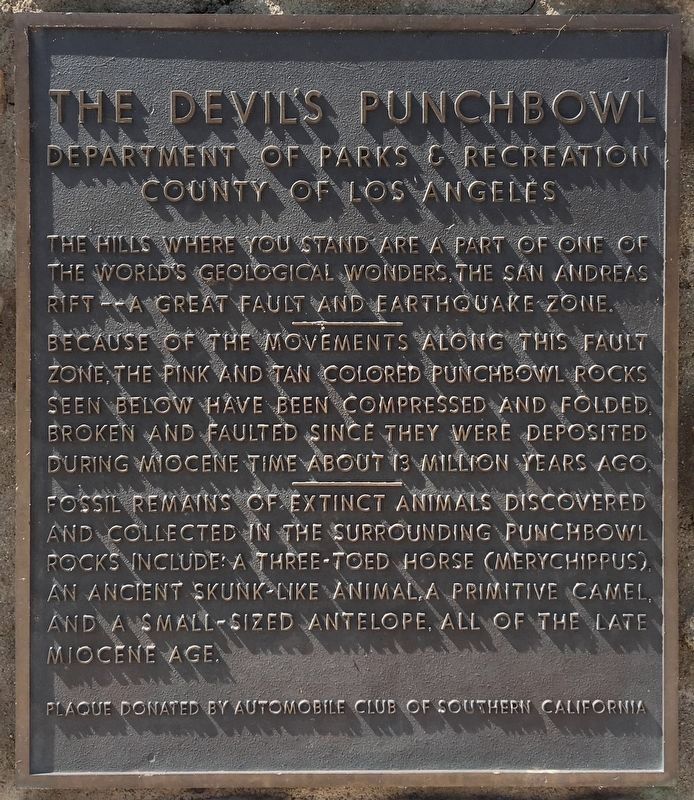
The hills where you stand are a part of one of the world's geological wonders, The San Andreas Rift - A great fault and earthquake zone.
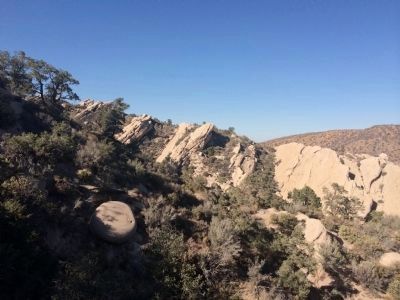
Because of the movements along this fault zone, the pink and tan colored Punchbowl rocks seen below have been compressed and folded, broken and faulted since they were deposited during Miocene time about 13 million years ago.
Fossil remains of extinct animals discovered and collected in the surrounding Punchbowl rocks include a three-toed horse (Merychippus), an ancient skunk-like animal, a primitive camel, and a small-sized antelope, all of the late Miocene age.
Erected by Automobile Club of Southern California.
Topics. This historical marker is listed in these topic lists: Animals • Environment • Paleontology • Science & Medicine.
Location. 34° 24.832′ N, 117° 51.49′ W. Marker is in Pearblossom, California, in Los Angeles County. It can be reached from County Route N6 8 miles south of Pearblossom Highway. Touch for map. Marker is in this post office area: Pearblossom CA 93553, United States of America.
this page online

Regionally, this marker is in Greater Los Angeles, in the High Desert, and in the Transverse Ranges. It is also on the American Pacific Coast. Globally, it is in North America, on the Ring of Fire, on the Pacific Rim, in the Western Hemisphere, in the Western World, and in the Anglosphere. Historically, it finds itself in what was once New Spain and also Mexico’s Alta California.
Other nearby markers. At least 8 other markers are within 13 miles of this marker, measured as the crow flies: Crystal Lake (approx. 6.3 miles away); Mount Baden-Powell (approx. 6.6 miles away); Chilao Visitor Center (approx. 10.3 miles away); West Fork Ranger Station (approx. 10.4 miles away); Butterfield-Havilah Stagecoach House (approx. 10.7 miles away); D.A.R. Society’s Fiftieth Anniversary (approx. 11.6 miles away); Vetter Mountain Fire Lookout (approx. 12.6 miles away); Jackie Robinson Park (approx. 12.8 miles away).
Additional keywords. Antelope Valley, Mojave Desert, San Gabriel Mountains, Angeles National Forest, Pearblossom
Photographed by Craig Baker, October 1, 2020
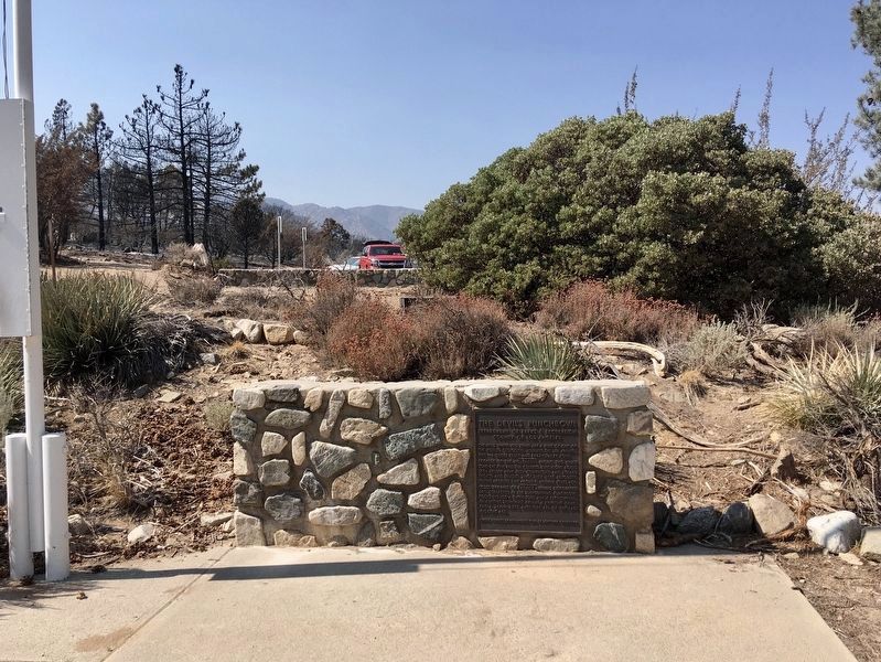
2. The Devil's Punchbowl Marker
Photographed by Adam Margolis, September 28, 2014
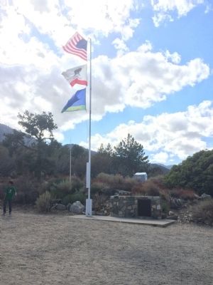
3. The Devil's Punchbowl Marker
Photographed by Adam Margolis, October 18, 2014
4. The Devil's Punchbowl
Photographed by Craig Baker, October 1, 2020
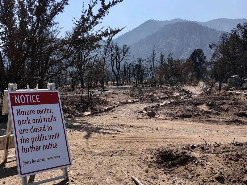
5. Devil's Punchbowl
Temporarily closed after the 2020 Bobcat Fire.
Credits. This page was last revised on July 5, 2024. It was originally submitted on November 25, 2014, by Adam Margolis of Mission Viejo, California. This page has been viewed 1,456 times since then and 69 times this year. Last updated on March 20, 2018, by Craig Baker of Sylmar, California. Photos: 1, 2. submitted on October 20, 2020, by Craig Baker of Sylmar, California. 3, 4. submitted on November 25, 2014, by Adam Margolis of Mission Viejo, California. 5. submitted on October 20, 2020, by Craig Baker of Sylmar, California. • Andrew Ruppenstein was the editor who published this page.
