College Hill in Providence in Providence County, Rhode Island — The American Northeast (New England)
Realizing Providence
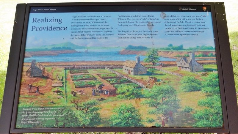
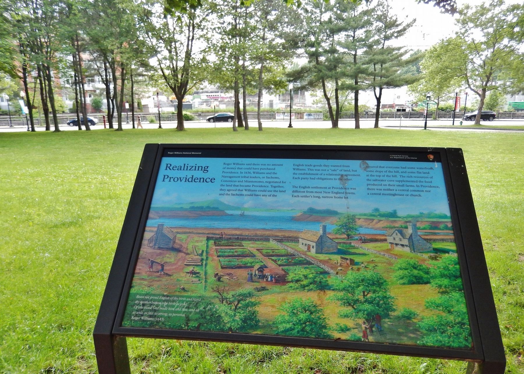
Roger Williams said there was no amount of money that could have purchased Providence. In 1636, Williams and the Narragansett tribal leaders, or Sachems, Cononicus and Miantonomo, negotiated for the land that became Providence. Together, they agreed that Williams could use the land and the Sachems could have any of the English trade goods they wanted from Williams. This was not a "sale" of land, but the establishment of a relationship agreement. Each party had obligations to the other.
The English settlement at Providence was different from most New England towns. Each settler's long, narrow home lot ensured that everyone had some waterfront, some slope of the hill, and some flat land at the top of the hill. The rich resources of the saltwater cove supplemented the food produced on their small farms. In Providence, there was neither a central common nor a central meetinghouse or church.
Boast not proud English of thy birth and blood
thy brother is by birth as good.
Of one blood God made him, and thee, and all
as wise, as fair, as strong, as personal
Roger Williams (1643)
Erected by National Park Service, U.S. Department of the Interior.
Topics. This historical marker is listed in these topic lists: Colonial Era • Native Americans • Settlements & Settlers. A significant historical year for this entry is 1636.
Location. 41° 49.804′ N, 71° 24.62′ W. Marker is in Providence, Rhode Island, in Providence County. It is in College Hill. Marker can be reached from the intersection of North Main Street (U.S. 1) and Bowen Street, on the left when traveling north. Marker is within the Roger Williams National Memorial, along the walking path, west of the North Main Street and Bowen Street intersection. Touch for map. Marker is at or near this postal address: 237 North Main Street, Providence RI 02903, United States of America. Touch for directions.
Other nearby markers. At least 8 other markers are within walking distance of this marker. A Livelie Experiment (within shouting distance of this marker); Site of Roger Williams House (within shouting distance of this marker); Roger Williams Founded Providence Here in 1636 (within shouting distance of this marker); A Shelter for Persons Distressed (within shouting distance of this marker); The Original Water Supply (within shouting distance of this marker); The Wellspring of Providence (within shouting distance of this marker); Roger Williams National Memorial (about 300 feet away, measured in a direct line); Channeling Progress (about 300 feet away). Touch for a list and map of all markers in Providence.
Also see . . .
1. Roger Williams: In Providence.
In order to make decisions in the town, the settlers needed to form a government. Since there was no formal plan, every two weeks the property owners or heads of households would gather together to consider issues. They agreed that the decisions reached by the majority of the heads of households would be the binding decisions for the settlement, but only in civil matters. Matters of religion were left up to the individuals. (Submitted on March 20, 2018, by Cosmos Mariner of Cape Canaveral, Florida.)
2. Roger Williams: Founding Providence.
Roger negotiated a deal for the land that was to become Providence with the Narragansett Sachems Cononicus and Miantonomo. In return for the land, Roger would allow the Sachems to come and take whatever English trade goods they wanted from him. The Narragansett’s made this deal with Roger so they could add one more resource to the area around the Cove: English trade goods. By giving the land to Roger the Narragansett now had close access to these trade goods without having to deal with Boston or Plymouth, English that they trusted far less than Roger. (Submitted on March 20, 2018, by Cosmos Mariner of Cape Canaveral, Florida.)
Credits. This page was last revised on February 8, 2023. It was originally submitted on March 20, 2018, by Cosmos Mariner of Cape Canaveral, Florida. This page has been viewed 176 times since then and 14 times this year. Photos: 1, 2. submitted on March 20, 2018, by Cosmos Mariner of Cape Canaveral, Florida. • Andrew Ruppenstein was the editor who published this page.

