Near Coosa in Floyd County, Georgia — The American South (South Atlantic)
Sardis Presbyterian Church & Cemetery
Photographed by David Tibbs, 2008
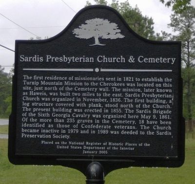
1. Sardis Presbyterian Church & Cemetery Marker
Placed on the National Register of Historic Places of the United States Department of the Interior January 2005
Topics. This historical marker is listed in these topic lists: Cemeteries & Burial Sites • Indigenous Peoples and Communities • Religion & Religious Structures • Settlements & Settlers • War, US Civil. A significant historical date for this entry is May 9, 1861.
Location. 34° 15.931′ N, 85° 22.718′ W. Marker is near Coosa,
this page online

Regionally, this marker is in Georgia’s Mountains. It is also in the American South and specifically in the Deep South. Globally, it is in North America, the Western Hemisphere, the Western World, and the Anglosphere. Historically, it finds itself in what was once the original Cherokee Nation, the territory of the Mississippian Culture, one of the original Thirteen Colonies, one of the Confederate States of America, and the Antebellum South.
Other nearby markers. At least 8 other markers are within 11 miles of this marker, measured as the crow flies: Dr. Elizur and Esther Butler, Missionaries to the Cherokees (approx. 1.3 miles away); General Thomas Edwin Greenfield Ransom (approx. 5.9 miles away); Chattooga (approx. 8.1 miles away in Alabama); Berry Schools' Old Mill (approx. 8.4 miles away); Gen. N.B. Forrest Captured Col. A.D. Streight (approx. 9½ miles away in Alabama); Occupation of Gaylesville
Photographed by David Seibert, August 28, 2011
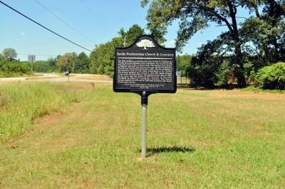
2. Sardis Presbyterian Church & Cemetery Marker
Also see . . . Cemetery Survey List. This goes to a list of know graves located at this cemetery. (Submitted on September 15, 2008, by David Tibbs of Resaca, Georgia.)
Additional commentary.
1. Former Pastor at Sardis Presbyterian Church
My Great Grandfather, Rev. Thaddeus Constantine Crawford, was former pastor for many years at Sardis Presbyterian Church.
— Submitted February 10, 2009, by Agnes Crawford Conway of Rock Hill, South Carolina.
Photographed by David Seibert, August 28, 2011
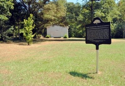
3. Sardis Presbyterian Church & Cemetery Marker
The church is in the distance.
Photographed by David Tibbs, 2008
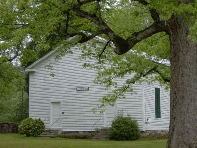
4. Sardis Presbyterian Church
Photographed by David Tibbs, 2008
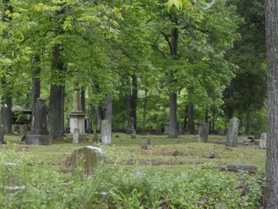
5. Sardis Presbyterian Cemetery
"Of the more than 235 graves in the Cemetery, 18 have been identified as those of Confederate veterans."
Photographed by David Tibbs, 2008
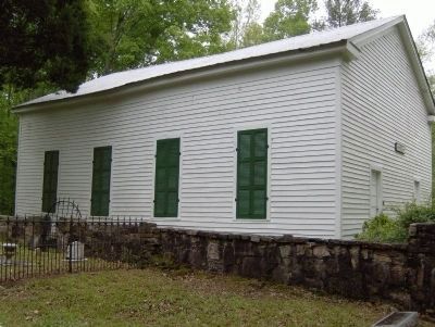
6. Sardis Presbyterian Church & Cemetery
This is a view showing the side of the church near the entrance to the cemetery. Note headstones in the picture.
Photographed by David Seibert, August 28, 2011
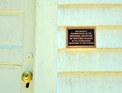
7. Sardis Presbyterian Church
As mentioned on the marker, the church was added to the National Register of Historic Places in 2005. The plaque is adjacent to a front door.
Credits. This page was last revised on October 29, 2024. It was originally submitted on September 15, 2008, by David Tibbs of Resaca, Georgia. This page has been viewed 3,011 times since then and 53 times this year. Last updated on September 16, 2008, by David Seibert of Sandy Springs, Georgia. Photos: 1. submitted on September 15, 2008, by David Tibbs of Resaca, Georgia. 2, 3. submitted on November 25, 2011, by David Seibert of Sandy Springs, Georgia. 4, 5, 6. submitted on September 15, 2008, by David Tibbs of Resaca, Georgia. 7. submitted on November 25, 2011, by David Seibert of Sandy Springs, Georgia. • Kevin W. was the editor who published this page.
