Ridgeland in Madison County, Mississippi — The American South (East South Central)
Old Agency Road
Inscription.
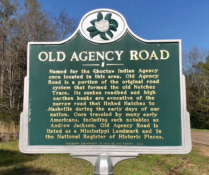
Named for the Choctaw Indian Agency
once located in this area, Old Agency
Road is a portion of the original road
system that formed the old Natchez
Trace. Its sunken roadbed and high
earthen banks are evocative of the
narrow road that linked Natchez to
Nashville during the early days of our
nation. Once traveled by many early
Americans, including such notables as
Andrew Jackson, Old Agency Road is
listed as a Mississippi Landmark and in
the National Register of Historic Places.
Erected 2008 by the Mississippi Department of Archives and History.
Topics and series. This historical marker is listed in these topic lists: Landmarks • Native Americans • Roads & Vehicles. In addition, it is included in the Former U.S. Presidents: #07 Andrew Jackson, the Mississippi State Historical Marker Program, and the Natchez Trace series lists.
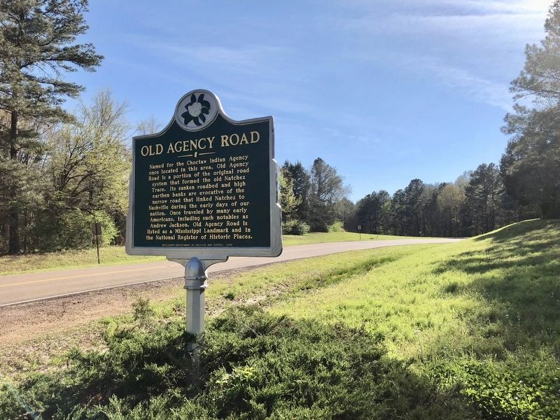
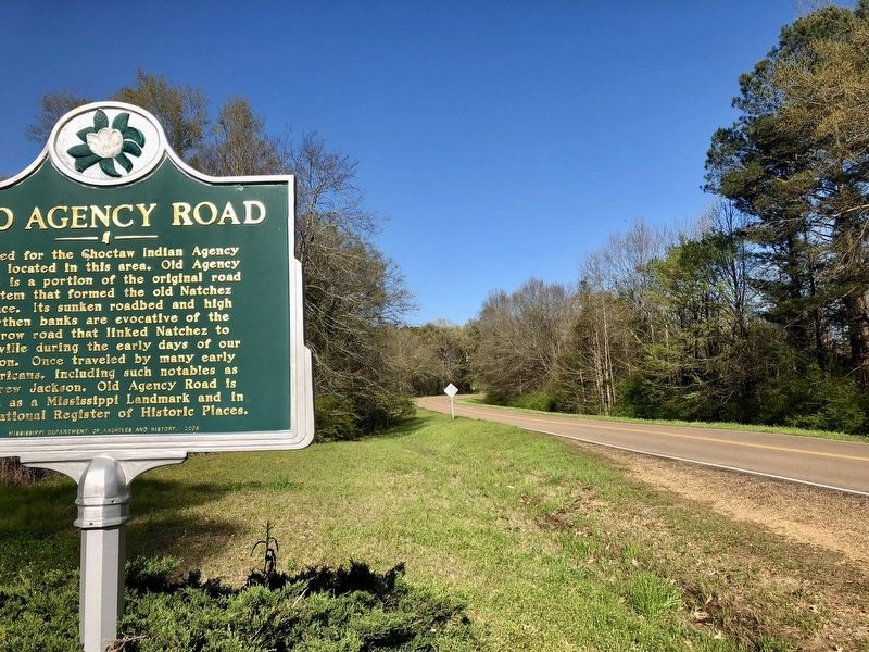
Location. 32° 25.271′ N, 90° 11.922′ W. Marker is in Ridgeland, Mississippi, in Madison County. Marker is on Old Agency Road east of North Livingston Road, on the left when traveling east. Touch for map. Marker is at or near this postal address: 979 Old Agency Road, Ridgeland MS 39157, United States of America. Touch for directions.
Other nearby markers. At least 8 other markers are within 5 miles of this marker, measured as the crow flies . Tougaloo College (approx. 2.6 miles away); a different marker also named Tougaloo College (approx. 2.7 miles away); Choctaw Agency (approx. 2.7 miles away); a different marker also named Old Agency Road (approx. 2.9 miles away); Ridgeland (approx. 3.9 miles away); Osburn Stand (approx. 4 miles away); G.I. Subdivision (approx. 4.6 miles away); Malaco Records (approx. 4.8 miles away). Touch for a list and map of all markers in Ridgeland.
Credits. This page was last revised on March 24, 2018. It was originally submitted on March 24, 2018, by Mark Hilton of Montgomery, Alabama. This page has been viewed 637 times since then and 58 times this year. Photos: 1, 2, 3. submitted on March 24, 2018, by Mark Hilton of Montgomery, Alabama.


