Vicksburg National Military Park in Warren County, Mississippi — The American South (East South Central)
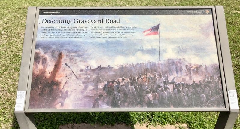
Defending Graveyard Road
On May 19 and 22, about 400 men held this ground against relentless cannon fire and waves of attackers. A 47-day siege followed. Starvation and disease did what the Union assaults could not. This fort and the 30,000-man army defending Vicksburg surrendered July 4, 1863.
Erected by the National Park Service, Department of the Interior.
Topics. This historical marker is listed in these topic lists: Forts and Castles • Roads & Vehicles • War, US Civil. A significant historical date for this entry is May 19, 1863.
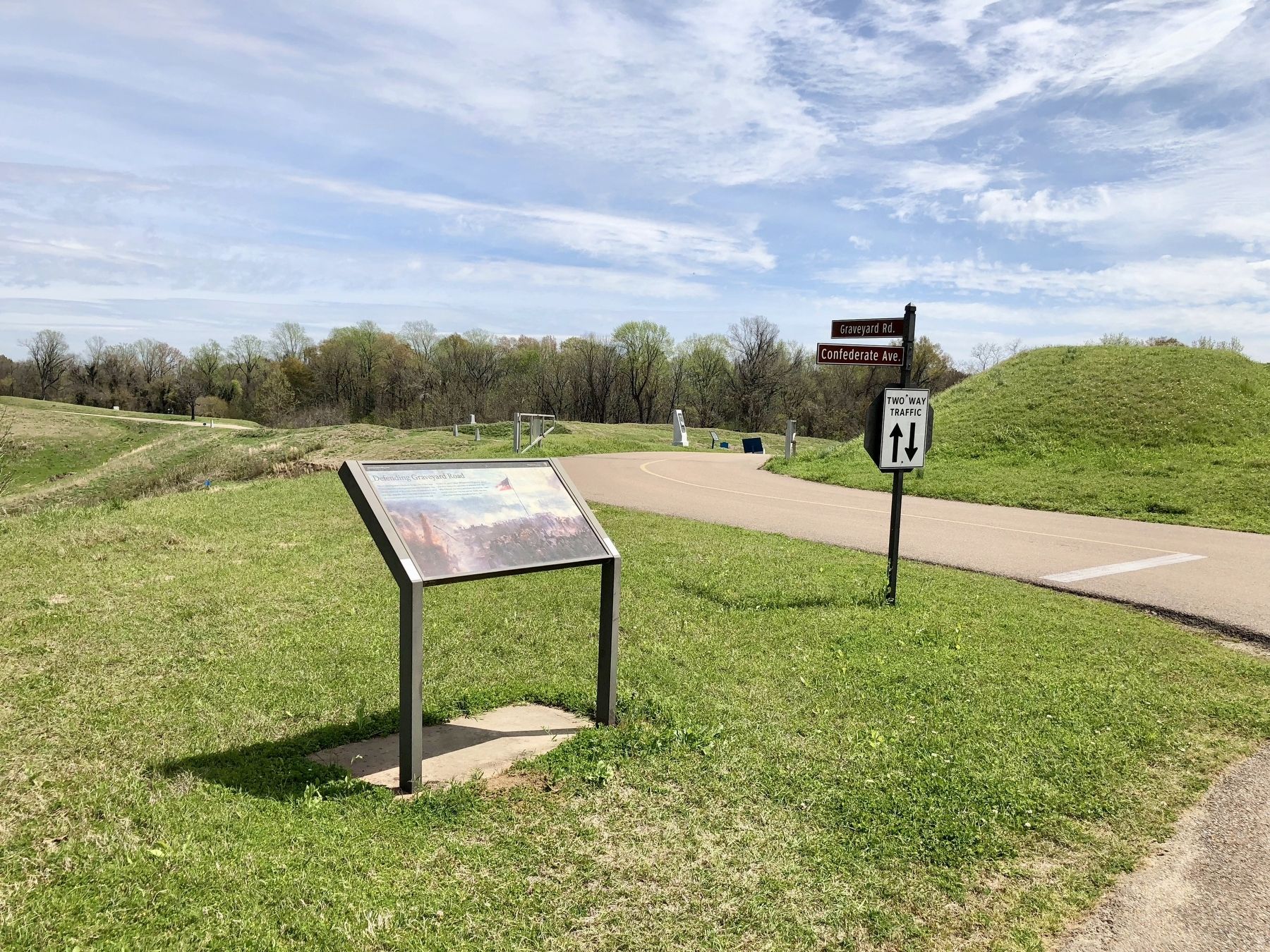
Location. 32° 22.217′ N, 90° 50.696′ W. Marker is in Vicksburg National Military Park, Mississippi, in Warren County. Marker is at the intersection of Confederate Avenue and Graveyard Road, on the left when traveling south on Confederate Avenue. Confederate Avenue is currently closed to vehicles from Fort Hill to Graveyard Road due to road erosion. Touch for map. Marker is at or near this postal address: Confederate Avenue, Vicksburg MS 39183, United States of America. Touch for directions.
Other nearby markers. At least 8 other markers are within walking distance of this marker. Major General John S. Bowen (within shouting distance of this marker); Stockade Redan on Graveyard Road. (within shouting distance of this marker); L.L. Mc Laurin (within shouting distance of this marker); U S Edward C· Washington (within shouting distance of this marker); U.S. Ewing's Approach. (within shouting distance of this marker); U☆S 1st Battalion 13th U.S. Infantry (within shouting distance of this marker); Louisiana 27th Infantry (within shouting distance of this marker); C.S. Appeal (Arkansas) Battery (within shouting distance of this marker). Touch for a list and map of all markers in Vicksburg National Military Park.
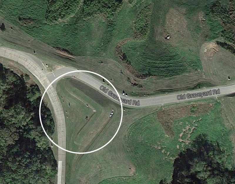
Regarding Defending Graveyard Road. A Redan (French) is a term related to fortifications. It is a work in a V-shaped salient angle towards an expected attack. It can be made from earthworks or other material.
Also see . . . National Park Service Tour Stop # 10. (Submitted on March 25, 2018, by Mark Hilton of Montgomery, Alabama.)
Credits. This page was last revised on March 25, 2018. It was originally submitted on March 25, 2018, by Mark Hilton of Montgomery, Alabama. This page has been viewed 316 times since then and 30 times this year. Photos: 1, 2, 3. submitted on March 25, 2018, by Mark Hilton of Montgomery, Alabama.


