Vicksburg in Warren County, Mississippi — The American South (East South Central)
Railroads and Rivers
| — | Vicksburg Heritage Walking Trail | — |
Photographed by Mark Hilton, March 23, 2018
1. Railroads and Rivers Marker
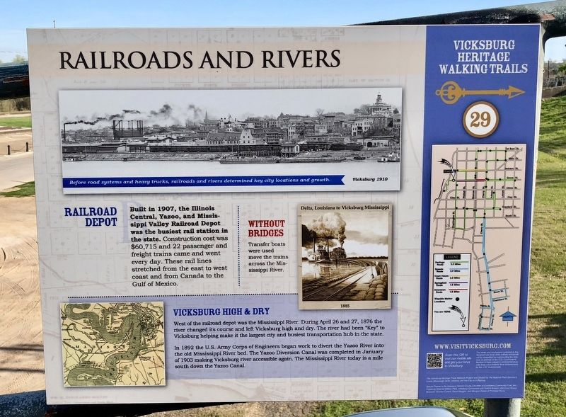
Railroad Depot
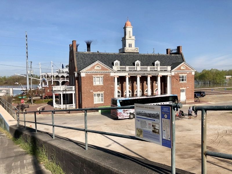
Built in 1907, the Illinois Central, Yazoo, and Mississippi Valley Railroad Depot was the busiest rail station in the state. Construction cost was $60,715 and 22 passenger and freight trains came and went every day. These rail lines stretched from the east to west coast and from Canada to the Gulf of Mexico.
Without Bridges
Transfer boats were used move the trains across the Mississippi River.
Vicksburg High & Dry
West of the railroad depot was the Mississippi River. During April 26 and 27, 1876 the river changed its course and left Vicksburg high and dry. The river had been "Key" to Vicksburg helping make it the largest city and busiest transportation hub in the state.
In 1892 the U.S. Army Corps of Engineers began work to divert the Yazoo River into the old Mississippi River bed. The Yazoo Diversion Canal was completed in January of 1903 making Vicksburg river accessible again. The Mississippi River today is a mile south down the Yazoo Canal.
Photo captions
Top: Before road systems and heavy trucks, railroads and rivers determined key city locations and growth. Vicksburg 1910
Right:
this page online
Erected 2017 by the City of Vicksburg. (Marker Number 29.)
Topics and series. This historical marker is listed in these topic lists: Railroads & Streetcars • Waterways & Vessels. In addition, it is included in the Mississippi, Vicksburg Heritage Walking Trail series list. A significant historical month for this entry is January 1903.
Location. 32° 21.135′ N, 90° 52.946′ W. Marker is in Vicksburg, Mississippi, in Warren County. It is on Grove Street west of Washington Street (Business U.S. 51), on the right when traveling west. Touch for map. Marker is at or near this postal address: Grove Street, Vicksburg MS 39183, United States of America. Touch for directions.

Regionally, this marker is in Natchez Trace Corridor and in Greater Jackson. It is also in the American South, specifically in the Deep South, in the Mississippi Delta, and in the Great River Road Region. Globally, it is in North America, a Gulf of Mexico state, the Western Hemisphere, the Western World, and the Anglosphere. Historically, it finds itself in what was once New Spain, the territory of the Mississippian
Photographed by Mark Hilton, March 23, 2018
2. View from marker towards the Old Vicksburg Railroad Depot.
Other nearby markers. At least 8 other markers are within walking distance of this marker: The Vicksburg Campaign and Siege (within shouting distance of this marker); William R. Ferris (within shouting distance of this marker); Jitney Jungle (within shouting distance of this marker); Governor and Mrs. Kirk Fordice (within shouting distance of this marker); LeTourneau (within shouting distance of this marker); Miss Mississippi (about 300 feet away, measured in a direct line); Vicksburg's Original Floodwall (about 300 feet away); Koestler Bakery's Christmas Tree Lane (about 300 feet away). Touch for a list and map of all markers in Vicksburg.
Photographed by Mark Hilton, March 23, 2018
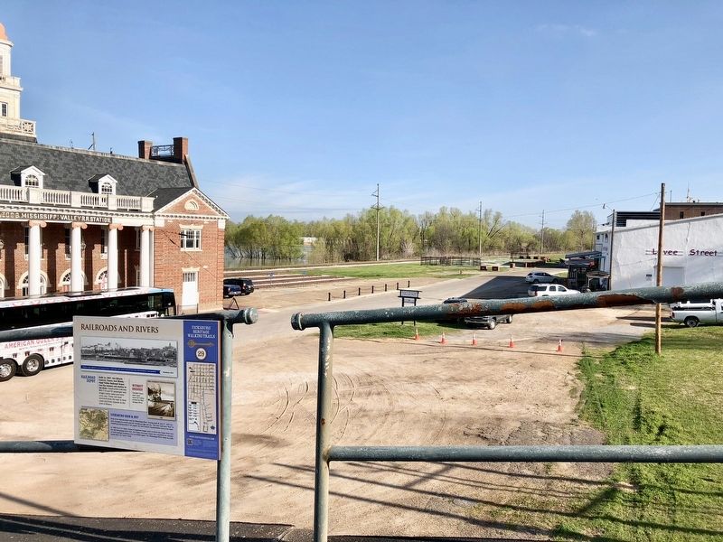
3. View north along railroad tracks.
Photographed by Mark Hilton, March 23, 2018
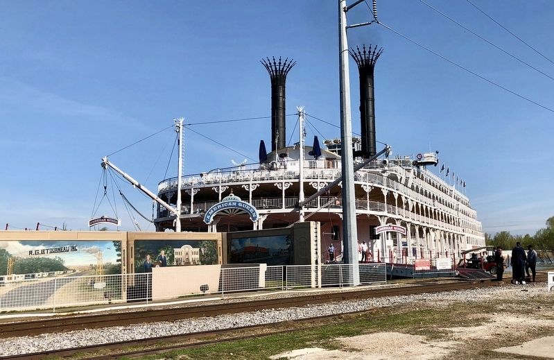
4. The American Queen Steamboat on the Yazoo River, docked at the Old Depot.
Credits. This page was last revised on March 31, 2018. It was originally submitted on March 25, 2018, by Mark Hilton of Montgomery, Alabama. This page has been viewed 531 times since then and 42 times this year. Photos: 1, 2, 3, 4. submitted on March 25, 2018, by Mark Hilton of Montgomery, Alabama.
