Old Town in Alexandria, Virginia — The American South (Mid-Atlantic)
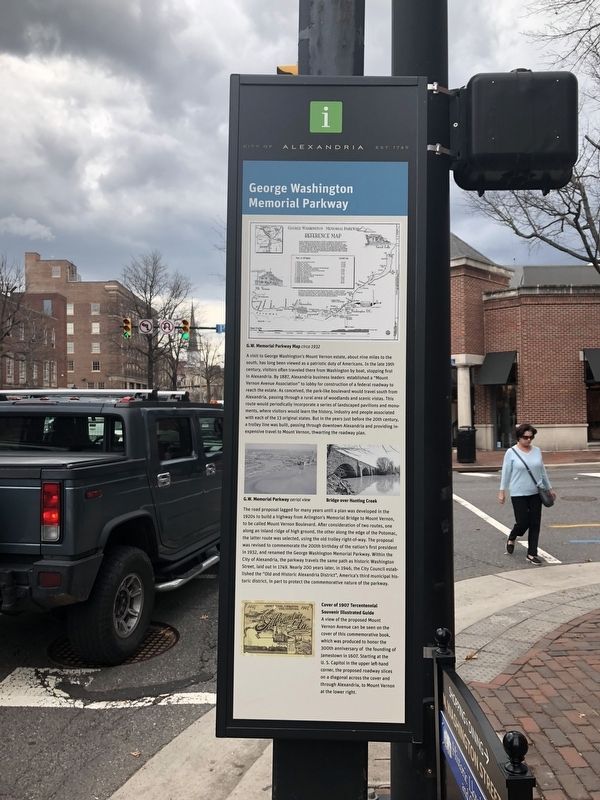
George Washington Memorial Parkway
City of Alexandria Est. 1749
Photographed by Devry Becker Jones (CC0), March 30, 2018
1. George Washington Memorial Parkway Marker
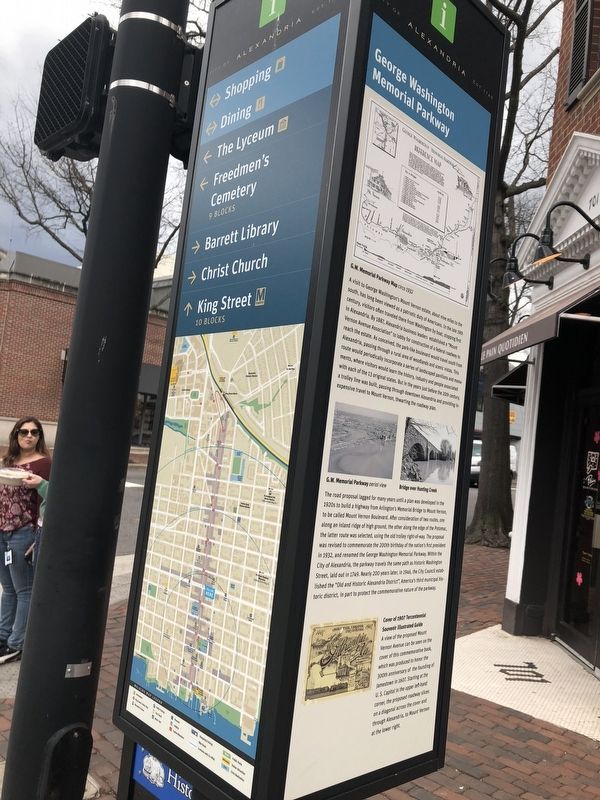
The road proposal lagged for many years until a plan was developed in the 1920s to build a highway from Arlington's Memorial Bridge to Mount Vernon, to be called Mount Vernon Boulevard. After consideration of two
this page online
Cover of 1907 Tercentennial Souvenir Illustrated Guide
A view of the proposed Mount Vernon Avenue can be seen on the cover of this commemorative book, which was produced to honor the 300th anniversary of the founding of Jamestown in 1607. Starting at the U. S. Capitol in the upper left-hand corner, the proposed roadway slices on a diagonal across the cover and through Alexandria, to Mount Vernon at the lower right.
(captions) G.W. Memorial Parkway Map circa 1932
G.W. Memorial Parkway aerial view
Bridge
Photographed by Devry Becker Jones (CC0), March 30, 2018
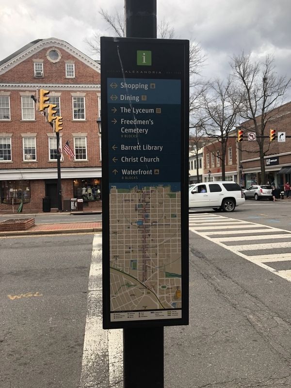
2. George Washington Memorial Parkway Marker
Erected by City of Alexandria.
Topics and series. This historical marker is listed in these topic lists: Parks & Recreational Areas • Roads & Vehicles. In addition, it is included in the Former U.S. Presidents: #01 George Washington, and the Virginia, The City of Alexandria series lists.
Location. 38° 48.309′ N, 77° 2.827′ W. Marker is in Alexandria, Virginia. It is in Old Town. It is at the intersection of King Street (Virginia Route 7) and North Washington Street ( Route 400), on the right when traveling west on King Street. Touch for map. Marker is at or near this postal address: 106 North Washington Street, Alexandria VA 22314, United States of America. Touch for directions.

Regionally, this marker is in the Washington Metropolitan Area and in Northern Virginia. It is also in the American South, specifically in the Upper South, in the Mid-Atlantic, and on the Eastern Seaboard. Globally, it is in the North Atlantic Region, North America, the Western Hemisphere, the Western World, and the Anglosphere. Historically, it finds itself in what
Photographed by Devry Becker Jones (CC0), March 30, 2018
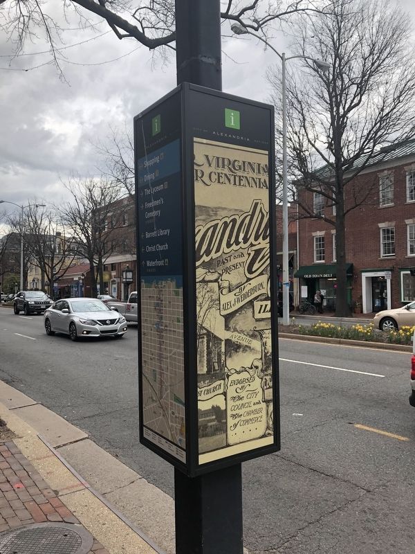
3. George Washington Memorial Parkway Marker
Other nearby markers. At least 8 other markers are within walking distance of this marker: The Alexandria Lyceum (a few steps from this marker); Lee-Fendall House (within shouting distance of this marker); Timberman Brothers (within shouting distance of this marker); Methodist Protestant Church Site (within shouting distance of this marker); Dr. Bernard Stier, O.D. (1930-2005) (within shouting distance of this marker); Christ Church (within shouting distance of this marker); The Methodist Episcopal Congregation of Alexandria (about 300 feet away, measured in a direct line); Trinity United Methodist Church (about 300 feet away). Touch for a list and map of all markers in Alexandria.
Photographed by Devry Becker Jones (CC0), March 30, 2018
4. George Washington Memorial Parkway Marker
Credits. This page was last revised on January 28, 2023. It was originally submitted on March 31, 2018, by Devry Becker Jones of Washington, District of Columbia. This page has been viewed 562 times since then and 36 times this year. Photos: 1, 2, 3, 4. submitted on March 31, 2018, by Devry Becker Jones of Washington, District of Columbia. • Bernard Fisher was the editor who published this page.
