Portsmouth in Rockingham County, New Hampshire — The American Northeast (New England)
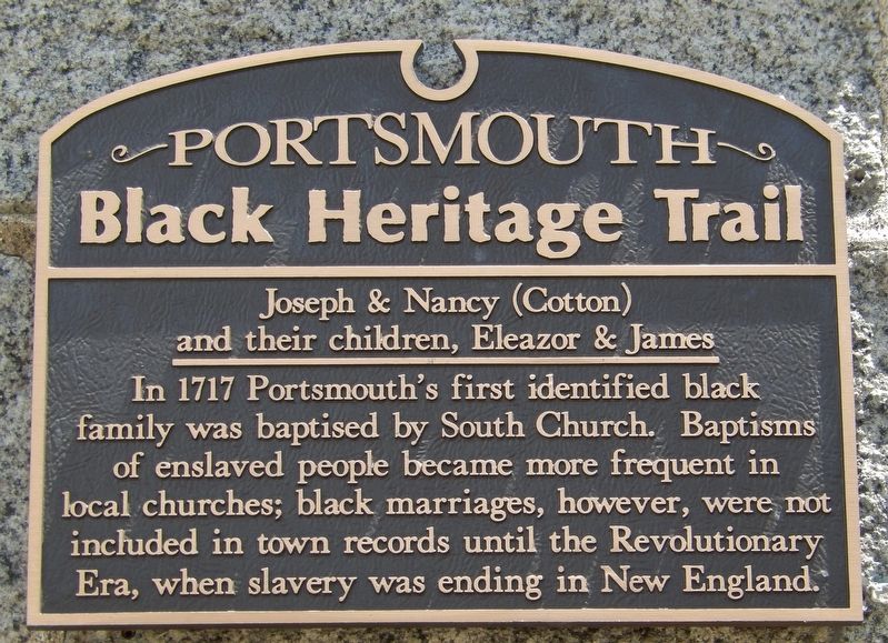
Joseph & Nancy (Cotton) and their children, Eleazor & James
Portsmouth Black Heritage Trail
Erected by Portsmouth Black Heritage Trail.
Topics and series. This historical marker is listed in these topic lists: Abolition & Underground RR • African Americans • Churches & Religion • Colonial Era • War, US Revolutionary. In addition, it is included in the New Hampshire, The Black Heritage Trail of series list. A significant historical year for this entry is 1717.
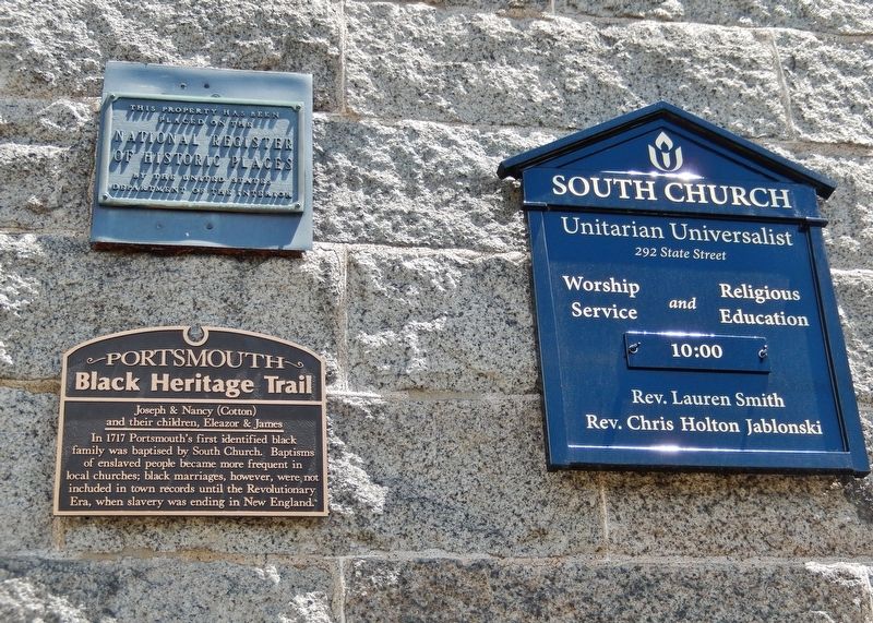
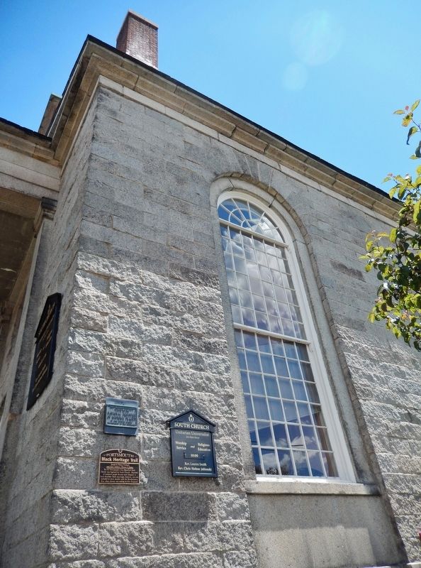
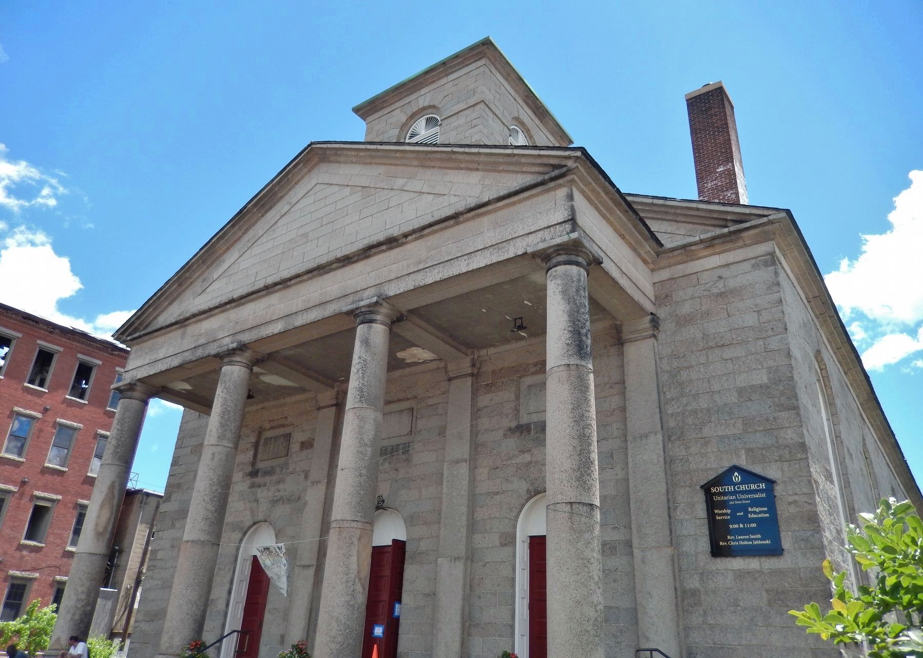
Location. 43° 4.53′ N, 70° 45.465′ W. Marker is in Portsmouth, New Hampshire, in Rockingham County. Marker is at the intersection of State Street (U.S. 1) and Court Place, on the right when traveling north on State Street. Marker is mounted above eye level on the west side of the South Church Unitarian Universalist Church building, near the northwest corner. Touch for map. Marker is at or near this postal address: 292 State Street, Portsmouth NH 03801, United States of America. Touch for directions.
Other nearby markers. At least 8 other markers are within walking distance of this marker. The South Church (within shouting distance of this marker); Site of "Negro Burying Ground" (about 400 feet away, measured in a direct line); African Burying Ground Memorial (about 400 feet away); Siras Bruce (about 400 feet away); Treaty of Portsmouth 1905 (about 400 feet away); Negro Pews (about 400 feet away); Frank Jones's Hotels (about 500 feet away); 18 Congress (about 500 feet away). Touch for a list and map of all markers in Portsmouth.
Related markers. Click here for a list of markers that are related to this marker. Portsmouth Black Heritage Trail
Also see . . . Portsmouth Black Heritage Trail.
South Church’s Unitarian women are reputed to have been part of the pre-Civil War “Underground Railroad,” violating federal law by helping fugitive slaves out of the country. After the Civil War, they founded, funded and operated schools for newly freed black Americans in the South, in which as many as 100 students, ranging from infants to elderly, were instructed together. In the 20th century, South Church ministers have been guest preachers at Portsmouth’s black People’s Baptist Church, and among the organizers of the local civil rights movement. (Submitted on April 7, 2018, by Cosmos Mariner of Cape Canaveral, Florida.)
Credits. This page was last revised on November 24, 2019. It was originally submitted on April 7, 2018, by Cosmos Mariner of Cape Canaveral, Florida. This page has been viewed 180 times since then and 12 times this year. Photos: 1, 2, 3, 4. submitted on April 7, 2018, by Cosmos Mariner of Cape Canaveral, Florida. • Bill Pfingsten was the editor who published this page.


