Portsmouth in Rockingham County, New Hampshire — The American Northeast (New England)
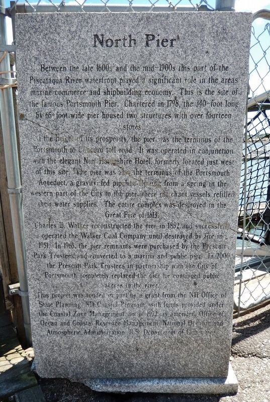
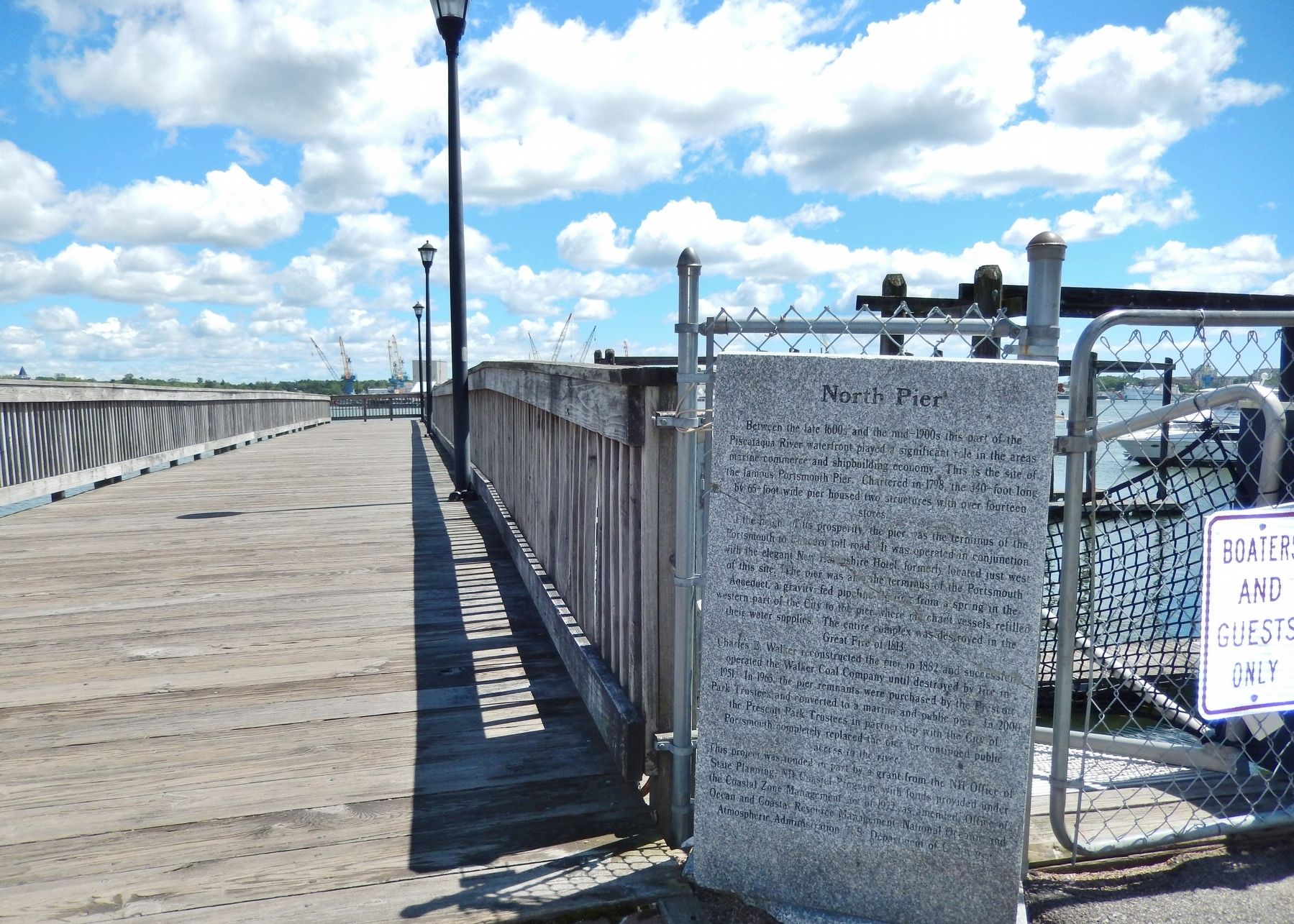
North Pier
In the height of its prosperity, the pier was the terminus of the Portsmouth to Concord toll road. It was operated in conjunction with the elegant New Hampshire Hotel, formerly located just west of this site. The pier was also the terminus of the Portsmouth Aqueduct, a gravity fed pipeline flowing from a spring in the western part of the City to the pier where merchant vessels refilled their water supplies. The entire complex was destroyed in the Great Fire of 1813.
Charles E. Walker reconstructed the pier in 1882 and successfully operated the Walker Coal Company until destroyed by fire in 1951. In 1965, the pier remnants were purchased by the Prescott Park Trustees and converted to a marina and public pier. In 2000, the Prescott Park Trustees in partnership with the City of Portsmouth completed replaced the pier for continued public access to the river.
This project was funded in part by a grant from the NH Office of State Planning, NH Coastal Program, with funds provided under the Coastal Zone Management Act of 1972, as amended, Office of Ocean and Coastal Resource Management, National Ocean and Atmospheric Administration, U.S. Department of Commerce.
Topics. This historical marker is listed in these topic lists: Industry & Commerce • Parks & Recreational Areas • Roads & Vehicles • Waterways & Vessels.
Location. 43° 4.68′ N, 70° 45.13′ W. Marker is in Portsmouth, New Hampshire, in Rockingham County. Marker can be reached from State Street north of Marcy Street, on the right when traveling north. Marker and subject pier are located at the northeast corner of Prescott Park, at the north end of the parking lot, overlooking the Piscataqua River and the Memorial Bridge. Touch for map. Marker is at or near this postal address: 105 Marcy Street, Portsmouth NH 03801, United States of America. Touch for directions.
Other nearby markers. At least 8 other markers are within walking distance of this marker. Portsmouth Pier & Wharves (here, next to this marker); Memorial Bridge 1923-2012 (within shouting distance of this marker); Portsmouth Navy Yard (about 400 feet away, measured in a direct line); Portsmouth Memorial Bridge Marker (about 400 feet away); Oracle House (about 400 feet away); Portsmouth Veteran's Memorial (about 400 feet away); Black Yankees and The Sea (about 500 feet away); Portsmouth NH Marine Railway (about 500 feet away). Touch for a list and map of all markers in Portsmouth.
Also see . . .
1. New Hampshire's turnpike.
New Hampshire's first turnpike was not Interstate 93 or I-95; it was the Concord to Portsmouth Turnpike. The road was not just a business enterprise but also an effort to improve trade between Portsmouth and interior towns, perhaps a desperate move by Portsmouth merchants to keep trade from going down the Merrimack to Boston. The death-knell of the turnpike and much east-west traffic between Portsmouth and Concord was sounded in 1809 by the construction of a canal around the Amoskeag Falls at Manchester. This, with the Middlesex Canal, opened up the Merrimack River to barge traffic directly to Boston from all of the converging roads coming into Concord. (Submitted on April 7, 2018, by Cosmos Mariner of Cape Canaveral, Florida.)
2. History of Portsmouth Water System.
(Link presents historical Portsmouth Aqueduct photographs, including wooden aqueduct pipes from the 1800s.)
1797 - Portsmouth Aqueduct Company formed by act of NH Legislature
Fountain Head Spring Developed (near current Haven Well) and piped to City
1867 - Sherburne and Concord Springs added
1891 - City takes over system
1950s - Pease Air base takes over Haven Well and builds new tanks and pipes in Pease area for it's own separate water system.
1990s - Pease system turned over to Pease Development Authority. City takes over operations. (Submitted on April 7, 2018, by Cosmos Mariner of Cape Canaveral, Florida.)
3. History of Portsmouth Christmas Fires.
Three devastating blazes in 11 years transformed Portsmouth into the city it is today. The first was in 1802, on December 26; the second, in 1806 on December 24 and the third, in 1813 on December 22. No sooner had the city begun to rebuild, twice, when flames once again leveled it. The 1813 fire — called "the Great Portsmouth Fire" — was the worst of them. It broke out near Court and Pleasant Streets and engulfed everything from there to the river. A year later the Legislature passed the Brick Act, which required that all new city buildings more than 12 feet high be built of brick. As a result, today the central part of the city, north of Court Street, is mostly brick. (Submitted on April 7, 2018, by Cosmos Mariner of Cape Canaveral, Florida.)
Credits. This page was last revised on November 24, 2019. It was originally submitted on April 7, 2018, by Cosmos Mariner of Cape Canaveral, Florida. This page has been viewed 272 times since then and 22 times this year. Photos: 1, 2, 3, 4, 5. submitted on April 7, 2018, by Cosmos Mariner of Cape Canaveral, Florida. • Andrew Ruppenstein was the editor who published this page.


