Bayou Teche
Bayou Teche at PJ Allain Waterfront Park & Sculptural Garden
— Atchafalaya Water Heritage Trail —
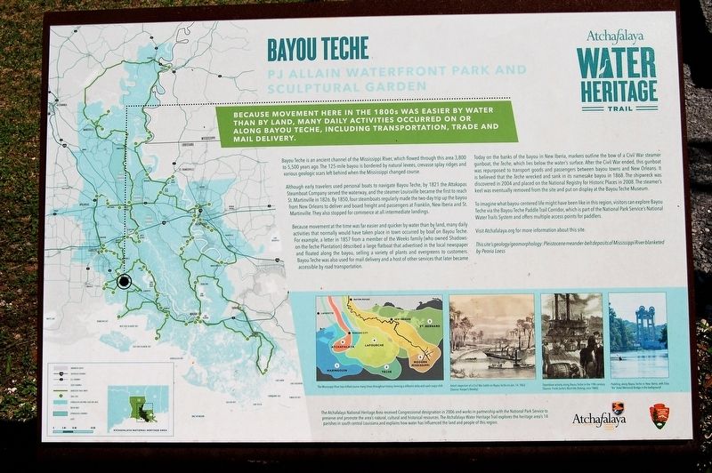
Because movement here in the late 1800s was easier by water than by land, many daily activities occurred on or along Bayou Teche, including transportation, trade, and mail delivery.
Bayou Teche is an ancient channel of the Mississippi River, which flowed through this area 3,800 to 5,500 years ago. The 125-mile bayou is bordered by natural levees, crevasse splay ridges and various geologic scars left behind when the Mississippi changed course.
Although early travelers used personal boats to navigate Bayou Teche, by 1821 the Attakapas Steamboat Company served the waterway, and the steamer Louisville became the first to reach St. Martinville in 1826. By 1850, four steamboats regularly made the two-day trip up the bayou from New Orleans to deliver and board freight and passengers at Franklin, New Iberia and St. Martinville. They also stopped for commerce at all intermediate landings.
Because movement at the time was far easier and quicker by water than by land, many daily activities that normally would have taken place in town occurred by boat on Bayou Teche. For example, a letter in 1857 from a member of the Weeks family (who owned Shadows-on-the-Teche Plantation) described a large flatboat that advertised in the local newspaper and floated along the bayou, selling a variety of plants and evergreens to customers.
Bayou Teche was also used for mail delivery and a host of other services that later became accessible by road transportation.Today on the banks of the bayou in New Iberia, markers outline the bow of a Civil War steamer gunboat, the Teche, which lies below the water’s surface. After the Civil War ended, this gunboat was repurposed to transport goods and passengers between bayou towns and New Orleans. It is believed that the Teche wrecked and sank in its namesake bayou in 1868. The shipwreck was discovered in 2004 and placed on the National Registry for Historic Places in 2008. The steamer’s keel was eventually removed from the site and put on display at the Bayou Teche Museum.
To imagine what bayou-centered life might have been like in this region, visitors can explore Bayou Teche via the Bayou Teche Paddle Trail Corridor, which is part of the National Park Service’s National Water Trails System and offers multiple access points for paddlers.
Visit Atchafalaya.org for more information about this site.
This site’s geology/geomorphology: Pleistocene meander-belt deposits of Mississippi River blanketed by Peoria Loess
Erected by State of Louisiana and National Park Service.
Topics and series. This historical marker is listed in these topic lists: Environment •
Location. 30° 0.305′ N, 91° 48.957′ W. Marker is in New Iberia, Louisiana, in Iberia Parish. Marker can be reached from North Weeks Street near East Main Street, on the right when traveling north. Located at the terminus at North Weeks Street. Touch for map. Marker is at or near this postal address: 109 North Weeks Street, New Iberia LA 70560, United States of America. Touch for directions.
Other nearby markers. At least 8 other markers are within walking distance of this marker. New Iberia Shipwreck (a few steps from this marker); Shadows-On-The Teche (about 300 feet away, measured in a direct line); The Murray Building (about 300 feet away); The United States Post Office - Circa 1903 (about 400 feet away); Bazus Building (about 400 feet away); Segura - Labourgeois Building (about 400 feet away); The Davis Building (about 400 feet away); The Dreyfus Building (about 500 feet away). Touch for a list and map of all markers in New Iberia.
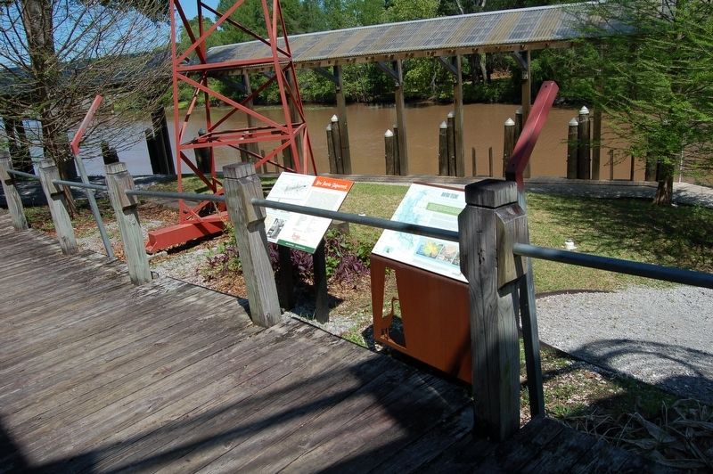
More about this marker. Located at the terminus at North Weeks Street, then walk to marker, located in the sculpture garden park on the Bayou Teche.
Credits. This page was last revised on March 31, 2024. It was originally submitted on April 9, 2018, by Cajun Scrambler of Assumption, Louisiana. This page has been viewed 379 times since then and 20 times this year. Photos: 1, 2. submitted on April 9, 2018.

