San Angelo in Tom Green County, Texas — The American South (West South Central)
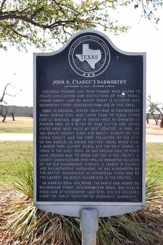
John R. ("Sarge") Nasworthy
(September 12, 1849 - November 4, 1924)
Photographed by Duane Hall, March 23, 2018
1. John R. ("Sarge") Nasworthy Marker
Colorful pioneer and Texas Ranger who helped to create civilization and institutions of West Texas. Owned ranch land on which today is situated Lake Nasworthy – first conservation lake in this area.
Born in Georgia. Served 1864–1865 in Confederate army, during Civil War. Later came to Texas, living first at Bonham. After he moved west, he operated in Menard area as a buyer of beef cattle for United States army mess halls at Fort Concho. In 1880s he was deputy county clerk and deputy sheriff of Tom Green County and the first treasurer of the city of San Angelo. He owned the first local brick kiln, a wagon yard, a livery stable, and the only hearse in town in the early days. He was second man to fence land, second man to grow cotton in the county. A county commissioner, 1910–1916, he promoted building of the Old Chadbourne viaduct. A leader in church and philanthropic endeavors, he was a promoter of the Baptist encampment at Christoval (then one of the largest religious gatherings in the South).
He married Dena Von Fisher. The family had homes on Beauregard Street, Knickerbocker Road, Ben Ficklin Road and at Nasworthy Lake site. His six children carry on family tradition of community leadership.
Erected 1970 by State Historical Survey Committee. (Marker Number 2801.)
Topics. This historical marker is listed in these topic lists: Agriculture • Industry & Commerce • Settlements & Settlers • War, US Civil. A significant historical date for this entry is September 12, 1849.
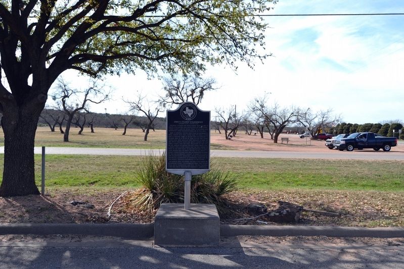
Location. 31° 23.272′ N, 100° 29.517′ W. Marker is in San Angelo, Texas, in Tom Green County. It is at the intersection of Knickerbocker Road and Hillside Drive, on the right when traveling south on Knickerbocker Road. Touch for map. Marker is in this post office area: San Angelo TX 76904, United States of America. Touch for directions.

Regionally,
this page online
Other nearby markers. At least 8 other markers are within 5 miles of this marker, measured as the crow flies: Site of Ben Ficklin (approx. 3.2 miles away); Major Ben Ficklin, C.S.A. (approx. 3.3 miles away); Tom Green County (approx. 3.3 miles away); Ben Ficklin Cemetery (approx. 3.3 miles away); Kiwanis Little Olympics (approx. 3½ miles away); Johnson Street Church of Christ (approx. 3.8 miles away); Angelo State University Memorial Oak Grove (approx. 4.1 miles away); Delta Memorial Park Cemetery (approx. 4.2 miles away). Touch for a list and map of all markers in San Angelo.
Photographed by Duane Hall, March 23, 2018
2. John R. ("Sarge") Nasworthy Marker
Photographed by Duane Hall, March 23, 2018
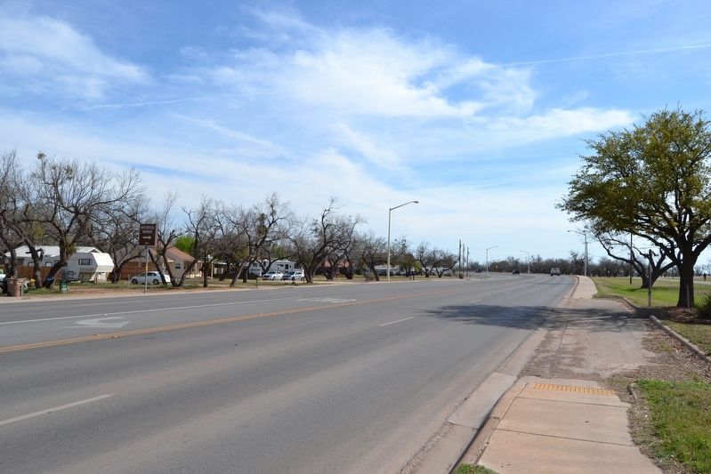
3. View to South Along Knickerbocker Road
Credits. This page was last revised on December 3, 2024. It was originally submitted on April 9, 2018, by Duane Hall of Abilene, Texas. This page has been viewed 1,174 times since then and 87 times this year. Photos: 1, 2, 3. submitted on April 9, 2018, by Duane Hall of Abilene, Texas.
