Pierson Lake
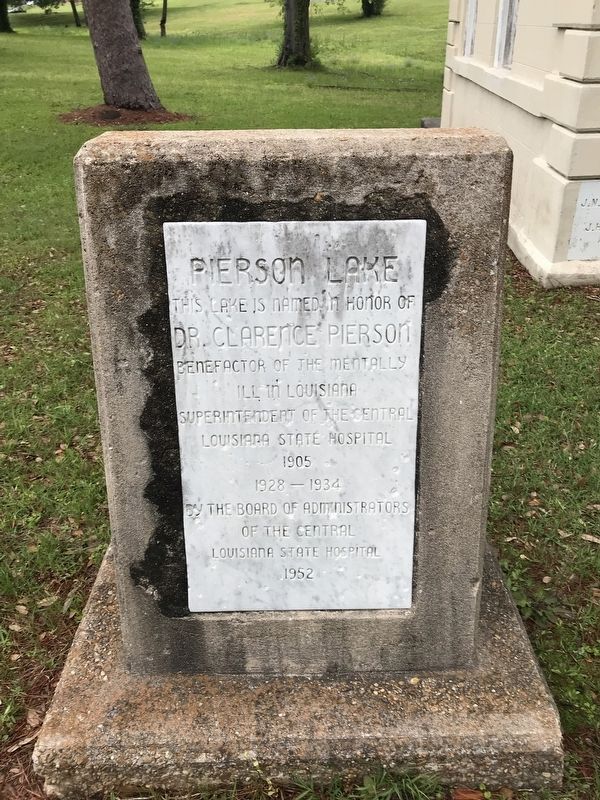
This lake is named in honor for
Benefactor of the mentally ill in Louisiana Superintendent of the Central Louisiana State Hospital 1905
1928-1934
Erected 1952 by The Board of Administrators of the Central Louisiana State Hospital.
Topics. This historical marker is listed in these topic lists: Science & Medicine • Waterways & Vessels.
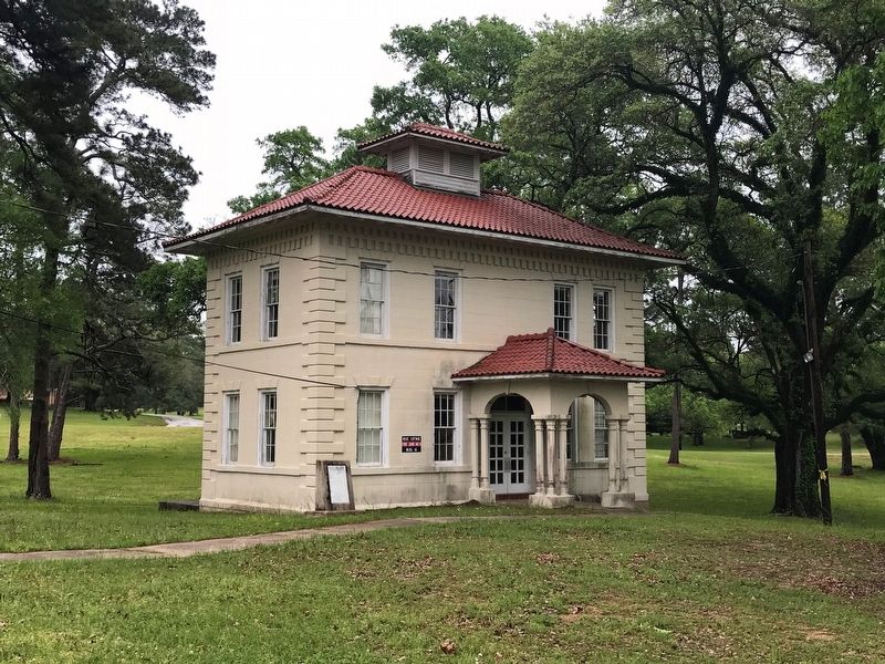
Location. 31° 19.847′ N, 92° 26.273′ W. Marker is in Pineville, Louisiana, in Rapides Parish. It is on Azalea Road near Cedar Lane Road. Located on the grounds of the Central Louisiana State Hospital, in front of "Rose Hut". Touch for map. Marker is in this post office area: Pineville LA 71360, United States of America. Touch for directions.
Regionally, this marker is in Central Louisiana and in Acadiana — Cajun Country. It is also in the American South and specifically in the Deep South. Globally, it is in North America, a Gulf of Mexico state, the Western Hemisphere, the Western World, and the Anglosphere. Historically, it finds itself in what was once New Spain, the Viceroyalty of New France,
this page online
Other nearby markers. At least 8 other markers are within walking distance of this marker: Central Louisiana State Hospital Cemetery (about 400 feet away, measured in a direct line); 1101 Main Street (approx. half a mile away); 900 Block of Main Street (approx. half a mile away); 1000 Block Main Street (approx. half a mile away); First Baptist Church (approx. half a mile away); 1100 Block Main Street (approx. half a mile away); Intersection of Main and Reagan streets (approx. half a mile away); Donahue Ferry Road (approx. 0.6 miles away). Touch for a list and map of all markers in Pineville.
More about this marker. Photography on site prohibited. Must get permission from Hospital's Administration department.
Credits. This page was last revised on March 1, 2024. It was originally submitted on April 10, 2018, by Cajun Scrambler of Assumption, Louisiana. This page has been viewed 818 times since then and 69 times this year. Photos: 1, 2. submitted on April 10, 2018.
