Evansville in Tunica County, Mississippi — The American South (East South Central)
Evansville Mounds
— Mississippi Mound Trail —
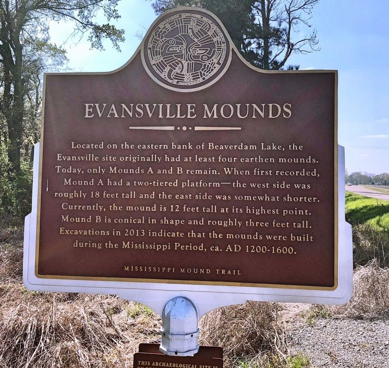
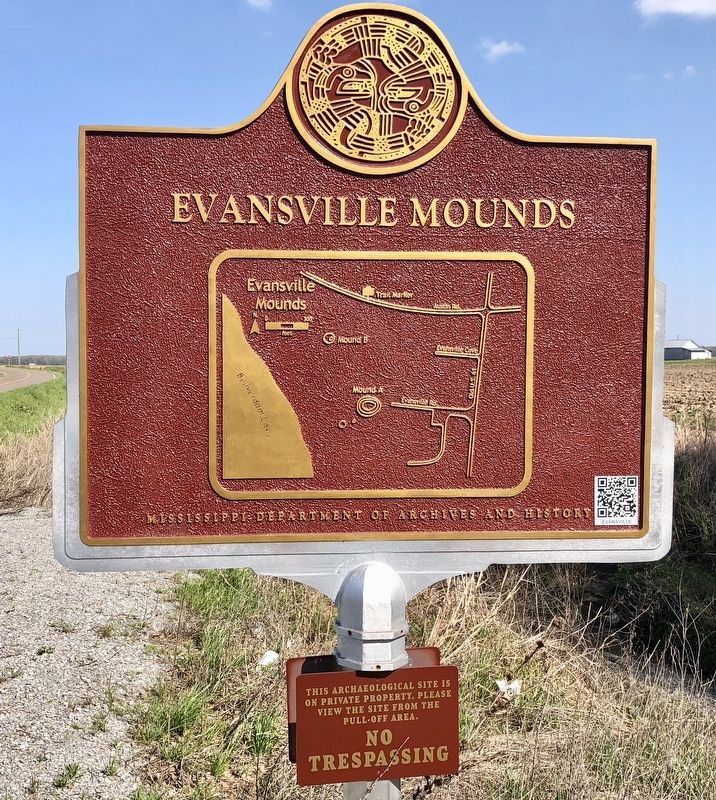
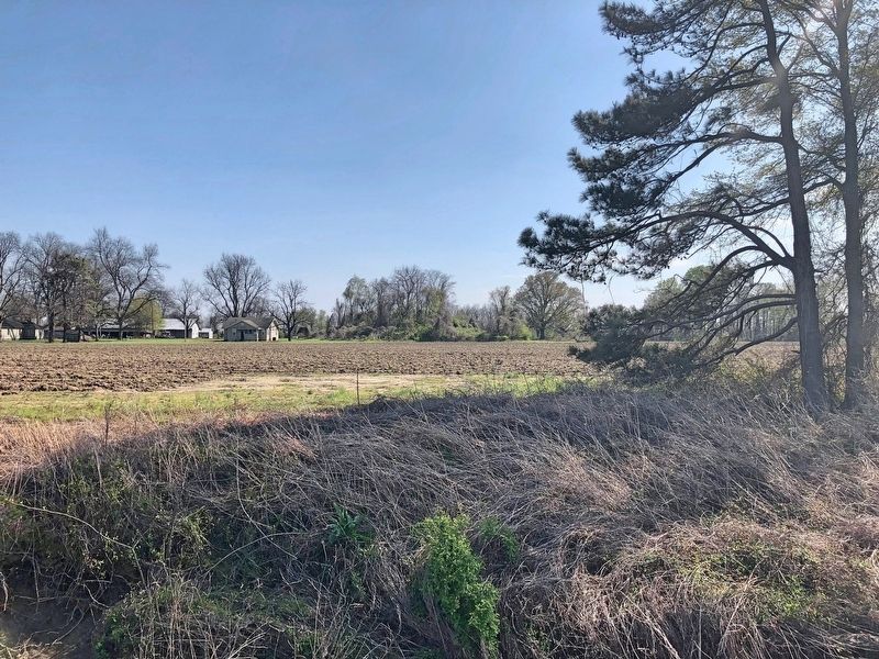
Located on the eastern bank of the Beaverdam Lake, the Evansville site originally had at least four earthen mounds. Today, only Mounds A and B remain. When first recorded, Mound A had a two-tiered platform—the west side was roughly 18 feet tall and the east side was somewhat shorter. Currently, the mound is 12 feet tall at its highest point. Mound B is conical in shape and roughly three feet tall. Excavations in 2013 indicate that the mounds were built during the Mississippi Period, ca. AD 1200-1600.
Erected 2016 by MDAH, Mississippi Department of Transportation, Office of State Aid Road Construction, Federal Highway Administration & private landowners.
Topics and series. This historical marker is listed in these topic lists: Anthropology & Archaeology • Native Americans. In addition, it is included in the Mississippi Mound Trail series list. A significant historical year for this entry is 2013.
Location. 34° 38.441′ N, 90° 23.543′ W. Marker is in Evansville, Mississippi, in Tunica County. Marker is on Austin Road, 0.2 miles west of Old U.S. 61, on the left when traveling west. Touch for map. Marker is at or near this postal address: Austin Road, Tunica MS 38676, United States of America. Touch for directions.
Other nearby markers. At least 8 other markers are within 13 miles of this marker, measured as the crow flies. James Cotton (approx. 3 miles away); Town of Tunica Veterans Memorial (approx. 3.2 miles away); Harold "Hardface" Clanton (approx. 3.3 miles away); Johnson Cemetery Mound (approx. 7.1 miles away); Hollywood Mounds (approx. 9.2 miles away); Abbay & Leatherman (approx. 12.3 miles away); Pippengerville (approx. 12.8 miles away in Arkansas); The Hollywood Cafe (approx. 13 miles away).
Also see . . . Mississippi Mound Trail. Mississippi Historical Markers website entry (Submitted on October 18, 2023, by Mark Hilton of Montgomery, Alabama.)
Credits. This page was last revised on April 15, 2024. It was originally submitted on April 11, 2018, by Mark Hilton of Montgomery, Alabama. This page has been viewed 261 times since then and 28 times this year. Photos: 1, 2, 3, 4. submitted on April 11, 2018, by Mark Hilton of Montgomery, Alabama.


