Jacksonport in Jackson County, Arkansas — The American South (West South Central)
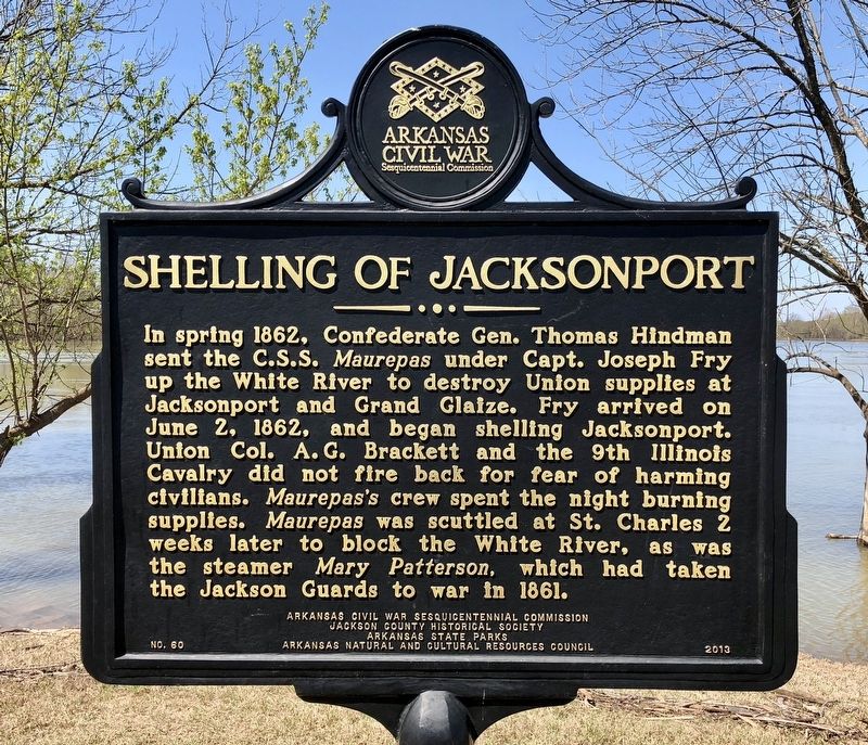
Shelling of Jacksonport
Photographed by Mark Hilton, April 9, 2018
1. Shelling of Jacksonport Marker
Erected 2013 by Arkansas Civil War Sesquicentennial Commission, Jackson County Historical Society, Arkansas State Parks, Arkansas Natural and Cultural Resources Council. (Marker Number 60.)
Topics and series. This historical marker is listed in these topic lists: War, US Civil • Waterways & Vessels. In addition, it is included in the Arkansas Civil War Sesquicentennial Commission series list. A significant historical date for this entry is June 2, 1862.
Location. 35° 38.305′ N, 91° 18.746′ W. Marker is in Jacksonport, Arkansas, in Jackson County. It is on Avenue Street 0.1 miles
this page online

Regionally, this marker is in the American South and specifically in the Upper South. Globally, it is in North America, the Western Hemisphere, the Western World, and the Anglosphere. Historically, it finds itself in what was once the territory of the Mississippian Culture, the Louisiana Purchase, one of the Confederate States of America, and the Antebellum South.
Other nearby markers. At least 8 other markers are within walking distance of this marker: The Port of Jacksonport (about 300 feet away, measured in a direct line); Welcome to Jacksonport State Park (about 500 feet away); Building the City (about 600 feet away); Jacksonport in the Civil War (about 700 feet away); Jackson Guards Monument (about 800 feet away); Jacksonport Civil War Cannon (about 800 feet away); Surrender at Jacksonport (approx. 0.2 miles away); The Courthouse (approx. 0.2 miles away). Touch for a list and map of all markers in Jacksonport.
Also see . . .
1. Jacksonport in the Civil War.
Photographed by Mark Hilton, April 9, 2018
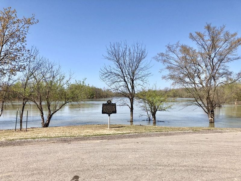
2. View of the marker with the flooded White River in background.
2. C.S.S. Maurepas. Encyclopedia of Arkansas History & Culture entry. (Submitted on April 12, 2018, by Mark Hilton of Montgomery, Alabama.)
Photographed by Mark Hilton, April 9, 2018
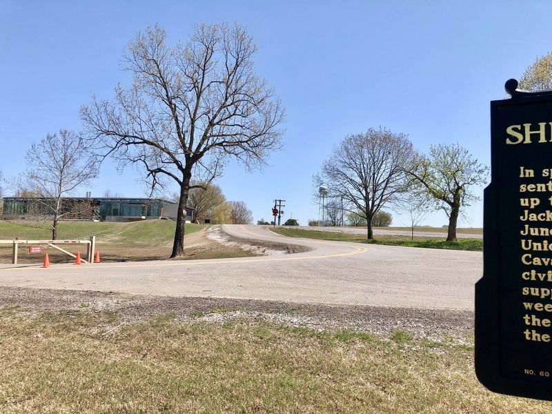
3. East view showing construction going on for a Jacksonport State Park Visitors Center.
Credits. This page was last revised on January 6, 2021. It was originally submitted on April 12, 2018, by Mark Hilton of Montgomery, Alabama. This page has been viewed 491 times since then and 46 times this year. Photos: 1, 2, 3. submitted on April 12, 2018, by Mark Hilton of Montgomery, Alabama.
