Austin in Lonoke County, Arkansas — The American South (West South Central)
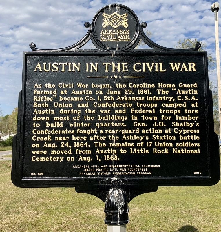
Austin in the Civil War
Erected 2015 by Arkansas Civil War Sesquicentennial Commission, Grand Prairie Civil War Roundtable, Arkansas Historic Preservation Program. (Marker Number 138.)
Topics and series. This historical marker is listed in these topic lists: Cemeteries & Burial Sites • War, US Civil. In addition, it is included in the Arkansas Civil War Sesquicentennial Commission series list. A significant historical date for this entry is June 29, 1861.
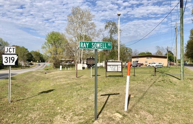
Location. 34° 59.036′ N, 91° 57.915′ W. Marker is in Austin, Arkansas, in Lonoke County. Marker is at the intersection of Arkansas Route 38 and Ray Sowell Road, on the right when traveling east on State Route 38. Touch for map. Marker is in this post office area: Austin AR 72007, United States of America. Touch for directions.
Other nearby markers. At least 8 other markers are within 8 miles of this marker, measured as the crow flies. Austin (here, next to this marker); Oakland Grove (Old Austin) (a few steps from this marker); World War II Memorial (approx. 2.6 miles away); Camp Nelson Confederate Cemetery (approx. 2.8 miles away); Camp Nelson (approx. 2.8 miles away); Saint Genevieve Trail and the Old Military Road (approx. 7 miles away); Beebe Gold Star Family Memorial Monument (approx. 7.3 miles away); Built by a Community with Love (approx. 7.3 miles away). Touch for a list and map of all markers in Austin.
Credits. This page was last revised on April 14, 2018. It was originally submitted on April 14, 2018, by Mark Hilton of Montgomery, Alabama. This page has been viewed 543 times since then and 36 times this year. Photos: 1, 2. submitted on April 14, 2018, by Mark Hilton of Montgomery, Alabama.

