Franconia in Grafton County, New Hampshire — The American Northeast (New England)
1889 Iron Bridge
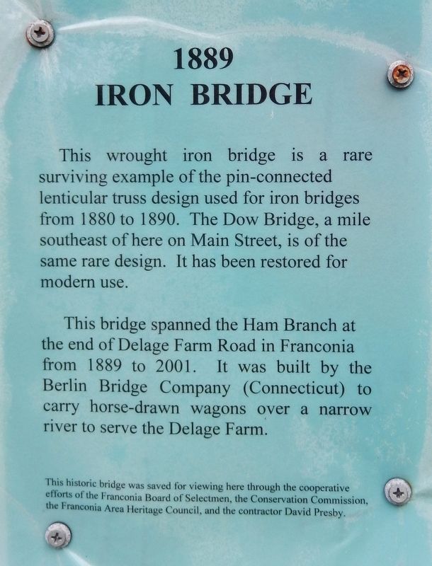
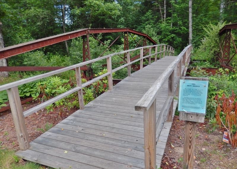
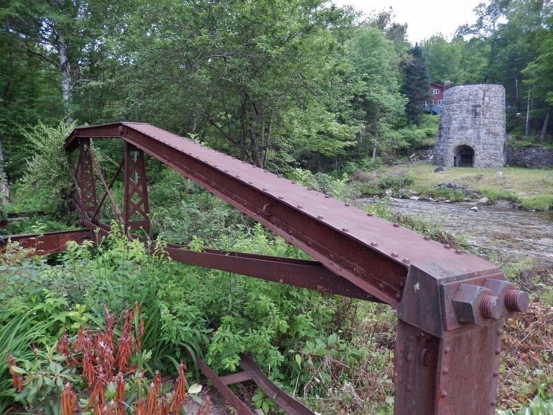
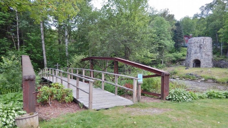
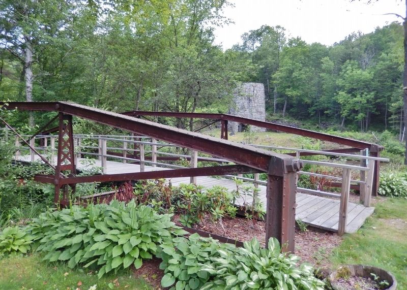
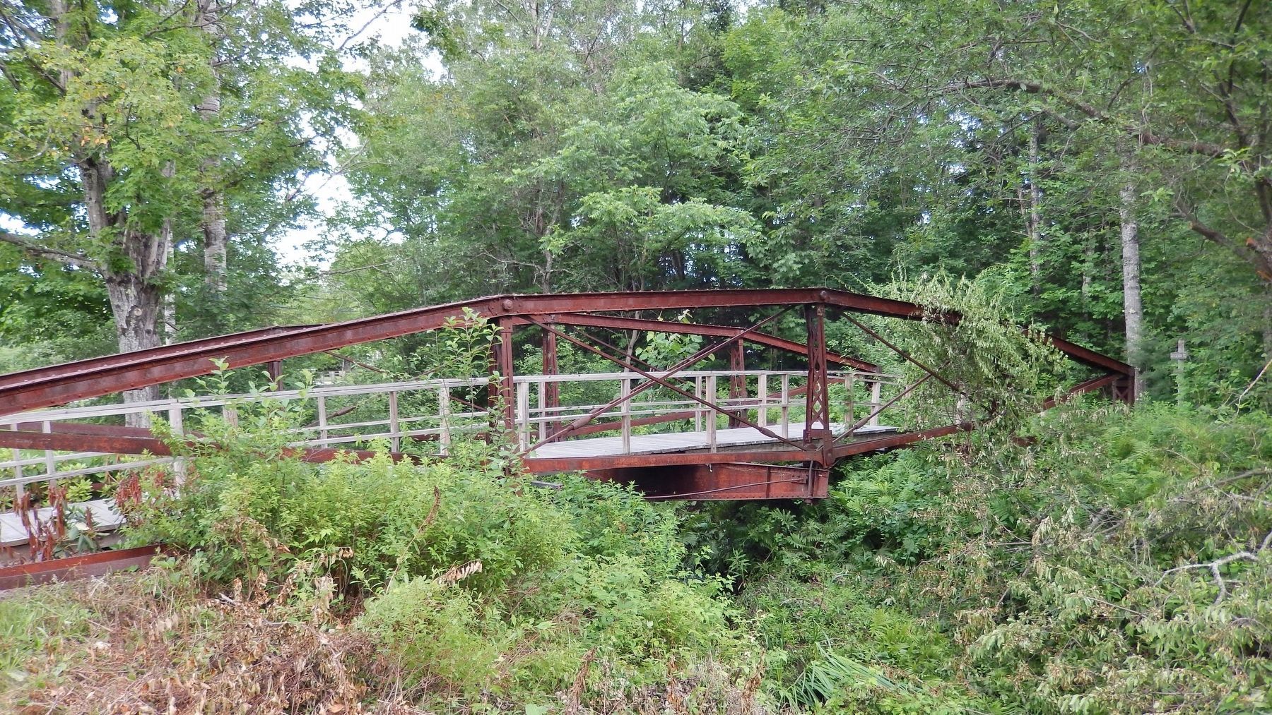
This wrought iron bridge is a rare surviving example of the pin-connected lenticular truss design used for iron bridges from 1880 to 1890. The Dow Bridge, a mile southeast of here on Main Street, is of the same rare design. It has been restored for modern use.
This bridge spanned the Ham Branch at the end of Delage Farm Road in Franconia from 1889 to 2001. It was built by the Berlin Bridge Company (Connecticut) to carry horse-drawn wagons over a narrow river to serve the Delage Farm.
This historic bridge was saved for viewing here through the cooperative efforts of the Franconia Board of Selectmen, the Conservation Commission, the Franconia Area Heritage Council, and the contractor David Presby.
Erected by Iron Furnace Interpretive Center and Franconia Area Heritage Council.
Topics. This historical marker is listed in these topic lists: Agriculture • Animals • Bridges & Viaducts • Roads & Vehicles. A significant historical year for this entry is 1889.
Location. 44° 13.799′ N, 71° 45.28′ W. Marker is in Franconia, New Hampshire, in Grafton County. Marker is on Main Street (New Hampshire Route 116) 0.1 miles south of Sugar Hill Road (New Hampshire Route 117), on the left when traveling north. Marker is located in a small roadside park, on the west side of the highway, overlooking the Gale River. Marker is mounted on a post and located adjacent to the subject bridge. Touch for map. Marker is in this post office area: Franconia NH 03580, United States of America. Touch for directions.
Other nearby markers. At least 8 other markers are within 5 miles of this marker, measured as the crow flies. Early Franconia (a few steps from this marker); Iron Furnace (a few steps from this marker); Stone Iron Furnace (a few steps from this marker); First Ski School in America (approx. ¾ mile away); Franconia College (approx. 1.9 miles away); Fanny’s Little Playhouse (approx. 3.6 miles away); Frances Glessner Lee (approx. 3.9 miles away); Willowdale Settlement (approx. 4.4 miles away). Touch for a list and map of all markers in Franconia.
Related markers. Click here for a list of markers that are related to this marker. Besaw Iron Furnace Interpretive Center
Also see . . . New Hampshire Metal Truss Bridges. New Hampshire Division of Historical Resources PDF
Metal truss bridges embody the early maturity of American civil engineering. Older wooden covered bridges were often built on the basis of intuition derived from experience. Metal trusses, by contrast, express engineers’ newfound ability to analyze the precise compressive or tensile stresses in a complex structure, and to design a bridge that would carry a specific load with a known factor of safety. (Submitted on April 15, 2018, by Cosmos Mariner of Cape Canaveral, Florida.)
Credits. This page was last revised on April 6, 2023. It was originally submitted on April 15, 2018, by Cosmos Mariner of Cape Canaveral, Florida. This page has been viewed 293 times since then and 24 times this year. Photos: 1, 2, 3, 4, 5, 6. submitted on April 15, 2018, by Cosmos Mariner of Cape Canaveral, Florida. • Bill Pfingsten was the editor who published this page.
