Jacksonville in Pulaski County, Arkansas — The American South (West South Central)
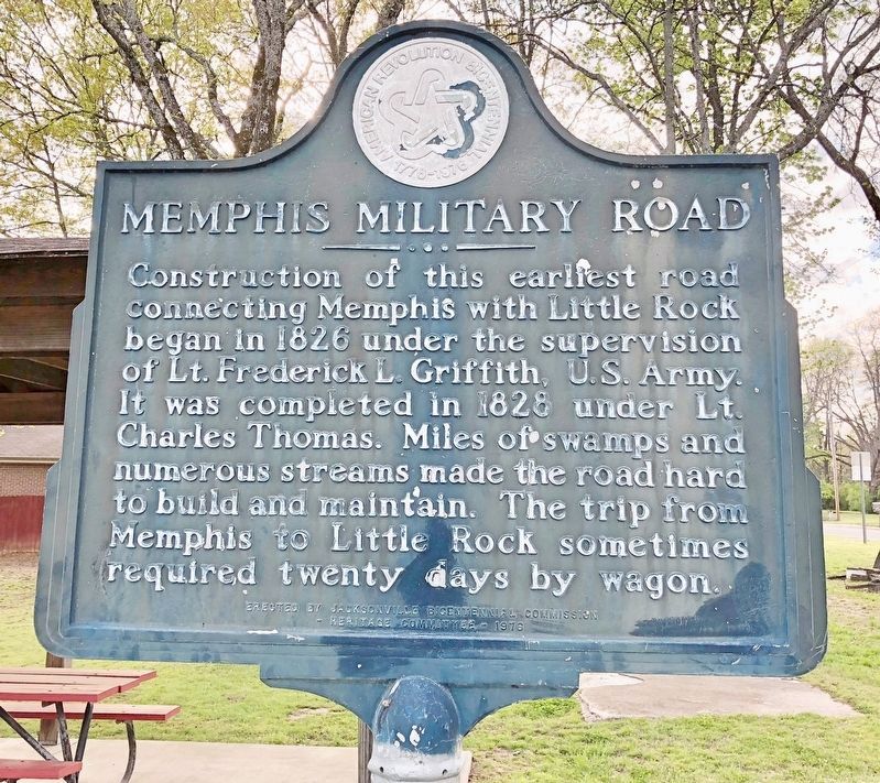
Memphis Military Road
Photographed by Mark Hilton, April 9, 2018
1. Memphis Military Road Marker
Erected 1976 by the Jacksonville Bicentennial Commission Heritage Committee.
Topics. This historical marker is listed in these topic lists: Roads & Vehicles • Waterways & Vessels. A significant historical year for this entry is 1826.
Location. 34° 51.137′ N, 92° 6.818′ W. Marker is in Jacksonville, Arkansas, in Pulaski County. It is at the intersection of East Trickey Lane and Military Road, on the right when traveling east on East Trickey Lane. Located within Heritage Park. Touch for map. Marker is at or near this postal address: 300 East Trickey Lane, Jacksonville AR 72076, United States of America. Touch for directions.

Regionally, this marker is in the Little Rock Metropolitan Area and in the Quapaw Homeland. It is also in the American South and specifically
this page online
Other nearby markers. At least 8 other markers are within walking distance of this marker: Shared Gray Jacob Gray (here, next to this marker); Battle of Reed's Bridge (a few steps from this marker); The Brigade Moved Forward (within shouting distance of this marker); The Memphis to Little Rock Railroad (within shouting distance of this marker); They Passed This Way (within shouting distance of this marker); The Trail of Tears through Jacksonville (within shouting distance of this marker); Our Batteries Opened a Tremendous Fire (approx. 0.4 miles away); A Gallant Charge (approx. half a mile away). Touch for a list and map of all markers in Jacksonville.
Photographed by Mark Hilton, April 9, 2018
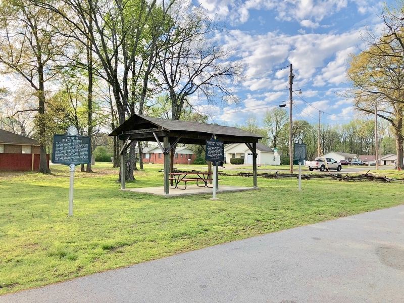
2. Memphis Military Road Marker on far right.
Photographed by Mark Hilton, April 9, 2018
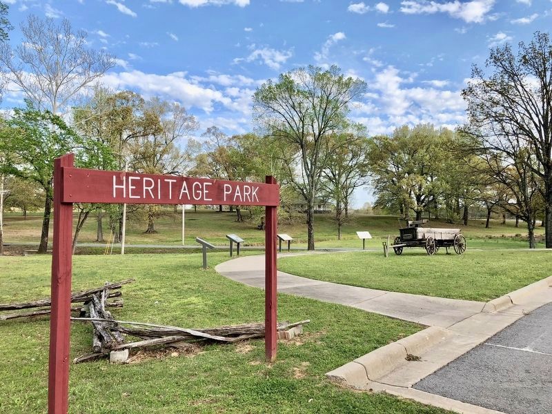
3. Located in Heritage Park with Military Road in background.
Credits. This page was last revised on April 17, 2018. It was originally submitted on April 17, 2018, by Mark Hilton of Montgomery, Alabama. This page has been viewed 584 times since then and 26 times this year. Photos: 1, 2, 3. submitted on April 17, 2018, by Mark Hilton of Montgomery, Alabama.
