Little Rock in Pulaski County, Arkansas — The American South (West South Central)
The Little Rock Campaign - Bayou Fourche
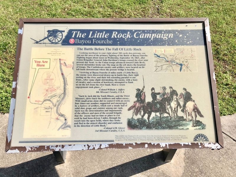
The Battle Before The Fall Of Little Rock
"Arriving at Bayou Fourche (4 miles south of Little Rock), the enemy were discovered drawn up in battle line, their right resting on the river, and their left extending parallel to our front...After some slight skirmishing, the enemy, with a body of cavalry and a section of howitzers, attempted to flank us on the left from the river bank. Here a severe engagement took place..."
-Colonel William I. Jeffers
8th Missouri Cavalry, C.S.A.
"Inch by inch did the Tenth Illinois...and the Third Missouri...drive back the stubborn and sullen enemy...With small-arms alone did we contend with an enemy four times our number, supported and encouraged by a battery of artillery, which sent a steady hail of solid shot, grape and canister among our rank. Such was the determination and impetuosity of the officers and men of the second brigade, that the enemy had no time or place to rest until he had been driven 3 miles, through the woods into the open fields, where they broke and fled in the utmost disorder and confusion in the direction of Little Rock."
-Colonel J.M. Glover
3rd Missouri Cavalry, U.S.A.
Erected by the American Battlefield Protection Program, National Park Service, Department of the Interior, the Arkansas Historic Preservation Program, the Rotary Club of Little Rock. (Marker Number 5.)
Topics and series. This historical marker is listed in these topic lists: War, US Civil • Waterways & Vessels. In addition, it is included in the Rotary International series list. A significant historical date for this entry is September 10, 1863.
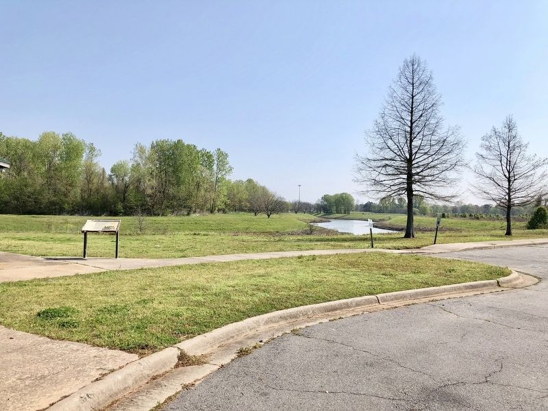
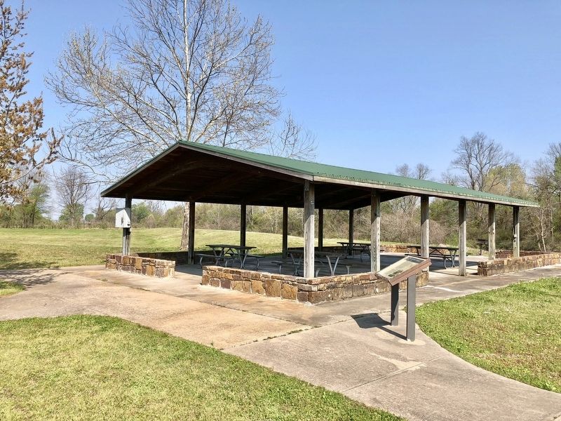
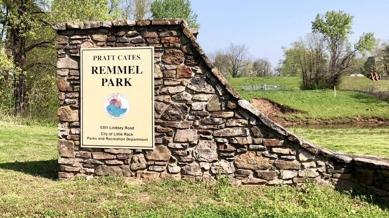
Location. 34° 43.01′ N, 92° 12.455′ W. Marker is in Little Rock, Arkansas, in Pulaski County. Marker can be reached from Lindsey Road, 0.3 miles east of Interstate 440. Located about 0.2 miles east of Lindsey Road in the parking area of Remmel Park. Touch for map. Marker is at or near this postal address: 5301 Lindsey Road, Little Rock AR 72206, United States of America. Touch for directions.
Other nearby markers. At least 8 other markers are within 3 miles of this marker, measured as the crow flies. Battle of Little Rock (approx. half a mile away); Engagement at Bayou Fourche (approx. half a mile away); Harris House (approx.
0.6 miles away); Marmaduke-Walker Duel (approx. 2.6 miles away); State of Minnesota (approx. 2.8 miles away); In Memory of all who served on the Island of Oahu (approx. 2.9 miles away); Little Rock National Cemetery (approx. 2.9 miles away); Confederate Burial in the National Cemetery (approx. 2.9 miles away). Touch for a list and map of all markers in Little Rock.
Regarding The Little Rock Campaign - Bayou Fourche. From 11 AM to 5 PM on September 10, Confederate forces evacuated the city on the Benton Road to Arkadelphia. On the evening of the 10th the city was surrendered, and Union forces under Davidson entered Little Rock along what is now Ninth St. The actual route of Davidson's advance is now largely obscured by the Little Rock National Airport.
Credits. This page was last revised on April 17, 2018. It was originally submitted on April 17, 2018, by Mark Hilton of Montgomery, Alabama. This page has been viewed 496 times since then and 50 times this year. Photos: 1, 2, 3, 4. submitted on April 17, 2018, by Mark Hilton of Montgomery, Alabama.


