Little Rock in Pulaski County, Arkansas — The American South (West South Central)
The Little Rock Campaign - Riverfront Park
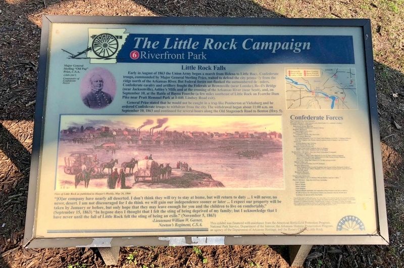
Little Rock Falls
General Price stated that he would not be caught in a trap like Pemberton at Vicksburg and he ordered Confederate troops to withdraw from the city. The withdrawal began about 11:00 a.m. on September 10, 1863 and continued for several hours along the Old Stagecoach Road to Benton (Hwy. 5).
"[O]ur company have nearly all deserted. I don't think they will try to stay at home, but will return to duty ...I will never, no never, desert. I am not discouraged for I do think we will gain our independence sooner or later I expect our property will be taken by January or before, but only hope that they may leave enough for you and the children to live on comfortably." (September 15, 1863) "In bygone days I thought that I felt the sting of being deprived of my family; but I acknowledge that I have never until the fall of Little Rock felt the sting of being an exile." (November 5, 1863)
-Lieutenant William W. Garner
Newton's Regiment, C.S.A.
Erected by the American Battlefield Protection Program, National Park Service, Department of the Interior, the Arkansas Historic Preservation Program, the Rotary Club of Little Rock. (Marker Number 6.)
Topics and series. This historical marker is listed in these topic lists: War, US Civil • Waterways & Vessels. In addition, it is included in the Rotary International series list. A significant historical month for this entry is August 1863.
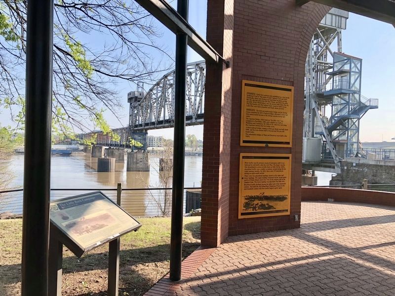
Location. 34° 44.941′ N, 92° 16.033′ W. Marker is in Little Rock, Arkansas, in Pulaski County. Marker can be reached from President Clinton Avenue. Located in Riverfront Park near Junction Bridge. Touch for map. Marker is at or near this postal address: 400 President Clinton Avenue, Little Rock AR 72201, United States of America. Touch for directions.
Other nearby markers. At least 8 other markers are within walking distance of this marker. River Traffic (here, next to this marker); The Point of Rocks (here, next to this marker); Arkansas in the Civil War (here, next to this marker); Settlements (a few steps from this marker); It is River City
(within shouting distance of this marker); Casimir Pulaski (within shouting distance of this marker); Smaller Rock, Big Bridge (within shouting distance of this marker); Witness to Removal (within shouting distance of this marker). Touch for a list and map of all markers in Little Rock.
Regarding The Little Rock Campaign - Riverfront Park. After Davidson's cavalry crossed the river on September 10 under cover of murderous fire from Union artillery, rebel resistance was offered only by Col. A. S Dobbin's division until Marmaduke assumed command at Bayou Fourche, only four miles from Little Rock. There the opposing forces dueled with artillery and small arms fire. The Confederate right flank with two artillery pieces was here at noon on September 10 to halt the Union advance from the river crossing.
The bridge is located near the original bridge site during the battle. Most of the heaviest fighting occurred northwest of the monument after the Union forces outflanked the Confederates around Fourche Creek, which was very low and dry in many stretches. The progress of the Union force south of the river was protected by Union guns on the north shore firing enfilade into Confederate positions. Outnumbered, the Confederates fought a delaying action to gain time for Price's withdrawal.
Credits. This page was last revised on April 17, 2018. It was originally submitted on April 17, 2018, by Mark Hilton of Montgomery, Alabama. This page has been viewed 339 times since then and 35 times this year. Photos: 1, 2, 3. submitted on April 17, 2018, by Mark Hilton of Montgomery, Alabama.


