Jalostotitlán, Jalisco, Mexico — The Pacific Coast (and Central Highlands)
The Archaeological Zone of Teocaltitán
Photographed by J. Makali Bruton, April 6, 2018
1. The Archaeological Zone of Teocaltitán Marker

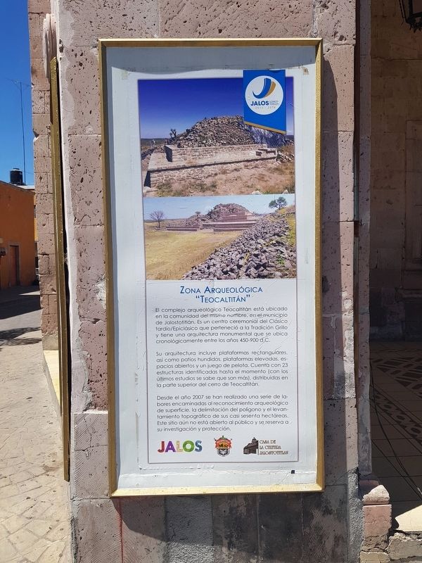
Su arquitectura incluye plataformas rectangulares, así como patios hundidos, plataformas elevadas, espacios abiertos y un juego de pelota. Cuenta con 23 estructuras identificadas hasta el momento (con los últimos estudios se sabe que son más), distribuidas en la parte superior del cerro de Teocaltitán.
Desde el año 2007 se han realizado una serie de labores encaminadas al reconocimiento arqueológico de superficie, la delimitación del poligono y el levantamiento topográfico de sus casi sesenta hectáreas. Este sitio aún no está abierto al público y se reserva a su investigación y protección.
this page online
Its architecture includes rectangular platforms, as well as sunken patios, elevated platforms, open spaces and a ball court. Twenty-three of its structures have been identified so far (with the latest studies it is known that there are more), distributed in the upper part of the hill of Teocaltitán.
Since 2007, a series of tasks have been carried out aimed at the archaeological reconnaissance of the surface, the delimitation of the area of the site and the topographic survey of its almost sixty hectares. This site is not yet open to the public as it is reserved for research and protection.
Erected by Casa de la Cultura Jalostotitlán.
Topics. This historical marker is listed in these topic lists: Anthropology & Archaeology • Architecture • Indigenous Peoples and Communities. A significant historical year for this entry is 2007.
Location. 21° 9.944′ N, 102° 28.069′ W. Marker is in Jalostotitlán, Jalisco. It is on Calle González Hermosillo just south of Calle General
Photographed by J. Makali Bruton, April 6, 2018
2. The Archaeological Zone of Teocaltitán Marker
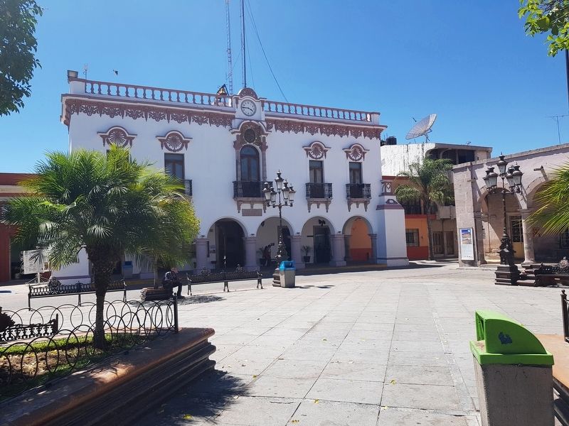
The marker is to the far right, with the Municipal Headquarters (Palacio Municipal) to the left.

Regionally, this marker is in Western Mexico, in the Bajío, on the Pacific Coast, and in the Sierra Madre. Globally, it is in North America, on the Ring of Fire, on the Pacific Rim, and in the Western Hemisphere. Historically, it finds itself in what was once New Spain, a Spanish colony, and the Aztec Empire.
Other nearby markers. At least 8 other markers are within 18 kilometers of this marker, measured as the crow flies: The Virgin of the Assumption (within shouting distance of this marker); José María Cornejo (within shouting distance of this marker); Alfredo R. Placencia (about 120 meters away, measured in a direct line); Pope John Paul II's Visit to Jalostotitlán (about 150 meters away); The Temple of the Blood of Christ (approx. 16 kilometers away); Chapel of the First Miracle (approx. 16.2 kilometers away); Temple of the Third Order (approx. 16.2 kilometers away); Mesón de la Virgen (approx. 16.4 kilometers away). Touch for a list and map of all markers in
Photographed by J. Makali Bruton, April 6, 2018
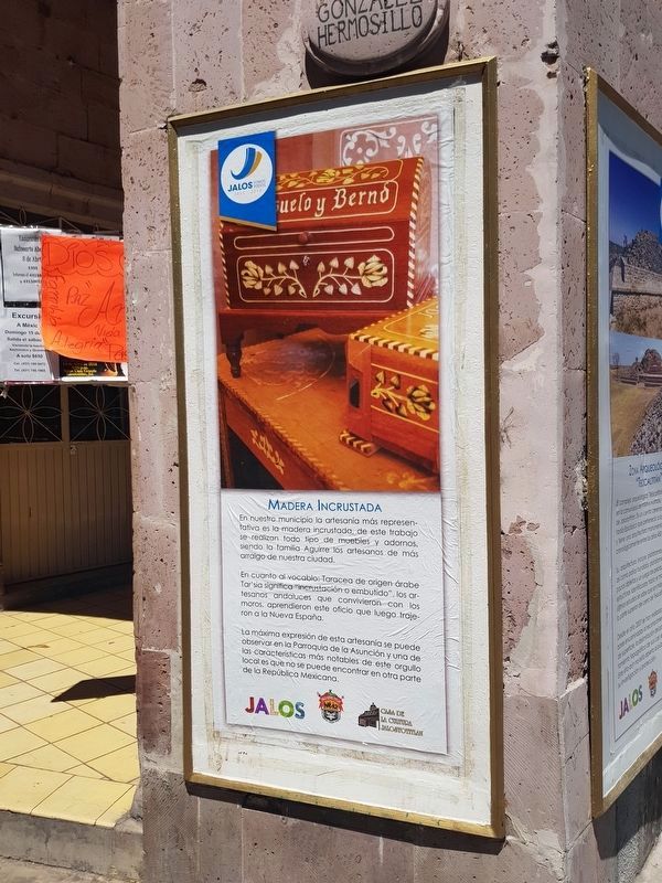
3. An additional nearby marker on inlaid woodwork from Jalostotitlán
Regarding The Archaeological Zone of Teocaltitán. The Archaeological Site of Teocaltitlán is some 60 km (1.5 hr by car) to the northeast from Jalostotitlán, Jalisco.
Credits. This page was last revised on March 15, 2026. It was originally submitted on April 21, 2018, by J. Makali Bruton of Washington, District of Columbia. This page has been viewed 629 times since then and 100 times this year. Photos: 1, 2. submitted on April 21, 2018, by J. Makali Bruton of Washington, District of Columbia. 3. submitted on April 22, 2018, by J. Makali Bruton of Washington, District of Columbia.
