Luthersburg in Clearfield County, Pennsylvania — The American Northeast (Mid-Atlantic)
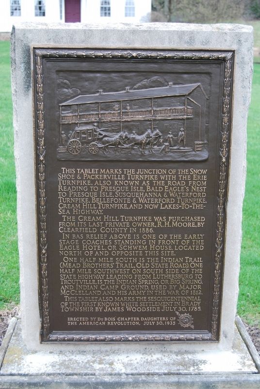
This Tablet Marks the Junction
The Cream Hill Turnpike was purchased from its last private owner, R.H. Moore, by Clearfield County in 1886.
In bas relief above is one of the early stage coaches standing in front of the Eagle Hotel, or Schwem House, located north and opposite this site.
One half mile south is the Indian Trail (Mead Brothers' Trail, Old State Road). One half mile southwest on south side of the state highway leading from Luthersburg to Troutville, is the Indian Spring, or Big Spring, and Indian Camp Ground, used by Major McClelland and his army in the War of 1812.
This tablet also marks the sesquicentennial of the first known white settlement in Brady Township, by James Woodside July 30, 1785.
Erected 1935 by Dubois Chapter Daughters of the American Revolution.
Topics and series. This historical marker is listed in these topic lists: Native Americans • Roads & Vehicles • War of 1812. In addition, it is included in the Daughters of the American Revolution series list. A significant historical date for this entry is July 30, 1785.
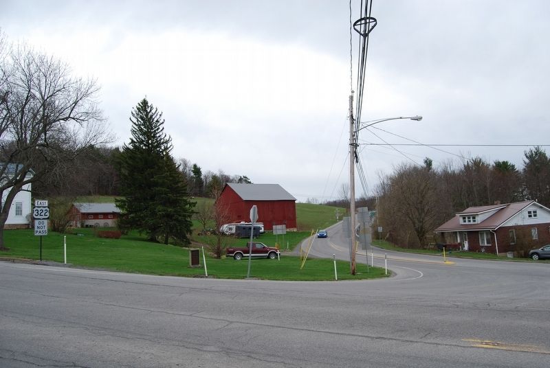
Location. 41° 3.226′ N, 78° 42.986′ W. Marker is in Luthersburg, Pennsylvania, in Clearfield County. Marker can be reached from the intersection of Coal Hill Road (U.S. 219) and Luthersburg Rockton Road (U.S. 322). Touch for map. Marker is in this post office area: Luthersburg PA 15848, United States of America. Touch for directions.
Other nearby markers. At least 8 other markers are within 12 miles of this marker, measured as the crow flies. Richard H. Burfoot (approx. 0.4 miles away); The Big Spring (approx. half a mile away); DuBois (approx. 4.7 miles away); Old State Road (approx. 5 miles away); Snowshoe/Packersville Turnpike (approx. 6 miles away); Grampian (approx. 8.4 miles away); Union Soldiers & Sailors Memorial (approx. 9.4 miles away); Rev. A.W. Tozer (approx. 11.2 miles away). Touch for a list and map of all markers in Luthersburg.
Credits. This page was last revised on April 29, 2018. It was originally submitted on April 29, 2018, by Mike Wintermantel of Pittsburgh, Pennsylvania. This page has been viewed 346 times since then and 37 times this year. Photos: 1, 2. submitted on April 29, 2018, by Mike Wintermantel of Pittsburgh, Pennsylvania.

