
Mendon in Monroe County, New York — The American Northeast (Mid-Atlantic)
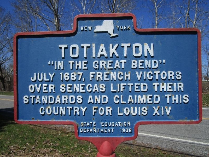
Totiakton
Photographed by Anton Schwarzmueller, April 30, 2018
1. Totiakton Marker
"In the great bend"
July 1687, French victors
over Senecas lifted their
standards and claimed this
country for Louis XIV.
Erected 1936 by New York State Department of Education.
Topics. This historical marker is listed in these topic lists: Colonial Era • Indigenous Peoples and Communities. A significant historical month for this entry is July 1687.
Location. 42° 58.76′ N, 77° 36.418′ W. Marker is in Mendon, New York, in Monroe County. It is on Plains Road 0.1 miles north of Scofield Road, on the right when traveling north. Touch for map. Marker is at or near this postal address: 66 Plains Road, Honeoye Falls NY 14472, United States of America. Touch for directions.

Regionally, this marker is in Upstate New York, specifically in Western New York, in the Finger Lakes, and in the Rochester Metropolitan Area. It is also in the American Northeast and in the Mid-Atlantic. Globally, it is in North America, on the Great Lakes, in the Western Hemisphere, in the Western World, and in the Anglosphere. Historically, it finds itself in what was once the Haudenosaunee (Iroquois) Confederacy, New Netherland,
this page online
Other nearby markers. At least 8 other markers are within 2 miles of this marker, measured as the crow flies: Hickory Hill (approx. 0.9 miles away); Hallock House (approx. 0.9 miles away); Ruland Homestead (approx. 1.2 miles away); Lewis Gates Post (approx. 1½ miles away); Charles A. Goheen (approx. 1½ miles away); Honoeye Falls Veterans Memorial (approx. 1.6 miles away); Honeoye Falls Cemetery / Community History (approx. 1.6 miles away); Former School (approx. 2 miles away).
Photographed by Anton Schwarzmueller, April 30, 2018
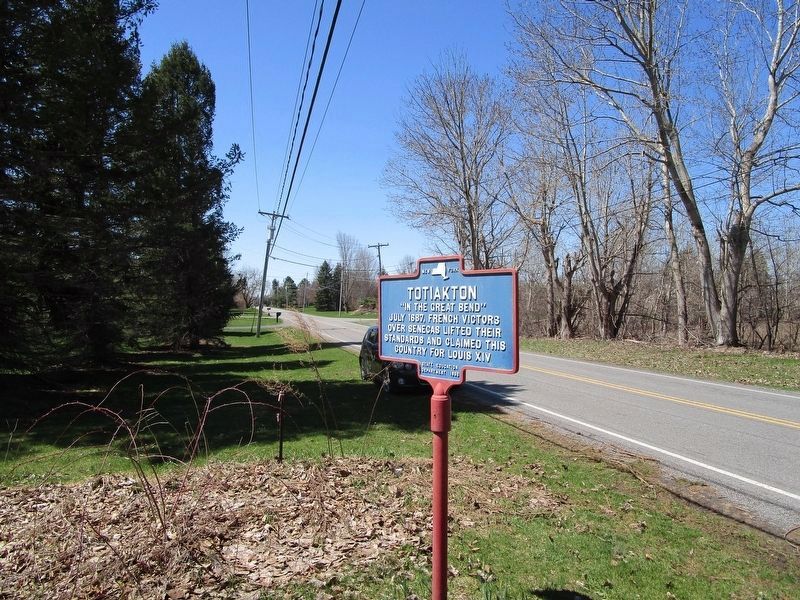
2. Totiakton Marker
View is south towards Scofield Road intersection.

Photographed by Anton Schwarzmueller, April 30, 2018
3. Totiakton Marker
View is generally northward.
Credits. This page was last revised on May 1, 2018. It was originally submitted on April 30, 2018, by Anton Schwarzmueller of Wilson, New York. This page has been viewed 1,267 times since then and 77 times this year. Photos: 1, 2, 3. submitted on April 30, 2018, by Anton Schwarzmueller of Wilson, New York.
