Wilkes-Barre in Luzerne County, Pennsylvania — The American Northeast (Mid-Atlantic)
Public Square Park
Photographed by William Fischer, Jr., May 2, 2018
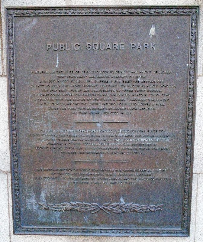
1. Public Square Park Marker
———————•———————
On June 23, 1972 Hurricane Agnes caused the Susquehanna River to flood its banks. The resulting damage in property loss and human suffering to Wilkes-Barre and its Wyoming Valley neighbors was incalculable. Financial aid from federal, state and local governments became available for use in a comprehensive program which planned, financed and implemented renewal efforts.
———————•———————
The
this page online
Topics. This historical marker is listed in these topic lists: Man-Made Features • Parks & Recreational Areas • Settlements & Settlers. A significant historical year for this entry is 1733.
Location. 41° 14.77′ N, 75° 52.922′ W. Marker is in Wilkes-Barre, Pennsylvania, in Luzerne County. It can be reached from Public Square. Marker is near the NW corner of the Public Square, in downtown. Touch for map. Marker is in this post office area: Wilkes Barre PA 18701, United States of America. Touch for directions.

Regionally, this marker is in Anthracite Coal Region and in the Wyoming Valley. It is also in the American Northeast, in the Mid-Atlantic, in Appalachia, and specifically in Northern Appalachia. Globally, it is in North America, the Western Hemisphere, the Western World, and the Anglosphere. Historically, it finds itself in what was once the Haudenosaunee (Iroquois) Confederacy and also
Photographed by William Fischer, Jr., May 2, 2018
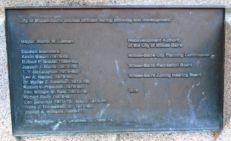
2. Public Square Park Officials Marker
Other nearby markers. At least 8 other markers are within walking distance of this marker: The Birthplace of HBO (here, next to this marker); America's First Jazz Festival (here, next to this marker); Birthplace of the AIME (here, next to this marker); The Fine Arts Fiesta (here, next to this marker); AIME (here, next to this marker); Fort Wilkes Barre 1778 (here, next to this marker); Wilkes-Barre Fort (within shouting distance of this marker); Old Ship Zion Church Bell (within shouting distance of this marker). Touch for a list and map of all markers in Wilkes-Barre.
Also see . . . Wilkes-Barre City & Neighborhood Parks. (Submitted on May 4, 2018, by William Fischer, Jr. of Reynoldsburg, Ohio.)
Photographed by William Fischer, Jr., May 2, 2018
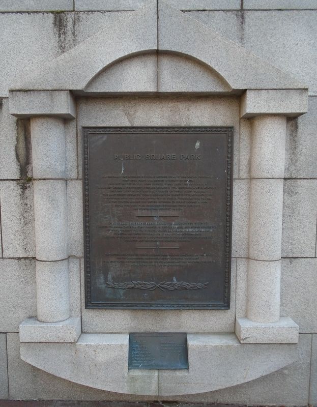
3. Public Square Park Markers
Photographed by William Fischer, Jr., May 2, 2018
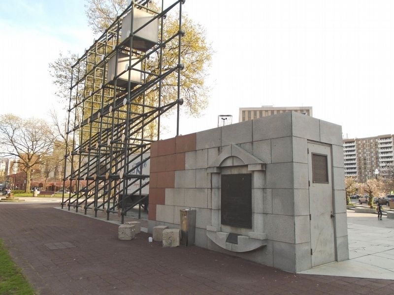
4. Public Square Park Markers
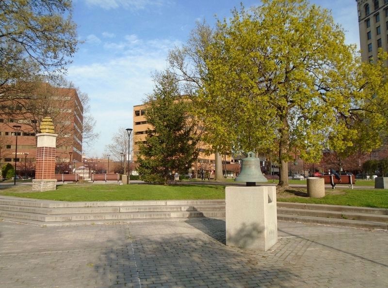
Photographed by William Fischer, Jr., May 2, 2018
5. View of Public Square Park
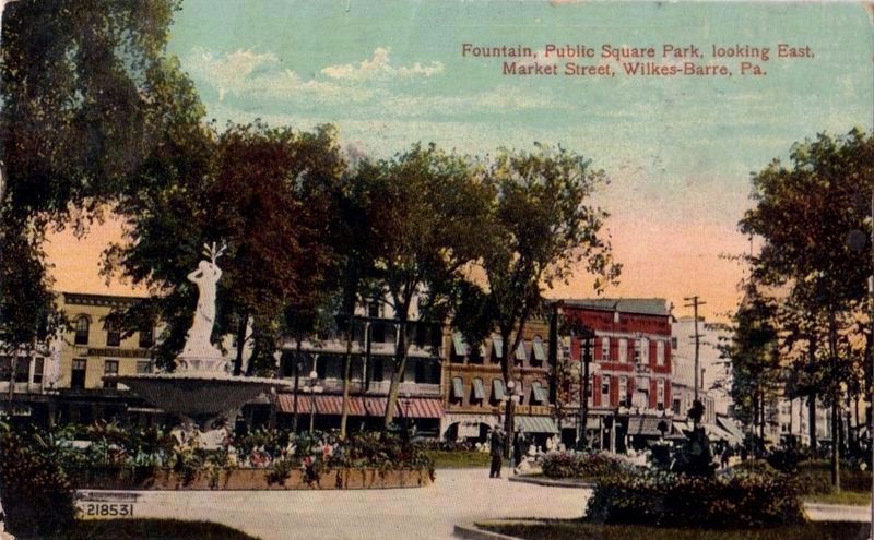
circa 1920
6. Fountain, Public Square Park, looking East, Market Street, Wilkes-Barre, Pa.
Credits. This page was last revised on July 16, 2026. It was originally submitted on May 4, 2018, by William Fischer, Jr. of Reynoldsburg, Ohio. This page has been viewed 577 times since then and 39 times this year. Photos: 1, 2, 3, 4, 5. submitted on May 4, 2018, by William Fischer, Jr. of Reynoldsburg, Ohio. 6. submitted on May 5, 2018.
