Ticonderoga in Essex County, New York — The American Northeast (Mid-Atlantic)
Streetroad Cemetery
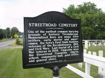
Photographed by Bill Coughlin, July 12, 2008
1. Streetroad Cemetery Marker
Erected 1976 by Ticonderoga Historical Society.
Topics. This historical marker is listed in these topic lists: Cemeteries & Burial Sites • War of 1812 • War, US Civil • War, US Revolutionary. A significant historical year for this entry is 1812.
Location. 43° 52.859′ N, 73° 26.958′ W. Marker is in Ticonderoga, New York, in Essex County. It is on New York State Route 9N, on the left when traveling south. Touch for map. Marker is in this post office area: Ticonderoga NY 12883, United States of America. Touch for directions.

Regionally, this marker is in Upstate New York, in the Adirondacks & North Country, and in the Champlain Valley. It is also in the American Northeast and in the Mid-Atlantic. Globally, it is in North America,
this page online
Other nearby markers. At least 8 other markers are within 3 miles of this marker, measured as the crow flies: A landscape filled with legend and activity . . . (here, next to this marker); Old Military Road (approx. 1.8 miles away); These Defenses (approx. 2.2 miles away); Mount Hope Battery (approx. 2.2 miles away); Hancock House (approx. 2.4 miles away); Liberty Monument (approx. 2.4 miles away); Grace Leach (approx. 2.4 miles away); Island Mill (approx. 2.4 miles away). Touch for a list and map of all markers in Ticonderoga.
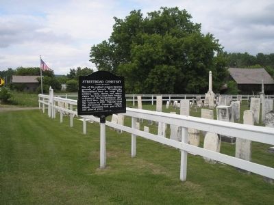
Photographed by Bill Coughlin, July 12, 2008
2. Marker in Ticonderoga
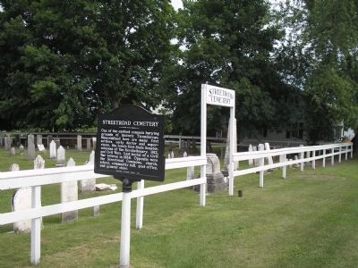
Photographed by Bill Coughlin, July 12, 2008
3. Streetroad Cemetery and Marker
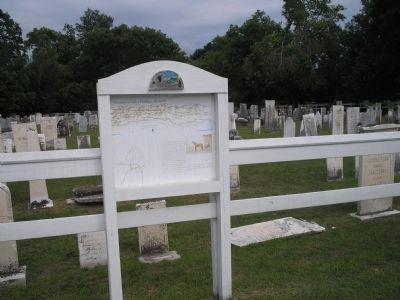
Photographed by Bill Coughlin, July 12, 2008
4. Streetroad Cemetery
This cemetery is part of the Champlain Valley Heritage Network.
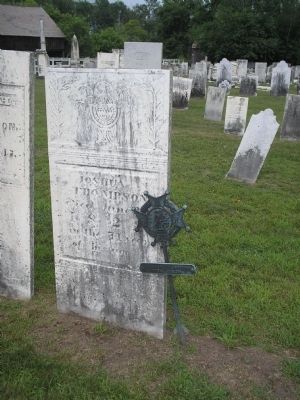
Photographed by Bill Coughlin, July 12, 2008
5. Revolutionary War Veteran's Grave
Many veterans from several different wars are buried in this cemetery.

Photographed by Steve Stoessel, August 10, 2025
6. Streetroad Cemetery Marker
Credits. This page was last revised on August 10, 2025. It was originally submitted on September 23, 2008, by Bill Coughlin of Woodland Park, New Jersey. This page has been viewed 2,371 times since then and 82 times this year. Photos: 1, 2, 3, 4, 5. submitted on September 23, 2008, by Bill Coughlin of Woodland Park, New Jersey. 6. submitted on August 10, 2025, by Steve Stoessel of Niskayuna, New York.
