Near Berkeley Springs in Morgan County, West Virginia — The American South (Appalachia)
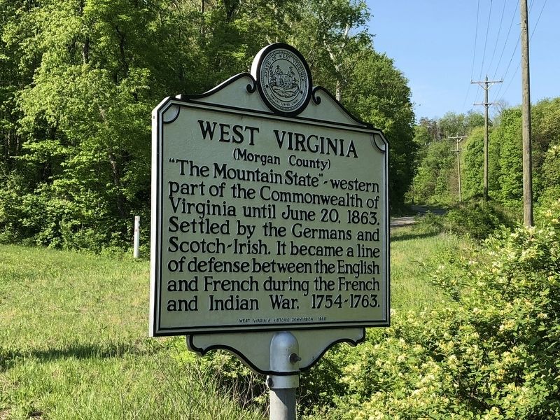
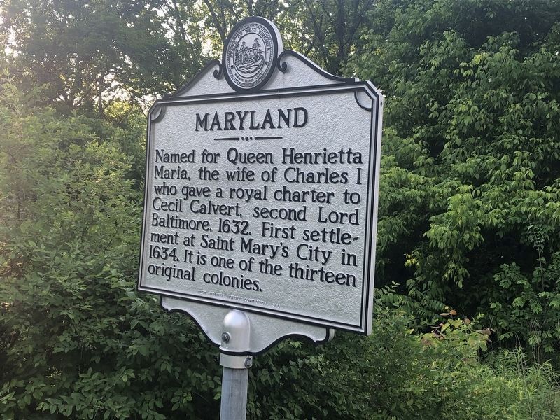
West Virginia (Morgan County) / Maryland
(Morgan County)
Erected 1966 by West Virginia Historic Commission.
Topics and series. This historical marker is listed in these topic lists: Settlements & Settlers • War, French and Indian • Women. In addition, it is included in the West Virginia Archives and History series list. A significant historical date for this entry is June 20, 1863.
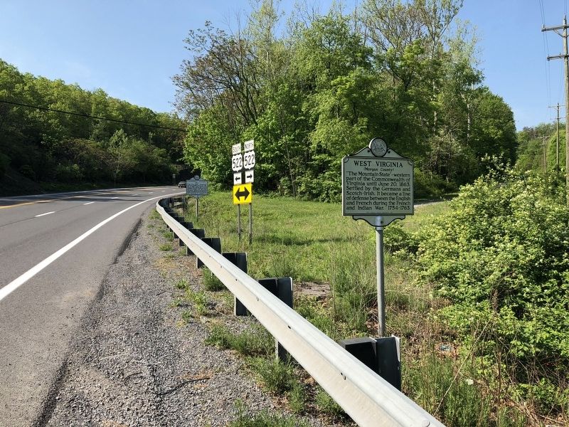
Location. 39° 41.415′ N, 78° 11.169′ W. Marker is near Berkeley Springs, West Virginia, in Morgan County. Marker is at the intersection of Hancock Road (U.S. 522) and River Road (West Virginia Route 1), on the right when traveling south on Hancock Road. Touch for map. Marker is at or near this postal address: 259 Hancock Rd, Berkeley Springs WV 25411, United States of America. Touch for directions.
Other nearby markers. At least 8 other markers are within walking distance of this marker . "Stonewall" Jackson Hill (within shouting distance of this marker); Siding and Packing House Site (approx. 0.4 miles away in Maryland); The Tonoloways (approx. 0.6 miles away in Maryland); Hancock (approx. 0.6 miles away in Maryland); a different marker also named Hancock (approx. 0.6 miles away in Maryland); Hancock's Orchard Industry (approx. 0.6 miles away in Maryland); Hancock in the Canal Era (approx. 0.6 miles away in Maryland); Joseph Hancock, Jr. (approx. 0.6 miles away in Maryland).
Credits. This page was last revised on September 23, 2021. It was originally submitted on May 14, 2018, by Devry Becker Jones of Washington, District of Columbia. This page has been viewed 324 times since then and 38 times this year. Photos: 1. submitted on May 14, 2018, by Devry Becker Jones of Washington, District of Columbia. 2. submitted on May 26, 2019, by Devry Becker Jones of Washington, District of Columbia. 3. submitted on May 14, 2018, by Devry Becker Jones of Washington, District of Columbia. • Bill Pfingsten was the editor who published this page.


