
Near Port Lavaca in Calhoun County, Texas — The American South (West South Central)
Cotton Gins of Calhoun County
Photographed by Cosmos Mariner, May 15, 2018
1. Cotton Gins of Calhoun County Marker
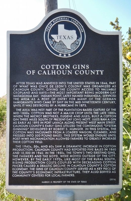
After Texas was annexed into the United States in 1846, part of what was once De Leon’s Colony was organized as Calhoun County, giving the county access to valuable cropland and bays—the most important being modern-day Matagorda Bay. Indian Point, later named Indianola, serviced the area as a Port of Entry for many of the German immigrants who came by ship in the mid-nineteenth century, until it was destroyed by a hurricane in 1875.
The area was not part of the plantation-based culture of the mid-1800s. Cotton was not a major crop until the late 1880s when the Michot brothers, Eugene and Jules, built a cotton Gin three miles south of present-day Long Mott. Jules ran a gin as early as 1895 in Port Lavaca along present West Main Street. Calhoun County’s early gins utilized the continuous “System Ginning” developed by Robert S. Munger. In this system, the cotton was vacuumed from a loaded wagon, cleaned, and pressed into 500 pound bales. This system would endure until post-WWII mechanization allowed farmers to greatly increase their cotton yield.
The 1940s, 50s, and 60s saw a dramatic increase in cotton production. Calhoun County had reported five bales in 1860 and 10,500 in 1940. In the 1950s, the Town’s two existing gins, the Farmers and the Boyd, were moved outside the city. However, by the early 1970s, like most of the Rural South, rising production costs coupled with decreasing cotton prices caused a dramatic decline in Calhoun County’s cotton economy. The gins of Calhoun County served as a key piece of the County’s economic infrastructure. The also served as community centers for local Farmers.
Erected 2016 by Texas Historical Commission. (Marker Number 18423.)
Topics. This historical marker is listed in these topic lists:
this page online
Location. 28° 32.576′ N, 96° 45.732′ W. Marker is near Port Lavaca, Texas, in Calhoun County. It is on State Highway 35 0.3 miles west of Whatley Road, on the right when traveling west. Marker is located in a small pull-out on the north side of the highway. Touch for map. Marker is at or near this postal address: 10254 TX-35, Port Lavaca TX 77979, United States of America. Touch for directions.

Regionally, this marker is in the American South and on the Gulf Coast. Globally, it is in North America, a Gulf of Mexico state, the Western Hemisphere, the Western World, and the Anglosphere. Historically, it finds itself in what was once New Spain, the Republic of Texas, and one of the Confederate States of America.
Other nearby markers. At least 8 other markers are within 6 miles of this marker, measured as the crow flies: Green Lake (approx. 2.3 miles away); Original Mission Refugio (approx. 3.7 miles away); Hatch Cemetery (approx. 4.9 miles away); Sylvanus Hatch (approx. 4.9 miles away); Chocolate Community
Photographed by Cosmos Mariner, May 15, 2018
2. Cotton Gins of Calhoun County Marker (wide view to west)
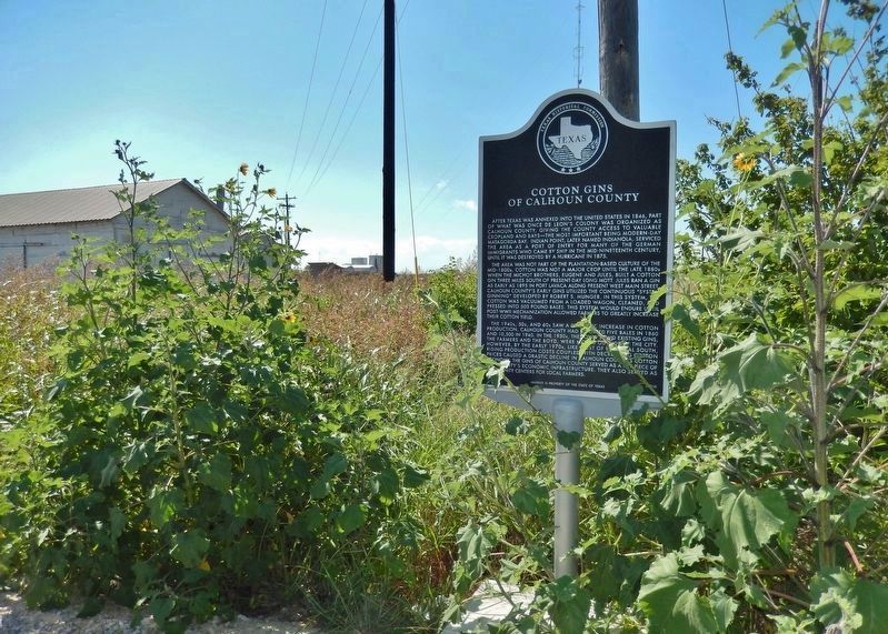
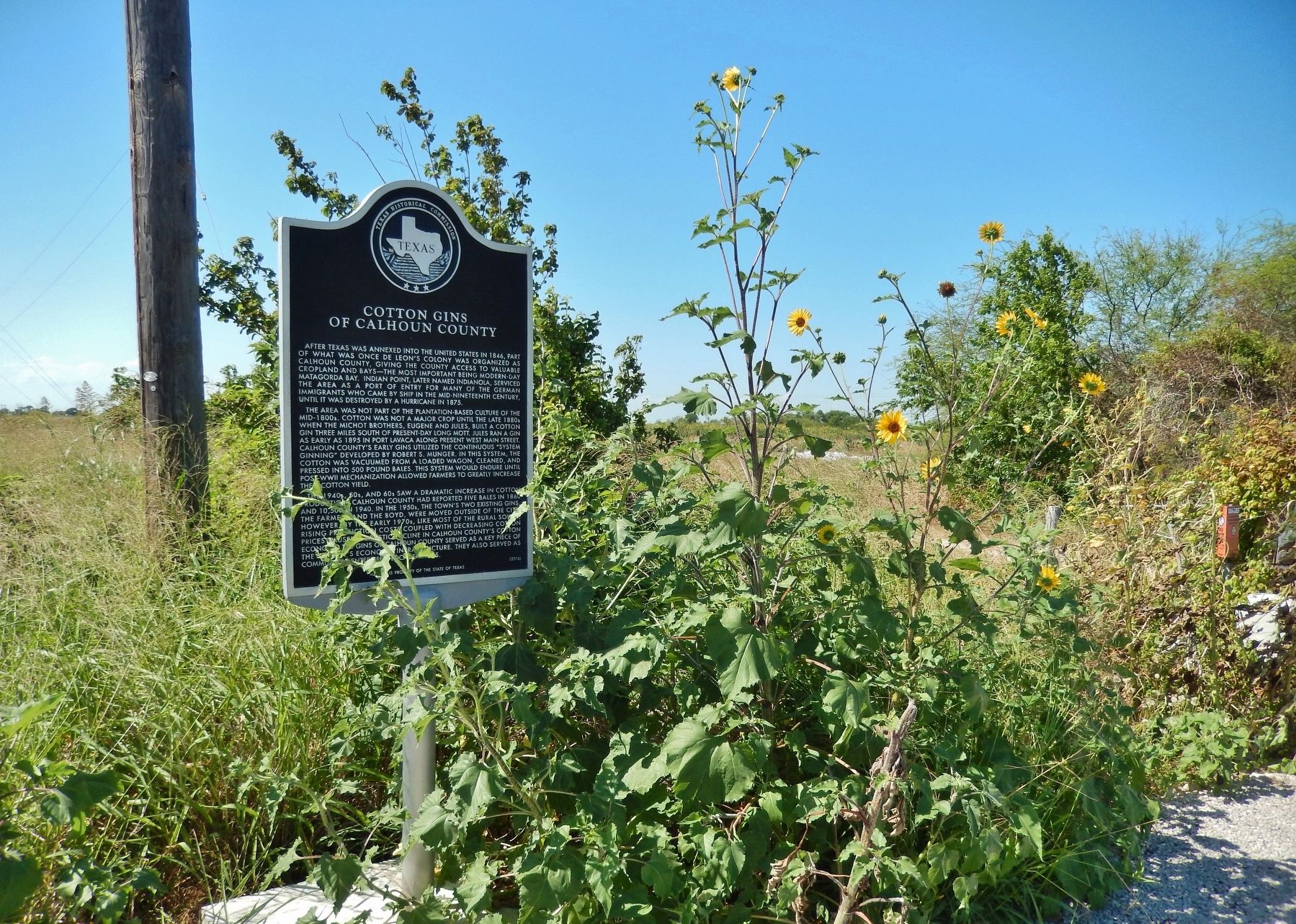
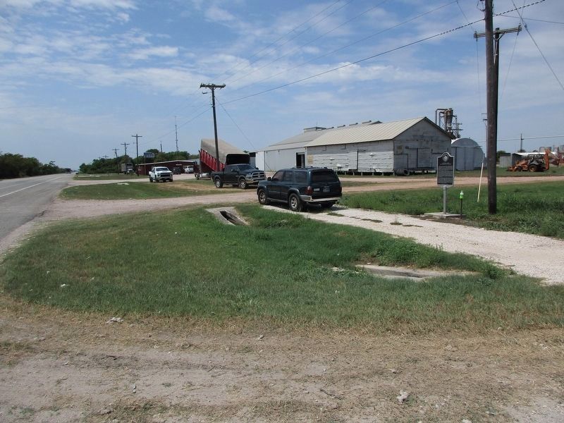
More about this marker. Marker is located adjacent to the Moreman Community Gin Association - a currently active cooperative cotton gin.
Also see . . .
1. Cotton Gins of Calhoun County. There is evidence of cotton gins in Calhoun County as far back as the late 1800s. The earliest evidence in the county were two gins owned by the Michot brothers, Eugene and Jules. During the first half of the 20th century, with the increase in agribusiness, there were no fewer than 10 cotton gins in the county, including ones in Port Lavaca, Olivia, Long Mott, Seadrift, Green Lake and Clark's Station. (Submitted on May 16, 2018, by Cosmos Mariner of Cape Canaveral, Florida.)
2. Coton Ginning. Groups of farmers formed cooperative associations to sell stock, build custom gin plants, and offer a variety of services. During ginning season, which lasted from late August through late December, the gin operated eighteen to twenty-four
Photographed by Cosmos Mariner, May 15, 2018
3. Cotton Gins of Calhoun County Marker (wide view to east)
Photographed by Jeff Leichsenring, August 28, 2023
4. Cotton Gins of Calhoun County Marker
Credits. This page was last revised on July 16, 2025. It was originally submitted on May 16, 2018, by Cosmos Mariner of Cape Canaveral, Florida. This page has been viewed 1,632 times since then and 147 times this year. Photos: 1, 2, 3. submitted on May 16, 2018, by Cosmos Mariner of Cape Canaveral, Florida. 4. submitted on August 29, 2023, by Jeff Leichsenring of Garland, Texas. • Bernard Fisher was the editor who published this page.
