Alexandria in Rapides Parish, Louisiana — The American South (West South Central)
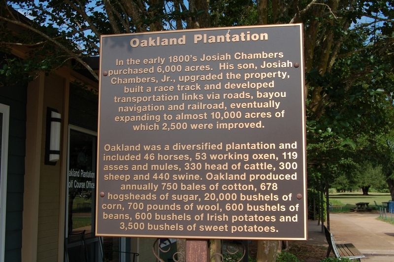
Oakland Plantation
Oakland was a diversified plantation and included 46 horses, 53 working oxen, 119 asses and mules, 330 head of cattle, 300 sheep and 440 swine. Oakland produced annually 750 bales of cotton, 678 hogsheads of sugar, 20,000 bushels of corn, 700 pounds of wool, 600 bushels of beans, 600 bushels of Irish potatoes and 3,500 bushels of sweet potatoes.
Topics. This historical marker is listed in these topic lists: Agriculture • Animals • Industry & Commerce • Railroads & Streetcars • Roads & Vehicles • Settlements & Settlers • Sports.
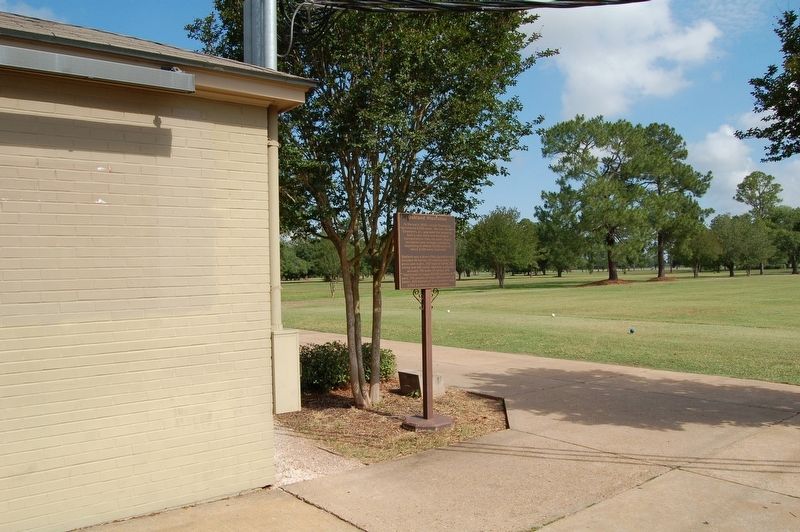
Location. 31° 10.791′ N, 92° 24.809′ W. Marker is in Alexandria, Louisiana, in Rapides Parish. Marker is on Central Campus Avenue near Grady Britt Road. Located at the LSUA Golf Pro Shop. Touch for map. Marker is in this post office area: Alexandria LA 71302, United States of America. Touch for directions.
Other nearby markers. At least 8 other markers are within 7 miles of this marker, measured as the crow flies. Headquarters 1st Calvary Division, Army of West La., May 8, 1864 (about 500 feet away, measured in a direct line); Oakland Hall (approx. 0.2 miles away); Edwin Epps House (approx. 0.3 miles away); Epps House (approx. 0.3 miles away); a different marker also named Epps House (approx. 0.4 miles away); Potter's Grocery (approx. 6.2 miles away); Dr. Whitehead's Medical Office (approx. 6.2 miles away); Meeker Sugar Refinery Gears (approx. 6.3 miles away). Touch for a list and map of all markers in Alexandria.
More about this marker. Located at the LSUA Oakland Plantation Golf Pro Shop
Credits. This page was last revised on June 4, 2023. It was originally submitted on May 22, 2018, by Cajun Scrambler of Assumption, Louisiana. This page has been viewed 521 times since then and 50 times this year. Photos: 1, 2. submitted on May 22, 2018.

