
Near Rice in Prince Edward County, Virginia — The American South (Mid-Atlantic)
Lockett House
Battle of Sailor’s Creek
| — | Lee’s Retreat | — |
Photographed by Bill Coughlin, April 26, 2007
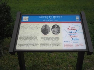
1. Lockett House Marker
Gordon’s corps, which served as the rear guard for the Army of Northern Virginia, also protected the Confederate wagon train. To avoid the fighting near the Hillsman House, the train was rerouted first to the northwest and then south on this road. At the bottom of this hill, where double bridges crossed Little Sailor’s Creek and Big Sailor’s Creek, the wagon train bogged down. Humphreys first drove Gordon from his position here then pressed him across the creek. By the end of the battle, as the sun was setting, the Confederates had lost some 1,700 men – most of them as prisoners – to the Federals’ 536. The remnant of Gordon’s corps continued its march to Farmville, but about 300 wagons and seventy ambulances fell into Union hands.
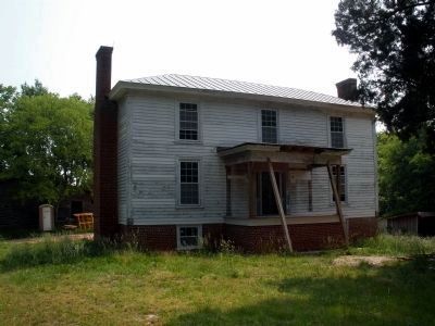
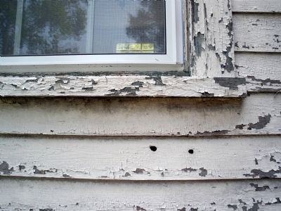
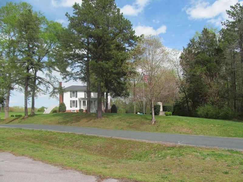
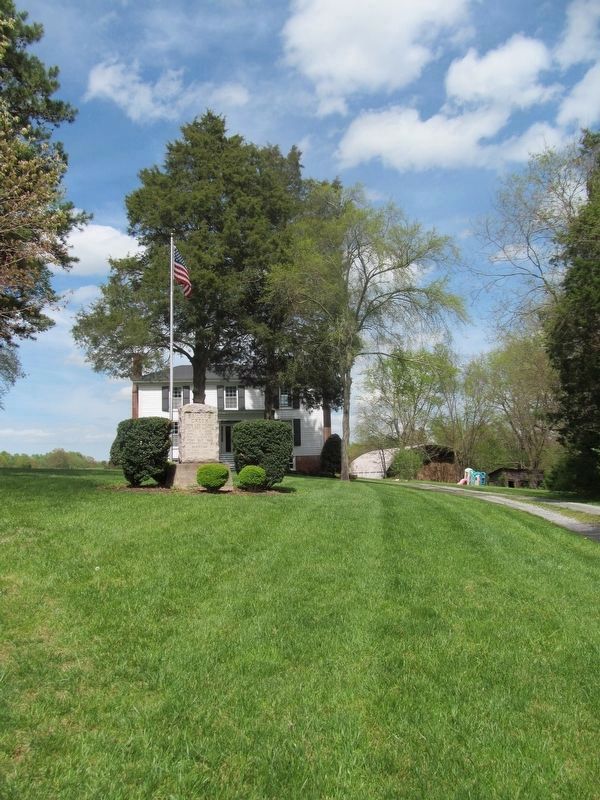
After the fighting ended for the night, the Lockett House became a field hospital.
Gen. Robert E. Lee, after witnessing
this page online
Erected by Virginia Civil War Trails.
Topics and series. This historical marker is listed in these topic lists: Notable Buildings • Notable Events • Notable Places • War, US Civil. In addition, it is included in the Virginia Civil War Trails series list. A significant historical date for this entry is April 6, 1865.
Location. 37° 19.817′ N, 78° 14.89′ W. Marker is near Rice, Virginia, in Prince Edward County. It is on Virginia Route 619, on the right when traveling south. Touch for map. Marker is in this post office area: Rice VA 23966, United States of America. Touch for directions.

Regionally, this marker is in Virginia’s Piedmont, in Southside Virginia, and specifically in Central Virginia. It is also in the American South and specifically in the Upper South. Globally, it is in North America, the Western Hemisphere, the Western World, and the Anglosphere. Historically, it finds itself in what was once the territory of the Mississippian
Photographed by Bill Coughlin, April 26, 2007
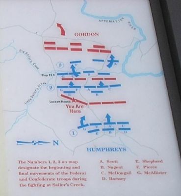
2. Battle Map from Marker
Other nearby markers. At least 8 other markers are within 2 miles of this marker, measured as the crow flies: Sailor’s Creek (within shouting distance of this marker); Double Bridges (approx. 0.6 miles away); a different marker also named Double Bridges (approx. 0.6 miles away); General Wheaton's First Division Assault (approx. 2 miles away); The Federal Artillery Barrage (approx. 2 miles away); a different marker also named Overton/Hillsman House (approx. 2 miles away); Battle of Sailor's (Sayler's) Creek (approx. 2 miles away); Holt's Corner (approx. 2.1 miles away). Touch for a list and map of all markers in Rice.
Other markers no longer nearby. Lockett House (was within shouting distance of this marker but has been permanently removed); Overton/Hillsman House (was approx. 2 miles away but has been replaced with another marker now near it); Hillsman House (was approx. 2 miles away but has been permanently removed); Crossing Little Sailor's Creek (was approx. 2 miles away but has been permanently removed).
Photographed by Bill Coughlin, April 26, 2007
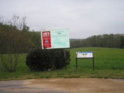
3. Markers on the Lee's Retreat Trail
More about this marker. The top of the marker contains portraits of Gen. Andrew Humphreys and Gen John Gordon. A map of troop movements during the Battle of Sailor’s Creek is on the right of the marker.
Also see . . .
1. Lee's Retreat to Appomattox. Virginia Civil War Trails. (Submitted on September 26, 2008, by Bill Coughlin of Woodland Park, New Jersey.)
2. Sailor’s Creek. CWSAC Battle Summaries. (Submitted on September 26, 2008, by Bill Coughlin of Woodland Park, New Jersey.)
3. Sailor's Creek State Park. Virginia State Parks website. (Submitted on September 26, 2008, by Bill Coughlin of Woodland Park, New Jersey.)
4. Lee's Retreat. Virginia's Retreat guide. (Submitted on September 27, 2008, by Bill Coughlin of Woodland Park, New Jersey.)
Photographed by Bill Coughlin, April 26, 2007
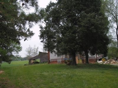
4. Lockett House
The Lockett House is located across the street from the markers. At the time of the photo, it was undergoing extensive renovation.
Photographed by Bernard Fisher, May 31, 2008
5. Lockett House
Photographed by Bernard Fisher, May 31, 2008
6. Bullet holes from the battle evident in the Lockett House.
Photographed by Roger Miller, April 26, 2018
7. Lockett House
Photographed by Roger Miller, April 26, 2018
8. Lockett House Marker
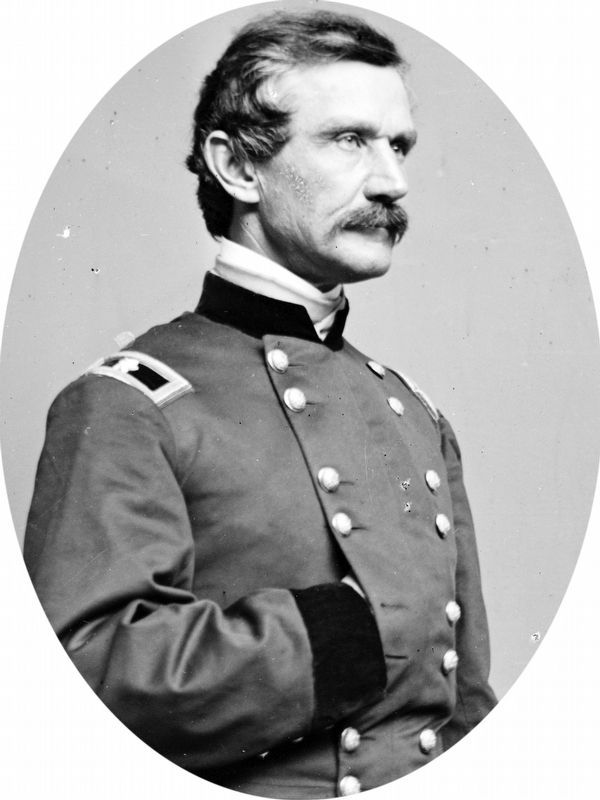
Library of Congress
9. Gen. Andrew Humphreys
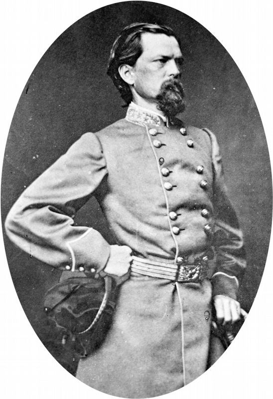
Library of Congress
10. Gen. John Gordon
Credits. This page was last revised on November 3, 2024. It was originally submitted on September 26, 2008, by Bill Coughlin of Woodland Park, New Jersey. This page has been viewed 4,668 times since then and 249 times this year. Photos: 1, 2, 3, 4. submitted on September 26, 2008, by Bill Coughlin of Woodland Park, New Jersey. 5, 6. submitted on March 1, 2010, by Bernard Fisher of Richmond, Virginia. 7, 8. submitted on April 27, 2018, by Roger Miller of Pulaski, Virginia. 9, 10. submitted on April 22, 2019, by Allen C. Browne of Silver Spring, Maryland.
